


Contents:
I always wanted to go on a really long motorcycle trip, my dream was to one day go around the continent - at least to Alaska and around the US. I didn't have that kind of time this summer but I had just enough (20 days) to go on a ride to the easternmost point in North America (on the edge of Newfoundland) and come back.
I had a notebook with me as I usually do on my trips and I made
notes about interesting things I saw, but unfortunately I lost it
when I was almost all the way there. That was so sad! So this page
is built from memory, with the help of the photos.
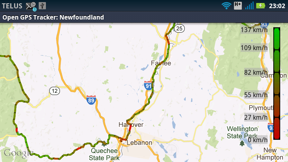
On the way there I took the scenic route, a very lucky choice of
road through Vermont and New Hapshire. Maine was the most boring
part I thought, New Brunswick and Nova Scotia not much better.
Newfoundland was nice, despite the face that I had to go on the
transcanada most of the way.
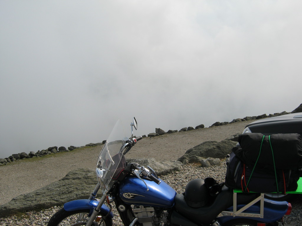
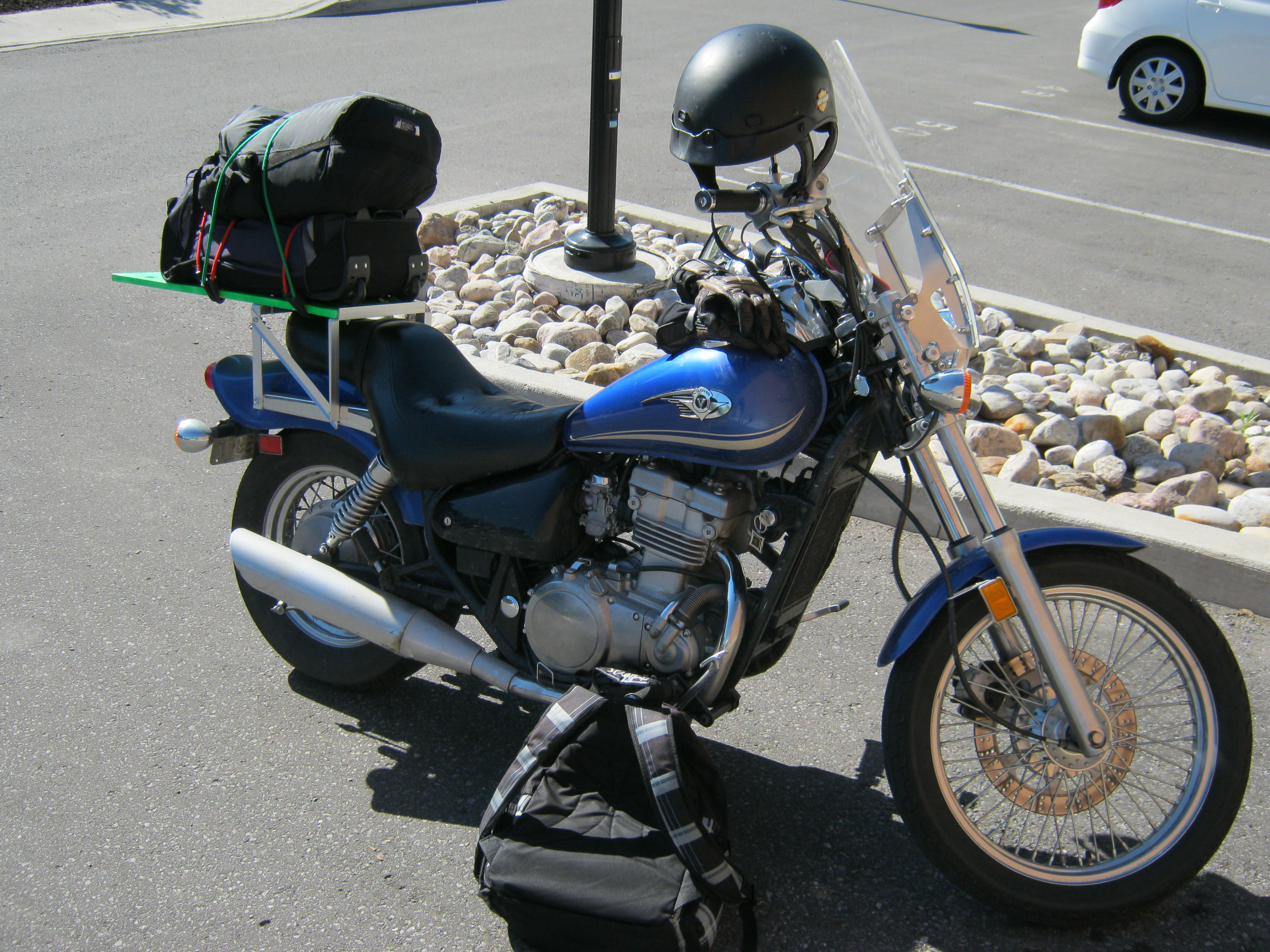
A trip of this magnitude need a lot of preparation, and getting
the stuff you need is actually one of the simpler things. Here's my checklist, you can use
it as a starting point to make your own. Notable things on here:
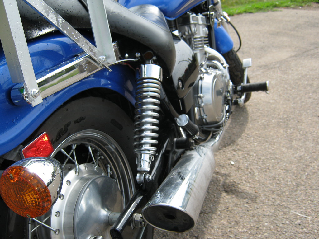
Preparation: Bike
Preparation: Roadmap
I asked around for advice about the road, and got lots but
basically it boiled down to: stay away from major highways. The
actual planning I did in several steps:
Preparation: Time off
I happened to have a job that pays poorly but allows me a lot of
free time, so getting 3 weeks off for this trip was a piece of
cake. For most other people that will be much more challenging. I
decided to spend most of the 3 weeks on the way there, and rush
back - I think that was a good decision for me, but the way back
was definitely taxing.
Preparation: Partners
It's probably better to go together with someone
else - if you have friends who are into motorcycles and have the
time to do this. Alternatively you can go by yourself - that has
its benefits too, you never have to worry about what the others
would like to do, you just do whatever you want whenever you feel
like it :)
I was going to have a partner or two but they chickened out :)
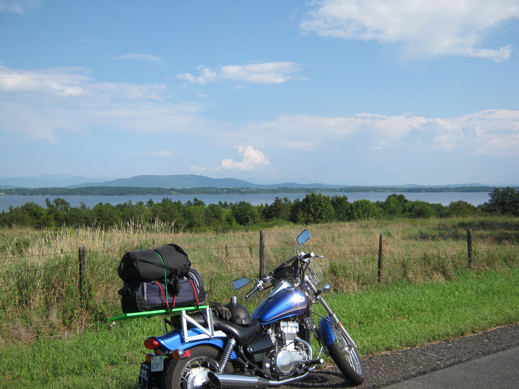
And after all that preparation and a good night sleep... I'm off!


I didn't expect to hear that highway 7 goes all the way to
Peterborough, and it turns out it doesn't really. At a small scale
it looks like it does - but really it's a bunch of separate roads
that were branded as Highway 7. Luckily there are lots of signs,
so I didn't get lost on the way.
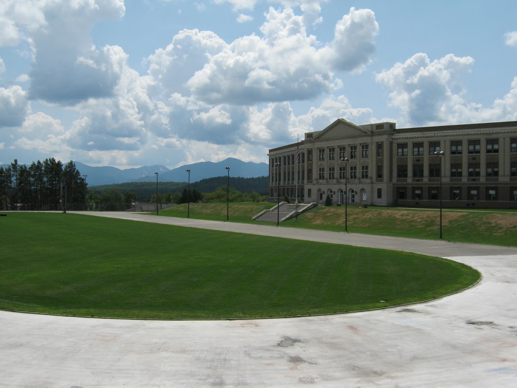
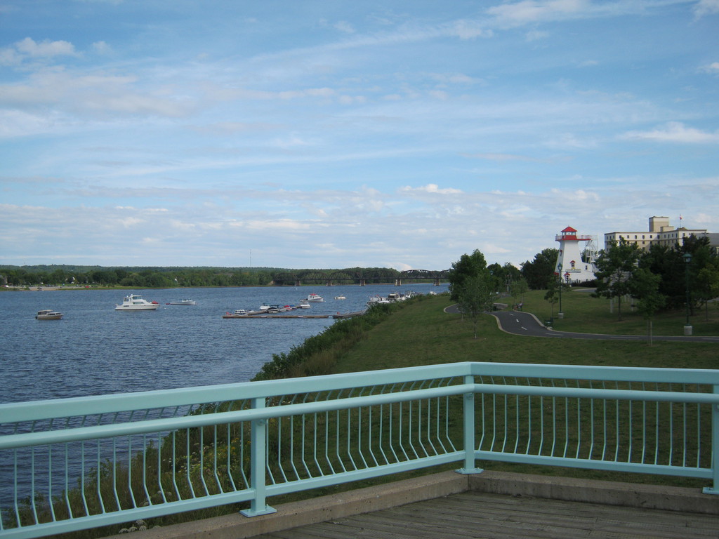
The only tourist stop today was Peterborough. For some reason I
was surprised that it was pretty there. By a stroke of luck there
was a welcome centre right on my way. I wasn't planning for it but
that day I found these places are super useful for travelers, even
if you're not into shopping and gambling :) You can usually get a
map (in the US you can even get a free map of the state you're
in), and more often than not the person working there will be nice
and helpful with answering your questions.
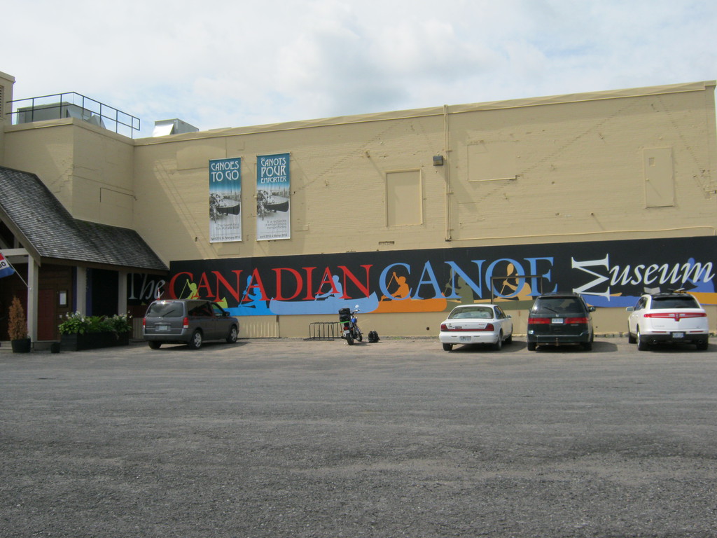
I said I only have a couple of hours, and got some
recommendations for Peterborough highlights - the Canoe Museum,
the Lift Lock, and the Botanical Gardens. I went to see two of
these (was planning to see the gardens, since they were free, but
simply forgot). The booklet they give you at the visitor's centre
has coupons for some of the attractions too, easy way to save a
few bucks.
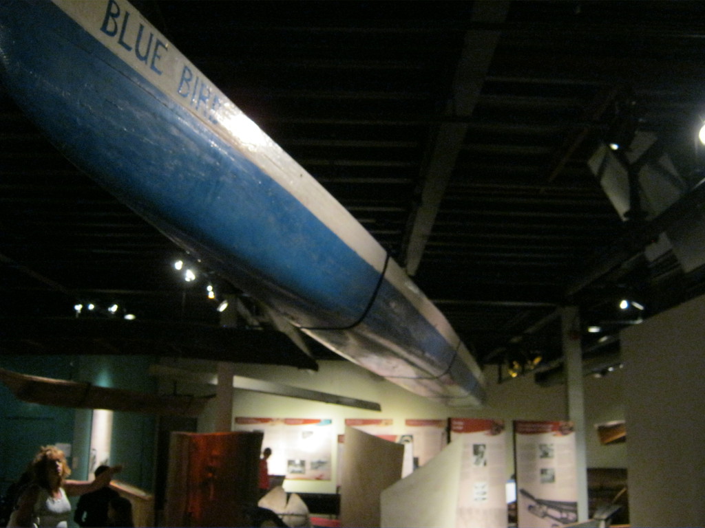
The museum was nice, I loved the ridiculously long boats - this
blue one is just unbelievable, it's longer than a typical house!
There were also a lot of older canoes made out of bark and dug out
of tree trunks.


These views I think are from the top of the hill in Ashburnham
Memorial Park, right next to the Lift Lock. The loft lock is very
old (almost 100 years I think) but still in active use. "The
world's highest hydraulic lift lock". That left side started going
up just as I finished asking the lady at the information desk
about it - pretty cool to see if you haven't seen something like
this before.


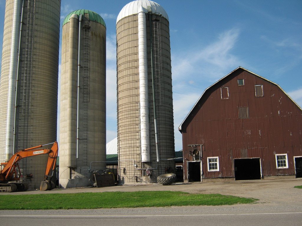
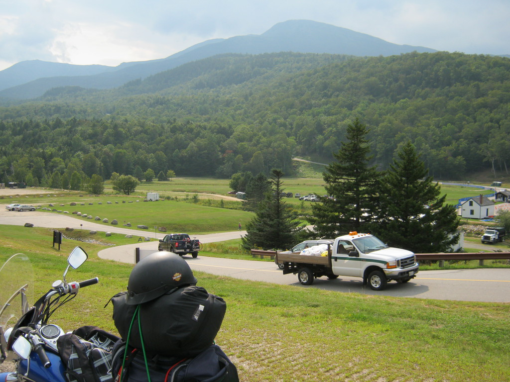
Some random photos on the way. I am clearly fascinated by big
buildings, those two are probably the new and the old version of
the same farm, one facing the other:

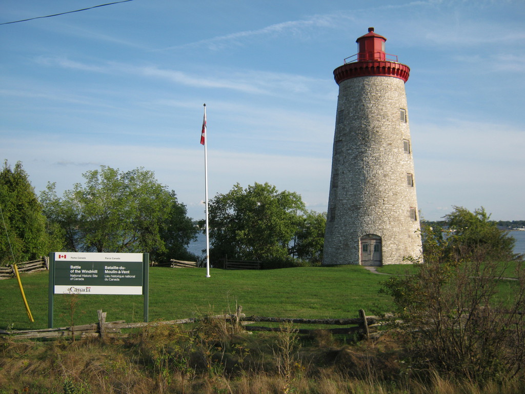
Here's the site of the Battle of the Windmill, it's kind of cute.
That's the US on the other side of the water:
The crossing at Ogdensburg was great, I was the second person in
line and had to wait only about 30 seconds. The guard looked
curiously at my redneck setup, and asked me to confirm how long
I'm planning to be in the states (I said 3-4 days), but let me go
without trouble.
This is where I had dinner (Pizza) in New York state, I didn't
feel like searching for food - I had to get to the campsite
quickly as the day was waning. That turned out to be a bit of a
pattern - almost every day I would arrive just as darkness came,
give or take an hour. Strange given that almost all of the days
were less than 500km of riding. So no more photos today.
Arrived just after dark, was pleasantly surprised that the park
office was still open, till 22:00 I think they said. This kept
happening to me on the trip, and except for one park that closed
at 21:00 most closed either at 22:00 or 23:00.

I asked for a site with electricity (that's what the grey pole is
for), but that was of no use for me. Actually I shouldn't have
bothered to take my laptop at all. Also I don't think I ever
bothered to make a fire - I was usually too tired to search for
wood.
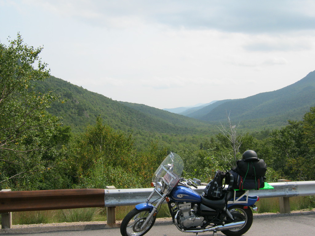
Not long into the day the mountains came. It's really awesome
riding: up, down, left, right, right, left, on and on, a rider's
dream! I tried to film it but I'm not a good enough rider to be
able to steer on those kinds of roads with one hand, so no videos
of me enjoying myself.
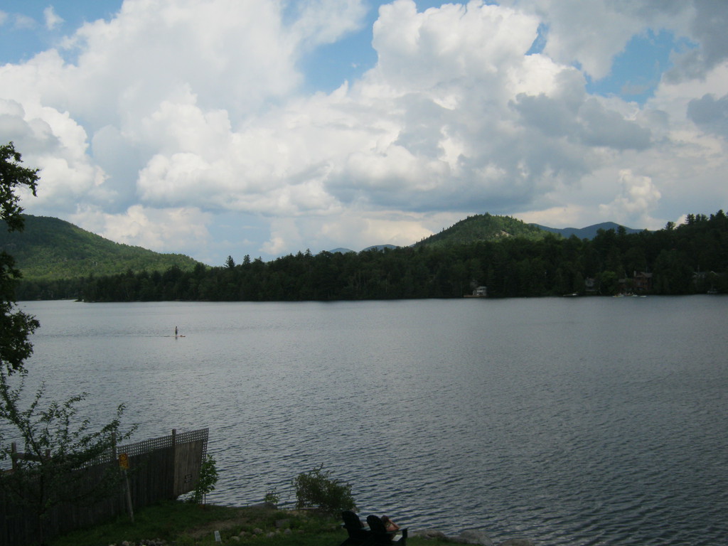
Lake Placid is also in these mountains, they had the olympics
there a couple of times. It's a pretty little town, I left my bike
on the street, walked around, had lunch. There was probably a lot
more to do here, but I didn't know what, so I didn't stay much
longer than that.
Steep!
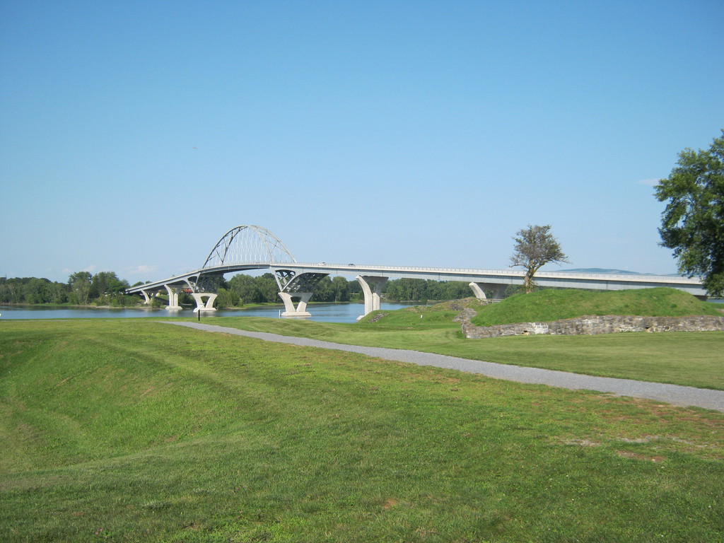
Over the water is Vermont.
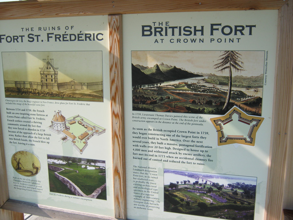
The bridge is to Vermont, it is a replica of a bridge that was
there for many decades up till 2007 or so. On this side of the
bridge are the ruins of two forts - one british and one french:
Fort Crown Point.
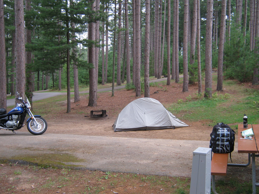
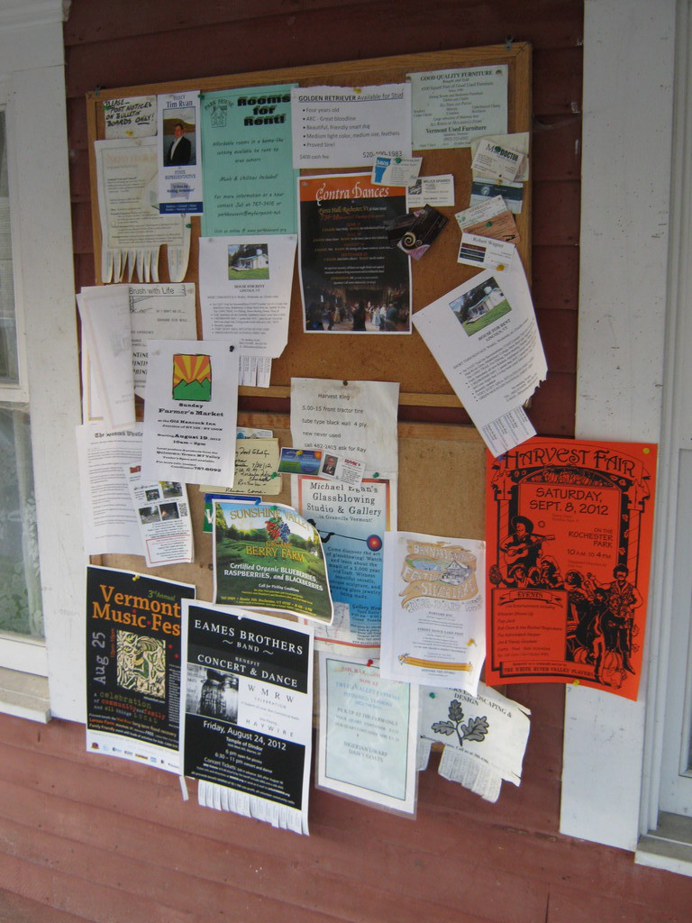
Had dinner at a hotel restaurant right on the intersection of 125
and 100, not far from where I'd sleep that night (Gifford Woods
State Forest Park). I enjoyed this cork board outside the
restaurant, it looked like it might be all the business that
happens in the whole region, there aren't any cities.
I arrived pretty late (darkness) but there wasn't anything to do
in the park anyway. Strange also that it was right next to the
busy highway. No matter, it was a good enough place to sleep.
These are from the east side of the Vermont / New Hapshire
border:

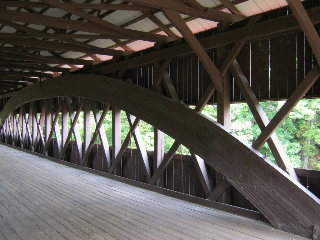
Unfortunately all I remember about the location of this bridge is
that I made a wrong turn to get to it, turned left one
intersection too soon. It's neat because it appears to be made
completely out of wood, including the arch. Quite an engineering
feat if that's true. Only pedestrian traffic is allowed:

Another one of the many gorgeous views:
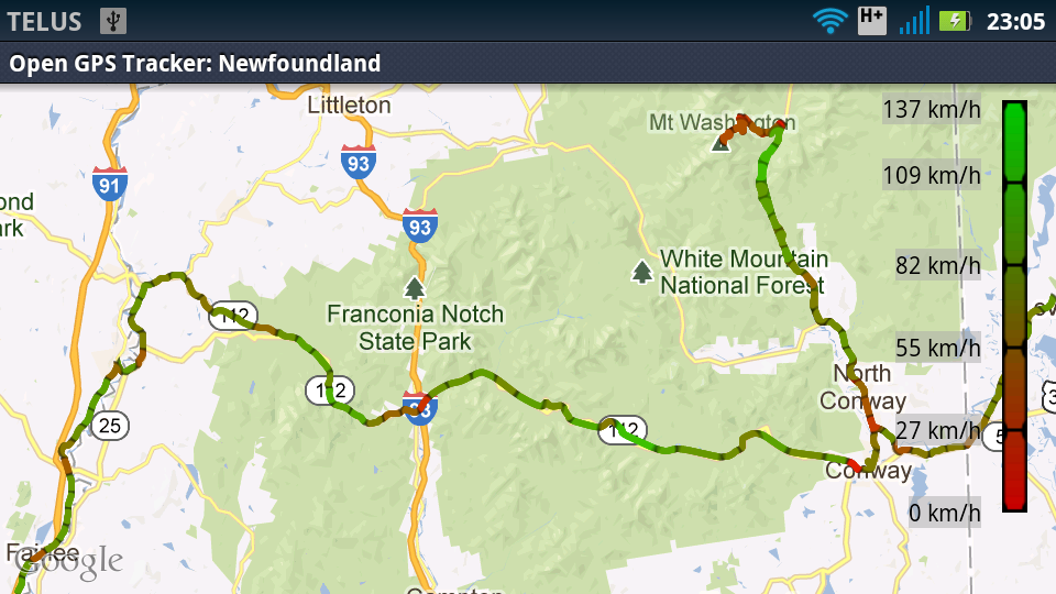
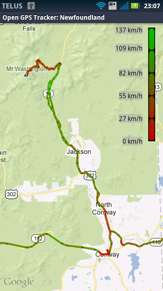
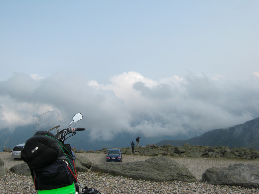
Not originally on my plotted route, this is one of the places I
definitely wanted to visit: Mount Washington, the tallest peak in
the north east (I think I read somewhere), almost a 2km climb.
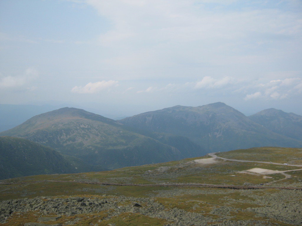
It's a very cool climb, definitely worth doing if you're around,
even in a car, though in a car it's got to be a lot more
challenging since the road is very narrow and you have to share it
with opposing traffic and riders like me who want to pass you.
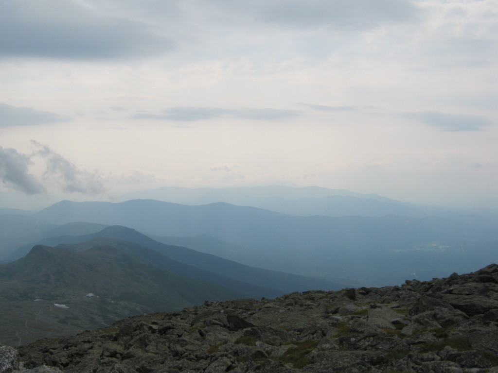
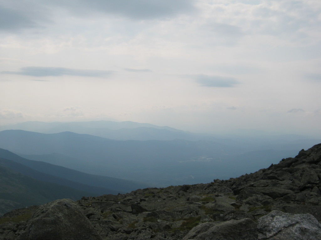
There are lots of very nice views on the way, but these photos
start from the top, I didn't want to stop and shot photos on the
way, it was having too much fun :)
Those are clouds!


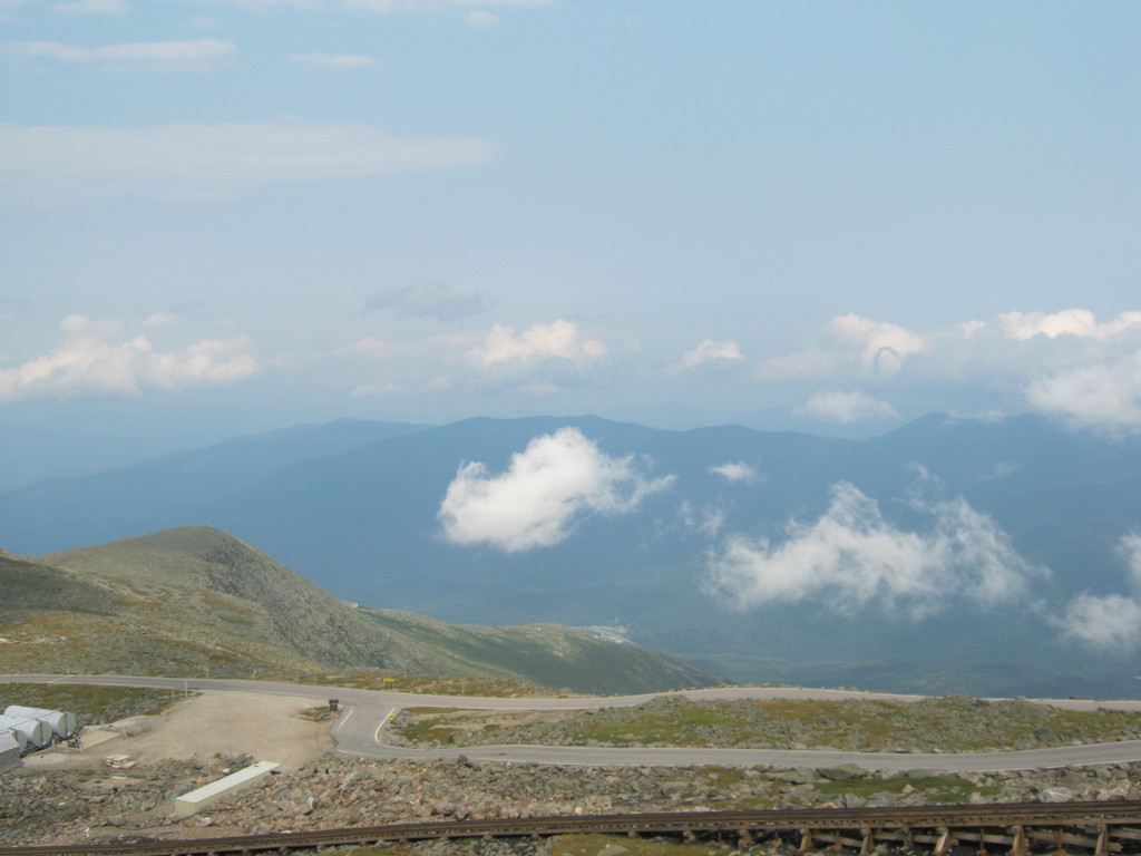
At the top of the mountain there are a handful of buildings, this is one of them, built as a hotel a long time ago, not sure why it's no longer used (it would be very cool to stay there for a night):

See the cairns? Those are for people who climb this on foot, I
will definitely do that, hopefully next summer:
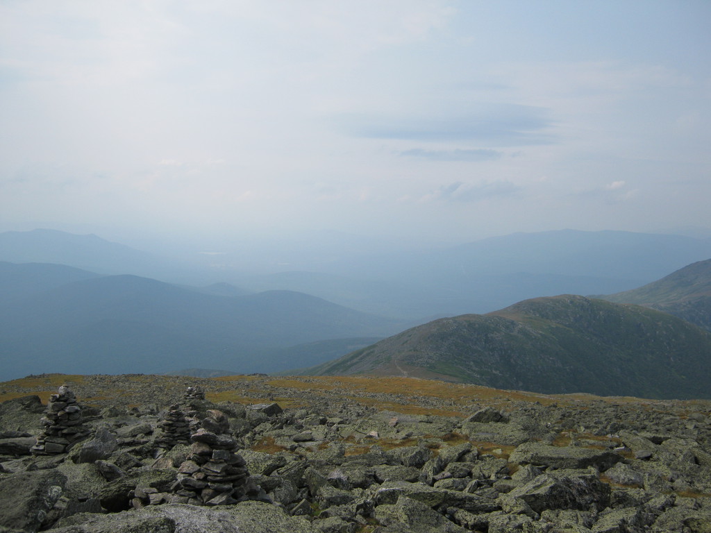

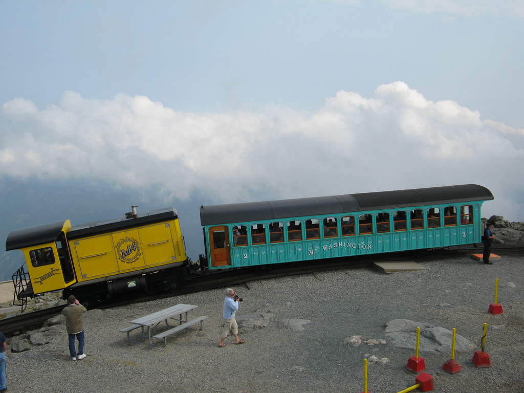
And check out the railway, I'd be more scared to go on that, it's
very, very steep!

"The highest wind ever observed by man was recorded here"
372 km/h! After the climb I wasn't very surprised to see this
sign. It wasn't a windy day but it was very windy on my way up.

Compare these two photos with the ones above, the difference here
is that now we're inside a cloud, rather than looking at it from a
distance :)

And back down, that's the mountain:

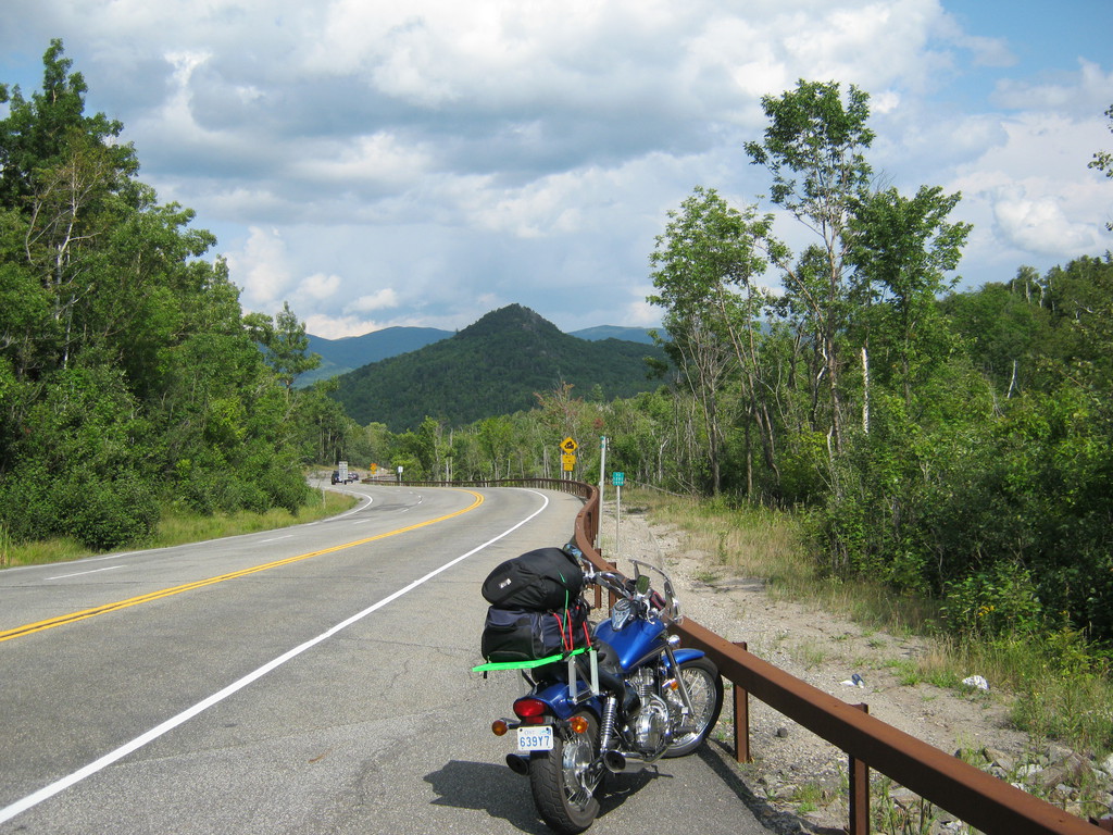
Before getting to the following crossroads I wasted at least 45
minutes going the wrong way, I think it was north on highway 5, I
was so pissed off. The reason for the wrong turn was the more than
3 different Rumfords in the area. I though I made it past Rumford
but I didn't.
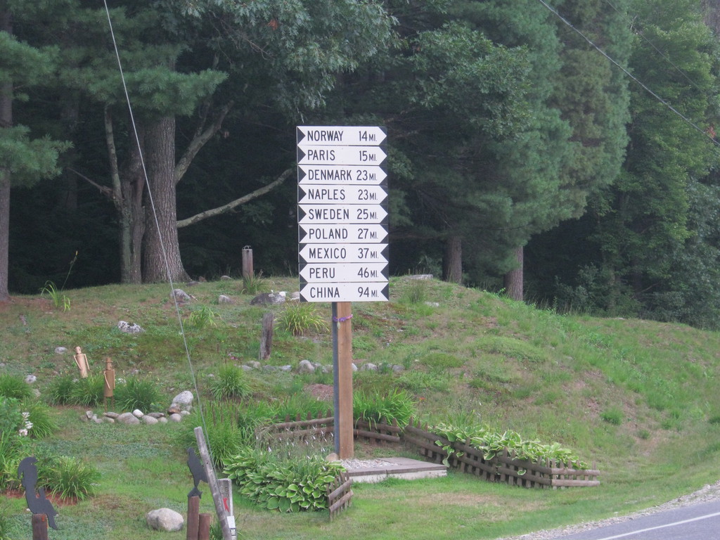
No wonder american kids don't know any geography. This is how
someone's idea of a joke became reality, I found all these
villages on the map later (not being sure whether they're made
up). Had to stop even though it looked like rain was coming:
And the rain came, pouring down. I should have put the bags into
garbage as soon as I suspected rain, this is a lesson I never
learned on the trip. Because it was also getting dark I didn't try
to wait it out. Even though I was told in Vermont / New Hampshire
rain typically lasts less than half an hour - the last thing I
needed was to ride through a torrent in the dark. It did stop
after 20 minutes, just after making sure I was completely soaked
:)
And if it wasn't for the wrong turn I may have missed the rain,
and I would have made it to the park while there was still some
light on the road. That light would have helped me figure out that
the campgrounds were far, far from where I thought they were. The
campground is on the south west side of Webb lake, not North East
of it as I expected.
Figuring that out was an adventure, took all the composure I
could muster. The problem isn't just the lack of signs that are
visible in the dark - the problem is that all around the northern
part of the park there are houses, which means driveways, which
are hard to distinguish from small roads until you're right on
them. In the end - man, good thing I had enough gas, I spent at
least a quarter of the tank going round and round in the dark.
At some point I stopped a driver going by, asked about the
camping and he said oh yeah, he thinks it's up farther north. Good
thing I decided not to listen to him and went back to School st. I
found the campground sign where I least expected it, pointing the
way I didn't expect, but that leap of faith paid off. After two
hours of crazy searching in the dark in the fog in the rain I
found the park office, wooh. Having a flashlight helped a lot with
the set up of the tent.
The park itself was a little freakishly far from the road. It's
only about 15km, but on gravel roads and there are many forks (for
ATVs I think). Still, I made it without trouble. The guy running
the place said he's never seen a bike puncture a tire there
(that's what I was mostly worried about) but it happens to a car
now and then.
Looking at this photo I'm not sure why, but when I was there I
really didn't feel like going across, I was worried there might be
a deep hole in there. But an SUV crossed it without stopping,
which gave me some confidence. On my way back the next day I
didn't see this at all, it's likely flooded periodically or at
random times during the day.

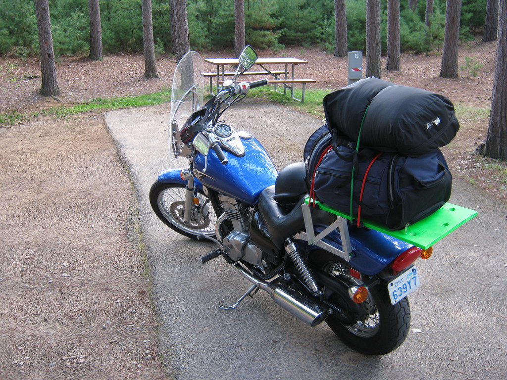
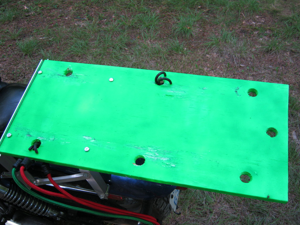
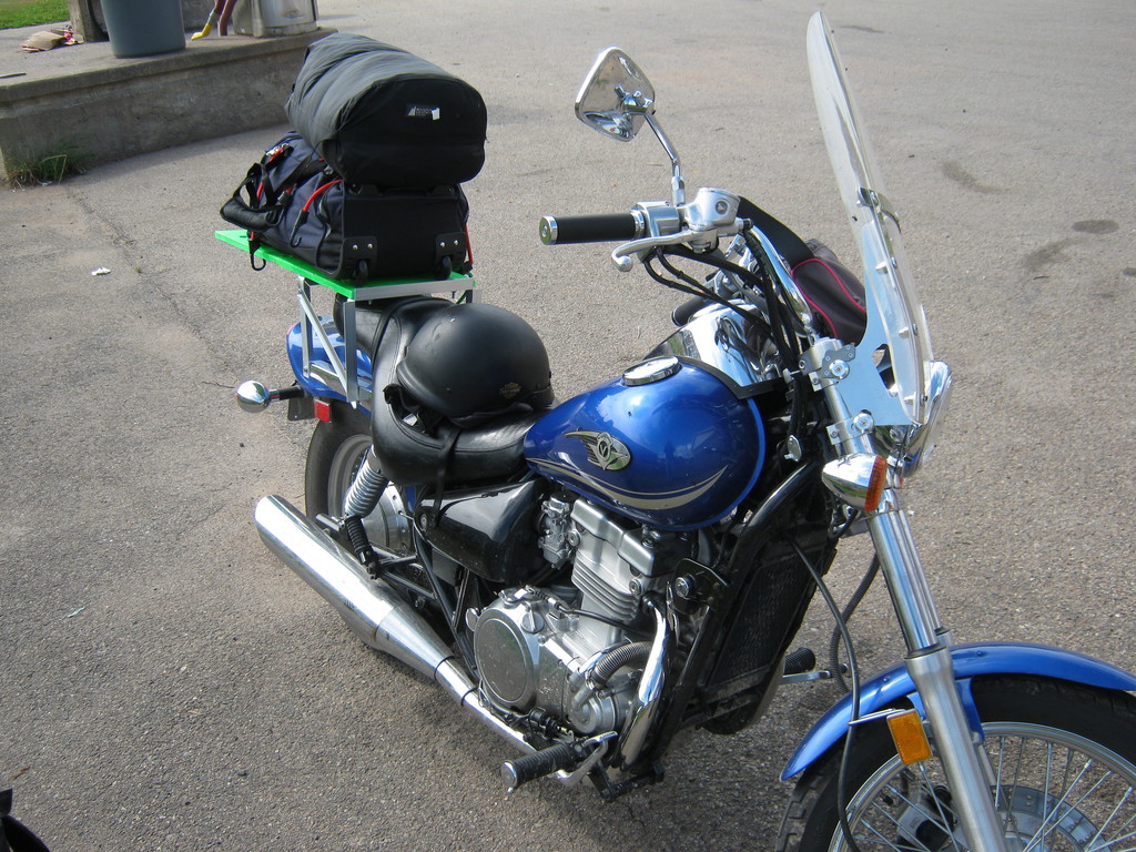
Had enough time today to take it easy, dried all my stuff. The
rack got all scratched from the plastic rails on the bottom of the
bag. I still haven't decided whether those rails made the whole
setup more or less stable. No major damage though, looked like it
will last the rest of the trip (it did).

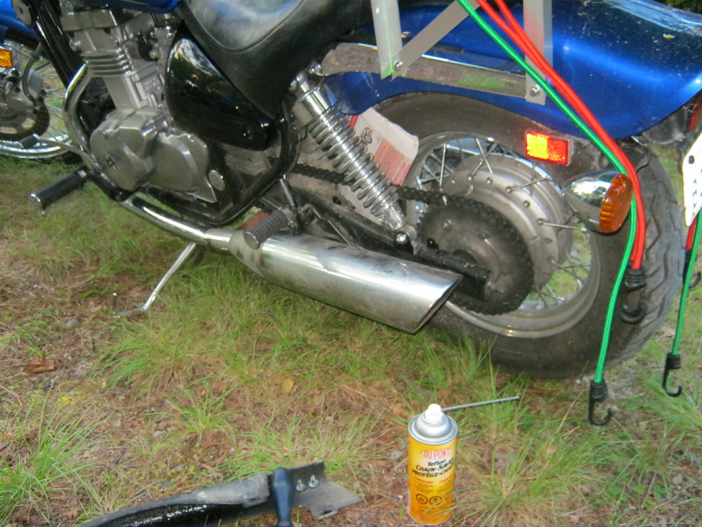
Also I made a photo to show how to lube the chain on the road: on
my bike all I needed was a phillips (cross) screwdriver and a
newspaper. I took the chain guard off, put the newspaper between
the chain and the tire (you really don't want lube on your tires,
especially on the sides), lubed the length of chain accessible on
the top side, rolled the bike back, repeated a few times, and it
was all done. Much easier than I expected, I normally do it with
the bike raised off the ground.
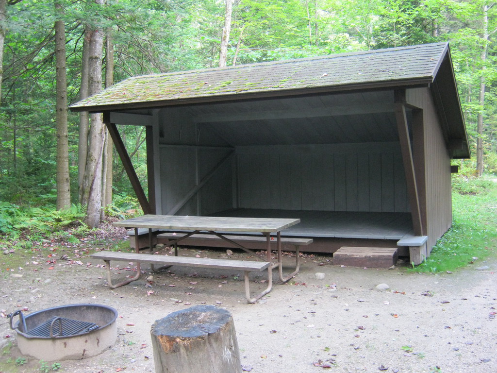
The park itself would have been not very interesting but nice and
quiet if it wasn't for mosquitoes. There are swarms of them, so
lucky me that I had a mosquito net. I'm not sure why I didn't
bother to look for firewood, probably too tired to bother, but
that would have probably helped scare off the bugs.


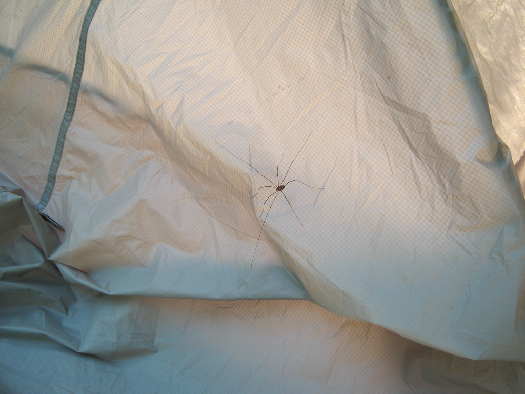
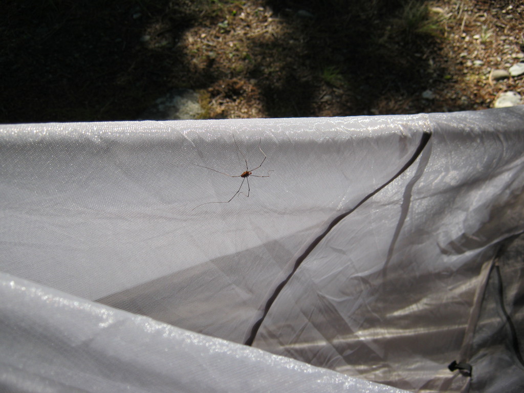
Slept well enough (actually I did every night on this trip, and
woke up early enough without trouble). More than one night I found
that insects love getting in between the outer and inner layers of
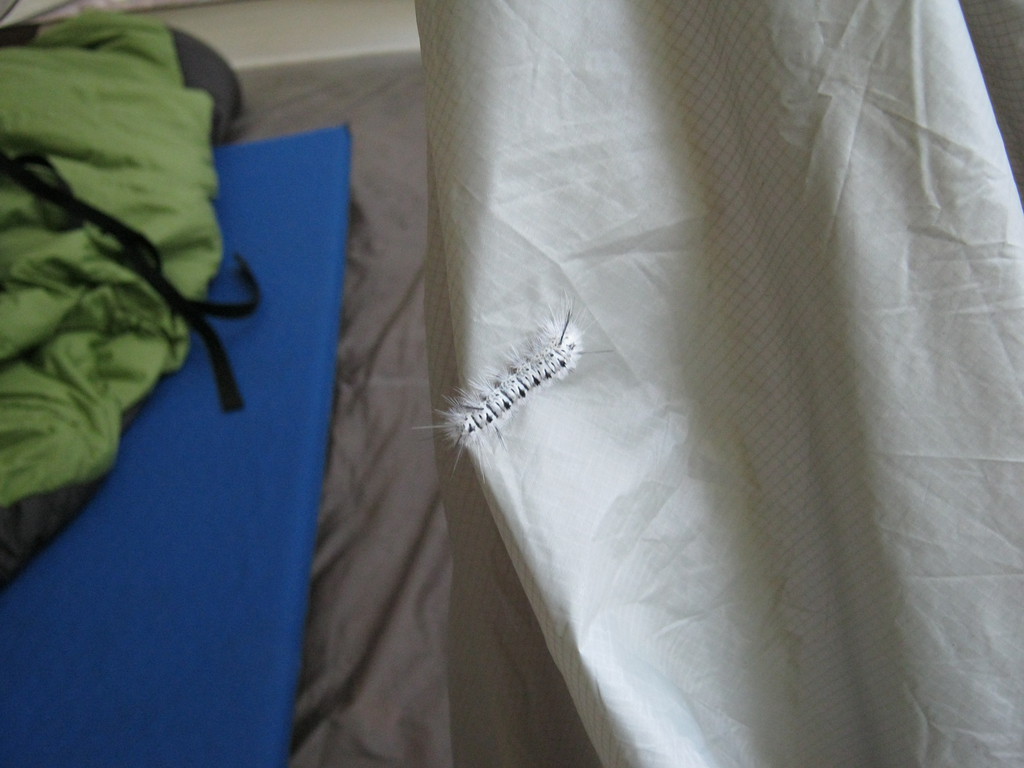
the tent and sleeping there. At this campsite it was long-legged
spiders and a fluffy caterpillar :)
The rest of Maine was even more boring than the day before. Also
I made it to the border at least an hour before I expected it,
probably dazed off on the bike :)
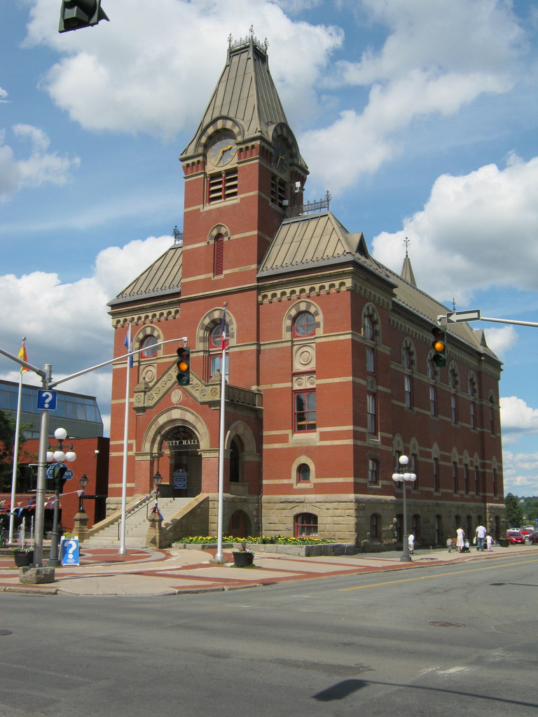
Fredericton downtown was cute enough, but very empty. That street
with no cars or people on it is the main street going right
through it. Went for a walk around for an hour or so.

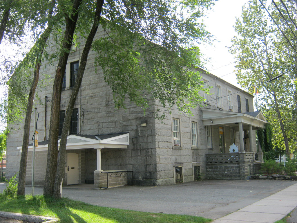
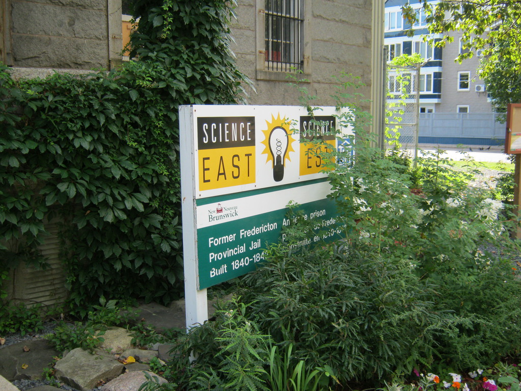
This tiny little building used to be a jail. Almost looks nicer
than a typical house built these days :)
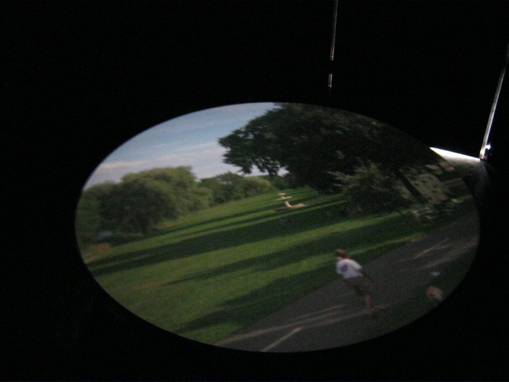
This is a sort of vaguely interesting contraption in the park on
the St John river. Looks like a cross between a garden shed and a
lighthouse on the outside, on the inside after you eyes adjust to
the darkness you see this, it's a live image of the outside, I was
half expecting to see an image of when it was built a long time
ago.
The river:


Used google maps to find a restaurant with good reviews, that was
pretty good (sadly I don't recall what it was called). It had a
very handy power plug I used to charge my laptop and internet to
replan my route.
The problem was I received an email and a phone message from
Marine Atlantic telling me that my ferry has been rescheduled for
some reason, and now I have to be there just six hours earlier
than my original reservation. Gee, and what if I didn't have a
phone (that could read email) with me? Because of this I had to
cut off half of the Nova Scotia trip (a loop of the west end of
the province).
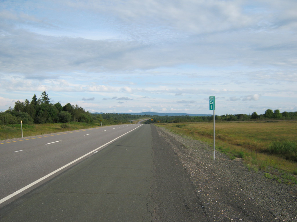
This is highway 7 (popular number!), 100% unpaved, I don't think
the photo does it justice - it's quite a dirt road and I'm just
happy it wasn't wet.

I was happy to see something that looked almost like a mountain
in the distance:
Decided to go look at Saint John today. What idiot decided to
have two St John cities in Canada, I wanna get my hands on him..
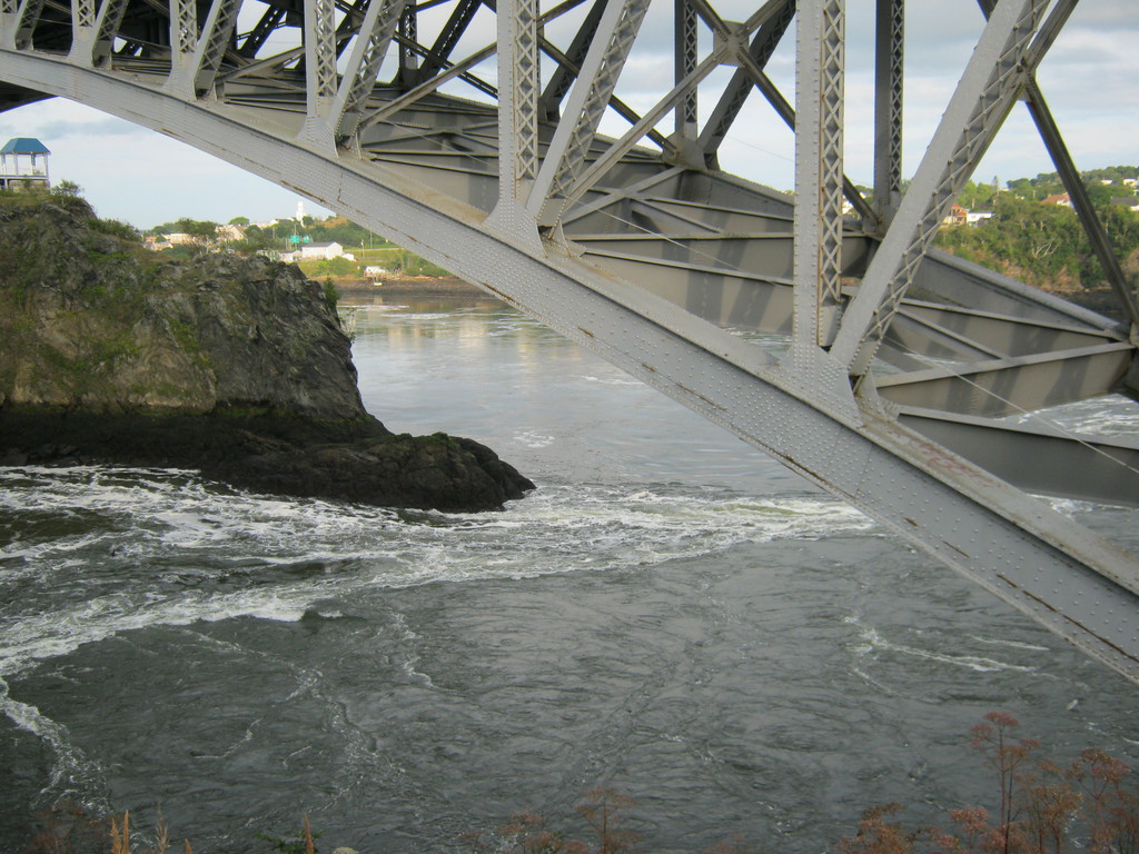
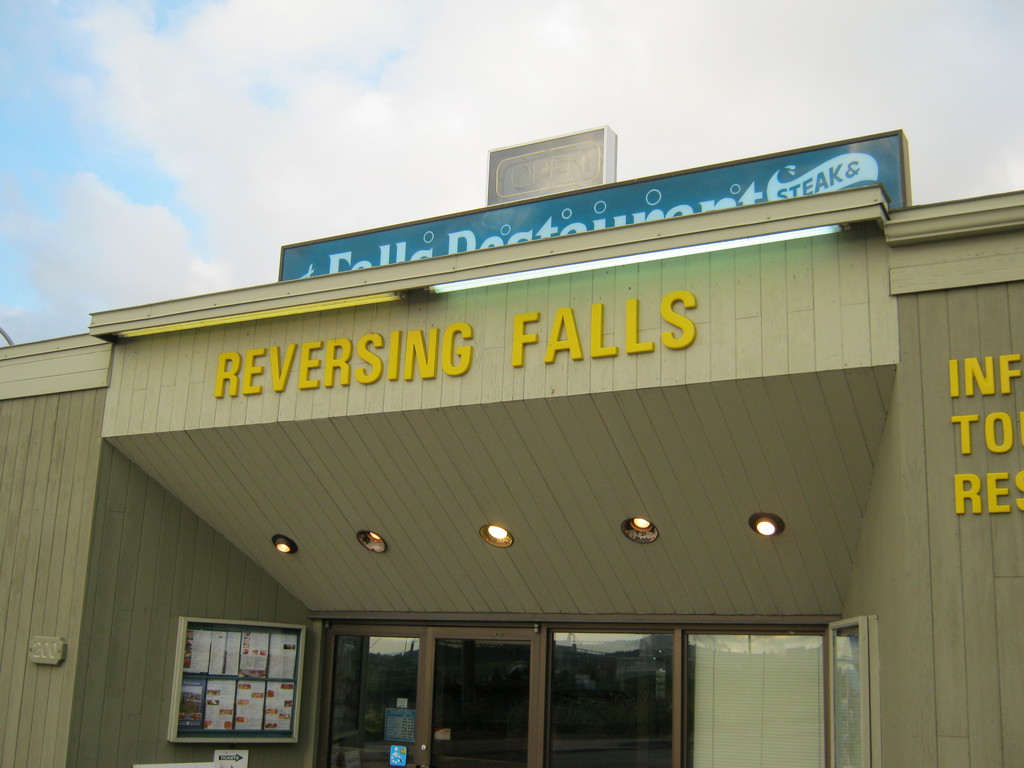
These are the reversing falls, very cool concept and looks nice
even when only flowing downward. Unfortunately it's a 12 hour
cycle so I'd have had to come back either at 2 in the morning or
14:00 to see it flow the other way, could not be done on this
trip.
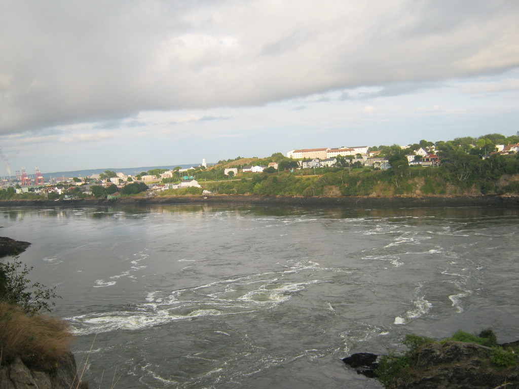

The black parts of the cliffs are how far the water rises when
the tide comes, pretty cool. And I'd really like to hear the story
of that poor guy's green house :)

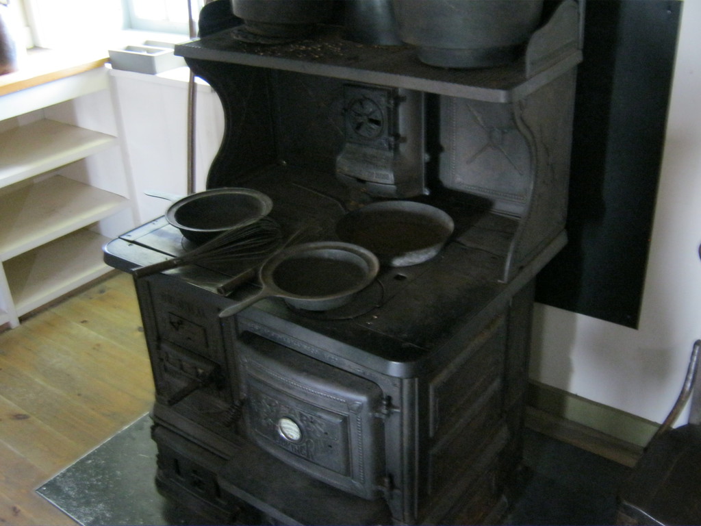
New River Beach was a pretty nice park. This kitchen with working
wood burning stoves (I've never seen one before) also had power
plugs, great for recharging laptop and camera batteries.

It sucked a little that the park was next to the highway, but
that was also good because I hadn't eaten yet (it was already
dark) and there was a motel restaurant not too far west on the
highway (on the south side). Had a little adventure paying for the
food - didn't have enough cash and they had the old-school
mechanical credit card device that the lady didn't quite know how
to use. She was happy to take american cash which she took at par,
I was happy to get rid of it.
I'd have loved to spend a few hours around this park. Maybe go
for a swim, a hike on Sentier Chittick's Beach Trail, but I
decided to go on for some reason, maybe I was hoping to see PEI.

Before I left I had to make a photo of the moss they have growing
out here instead of grass, it was really pretty and unbelievably
soft:
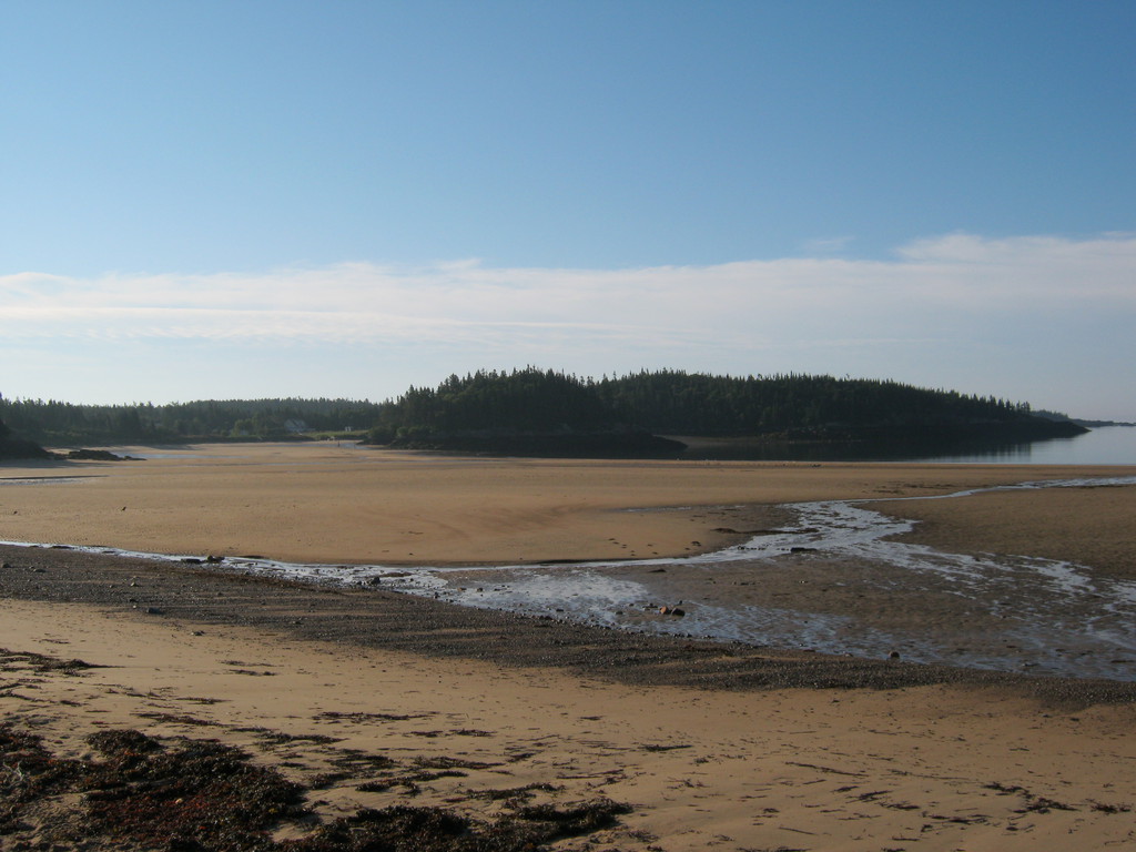
Went on a quick walk on the beach, all of this gets flooded by
the highest tides in the world (I think they said 6 meters):


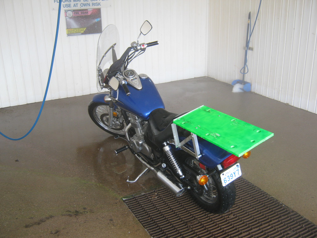
At some point (I think in Sussex) I found a DIY car wash with a
pressure washer and decided to clean my bike a little. I knew it
wouldn't be perfect but it had a lot of dirt on and I wanted to
clean it a little at least. Cost me 3$ or so and didn't do too bad
a job (finished the pipes using some crumpled newspaper). When I
got home I noticed in my manual it said do not pressure wash the
bike, cause water will get into places it's not supposed to get
into and that's bad. Oh well, good thing I only did it once and
didn't get stuck anywhere with a carburetor full of water :)


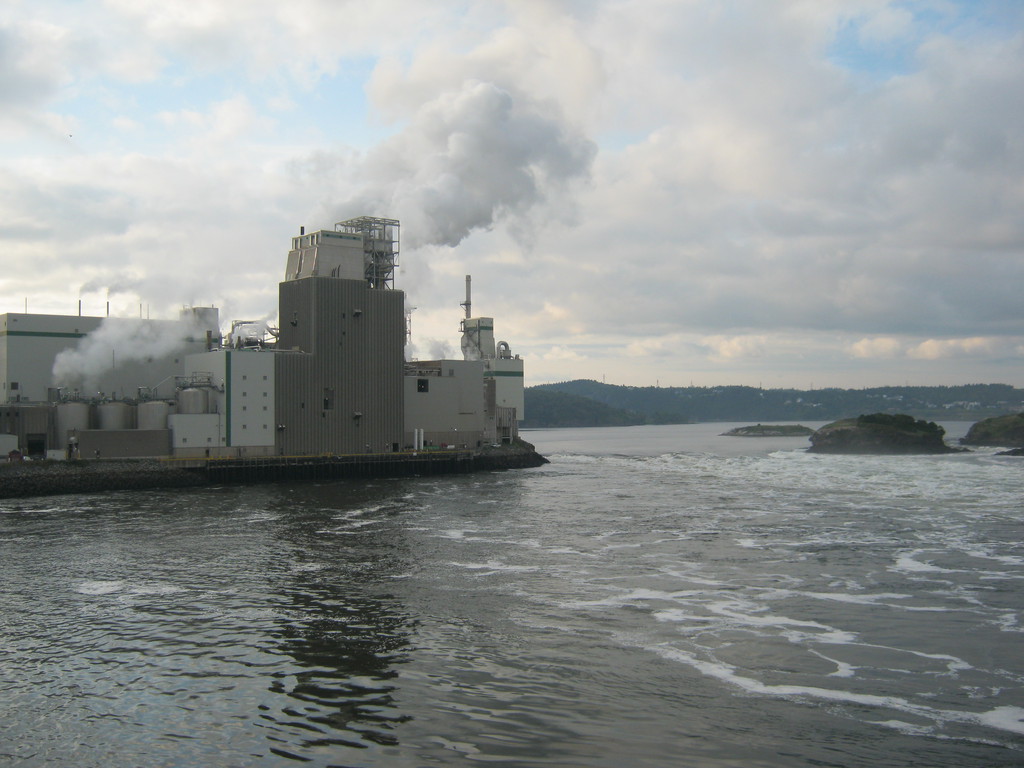
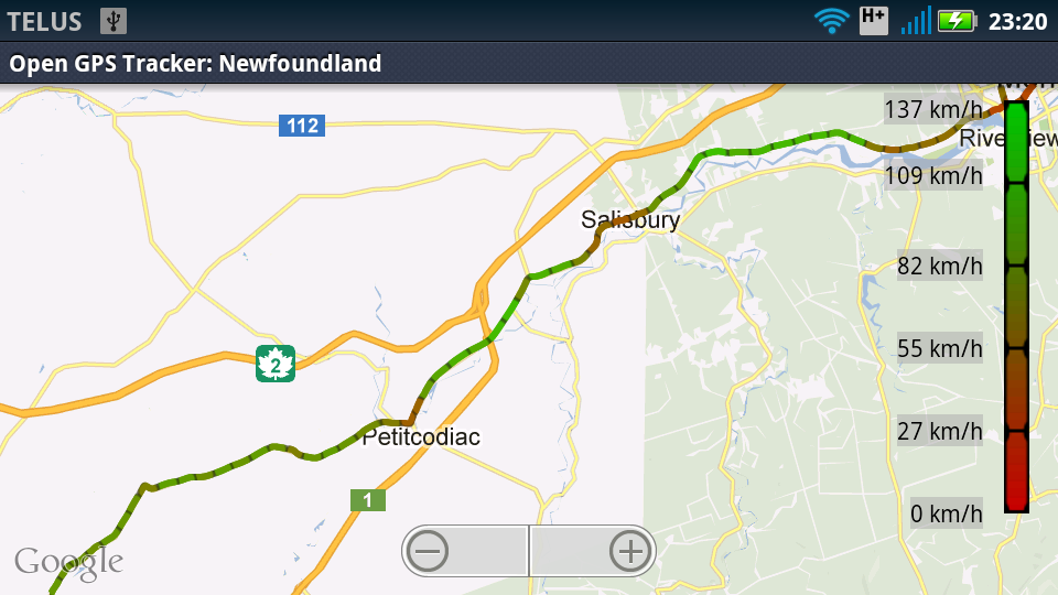
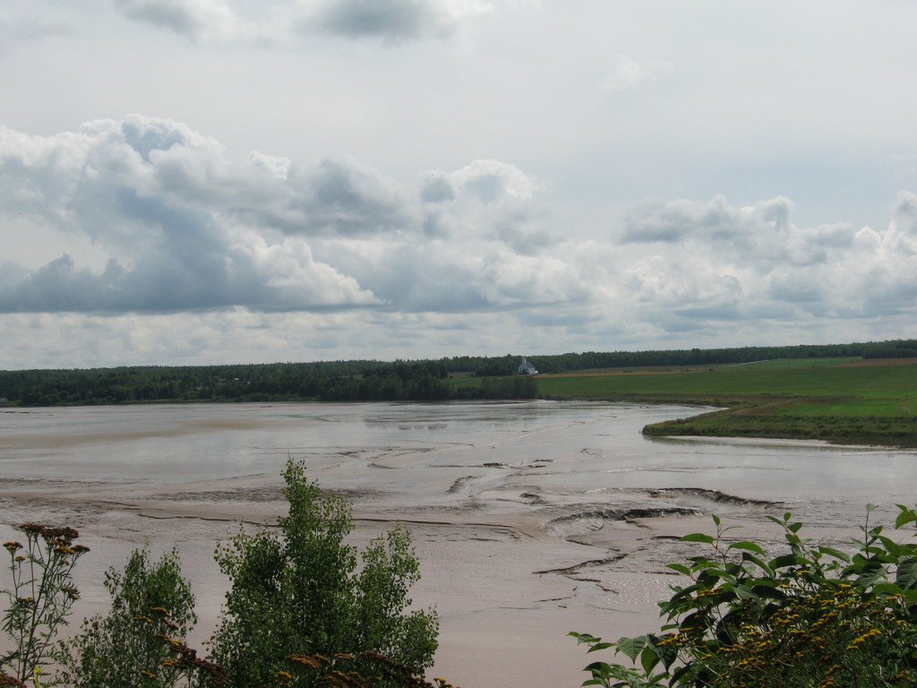
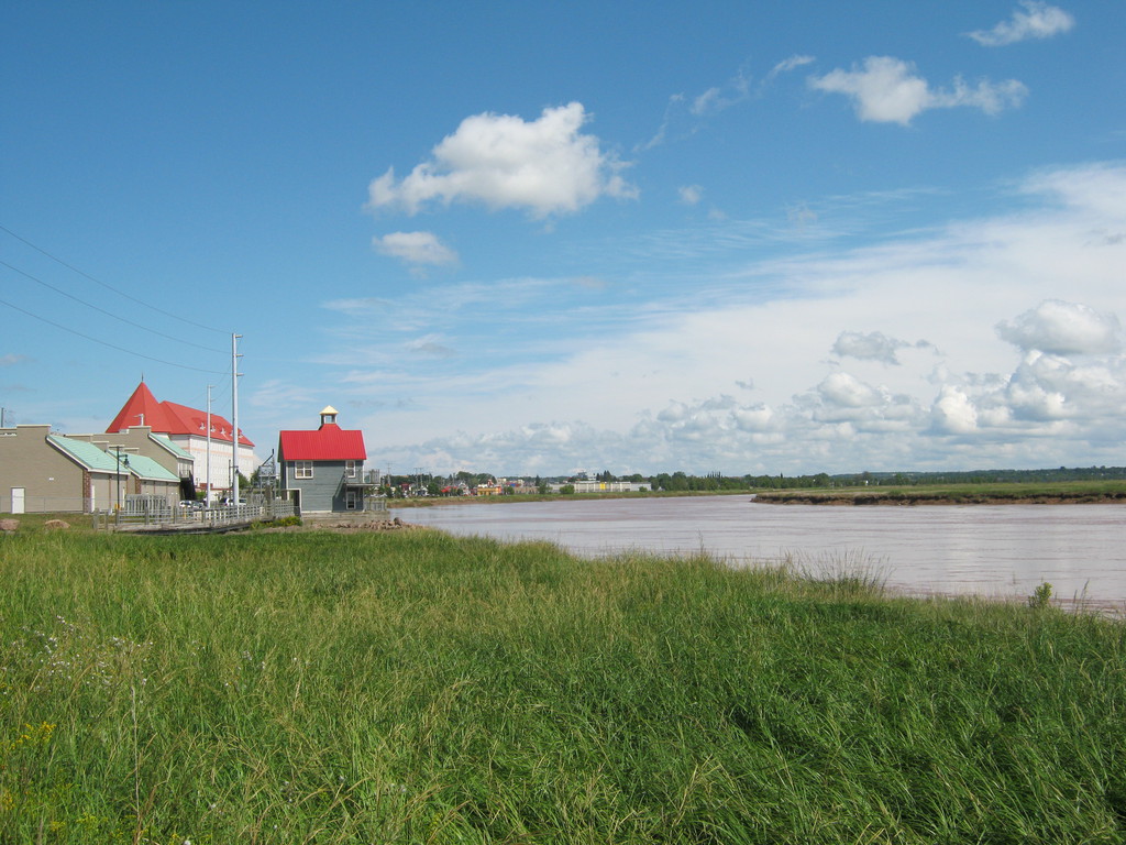
Petitcodiac river, getting close to Moncton. I'm not sure if it
floods all the way sometimes, it looks pretty strange with all
that sand in the middle of it:
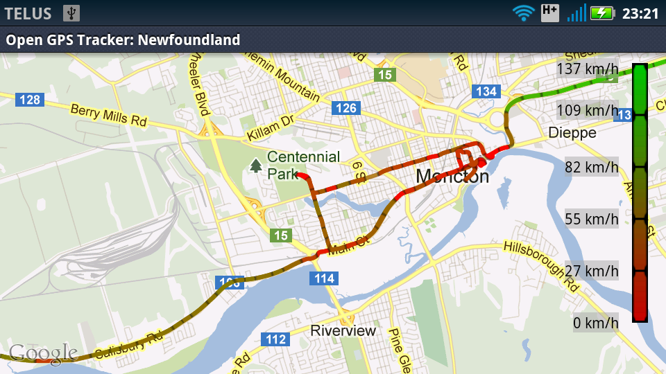
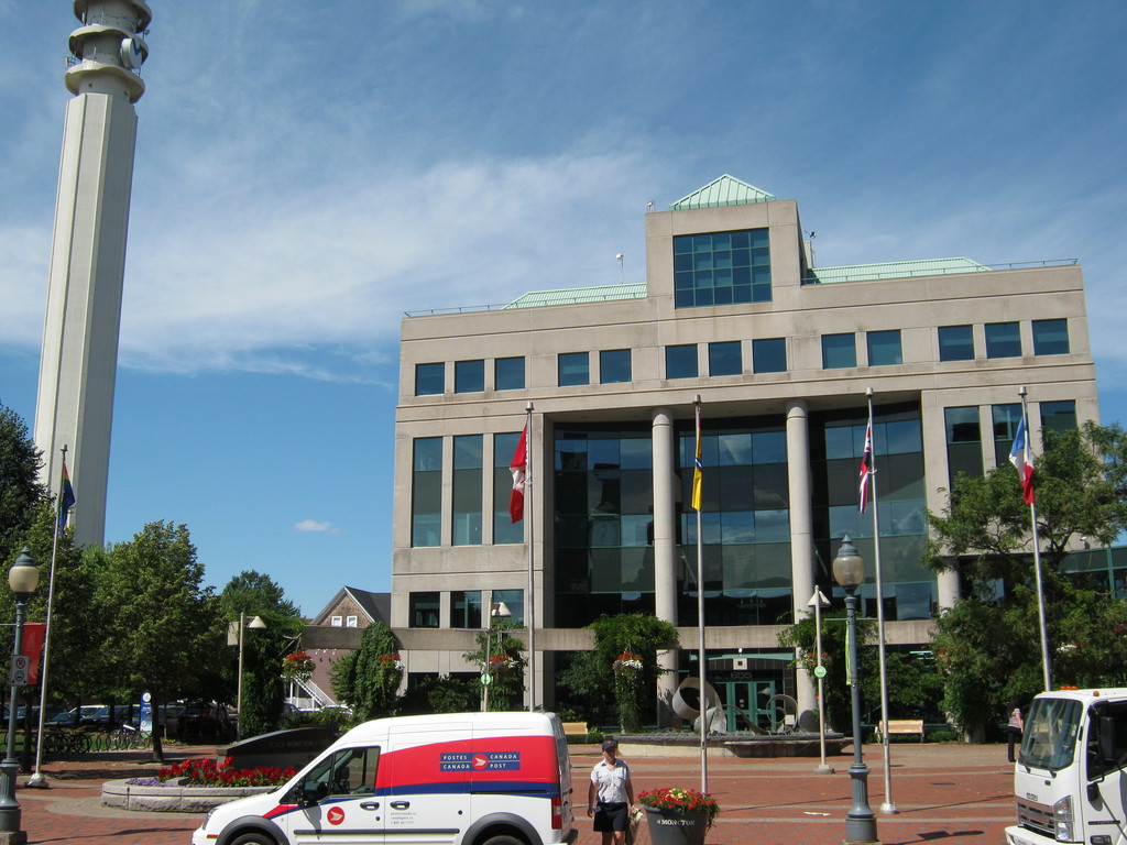
Moncton is horrible with parking. if you're planning to visit,
pay attention: this building in the photo is the tourist
information office, and in front of it is the only place downtown
where tourists can park for free, even though the sign says max 1
hour (I asked inside). Everywhere else it's metered paring, not
free even for motorcycles.
The parking thing pissed me off quite a bit, I walked around a
little:
Stopping also at an artisan workshop. Then went to Centennial
park where I was told I would find one of the neatest things in
the city - TreeGo. It looked really cool indeed, you get to climb
an obstacle course built in tree crowns. But it takes 3-4 hours to
do including the training, and it might require a reservation, so
I didn't stay, maybe next time.
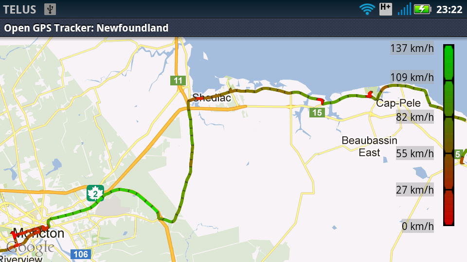
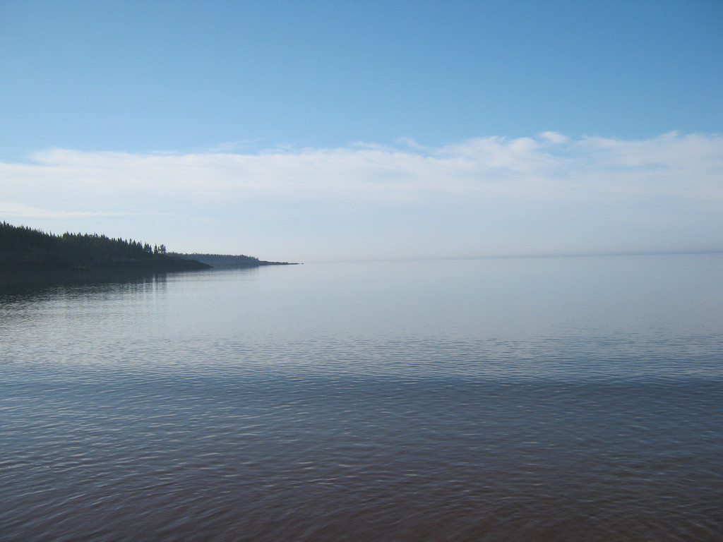
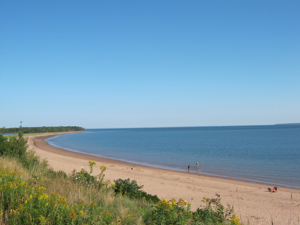
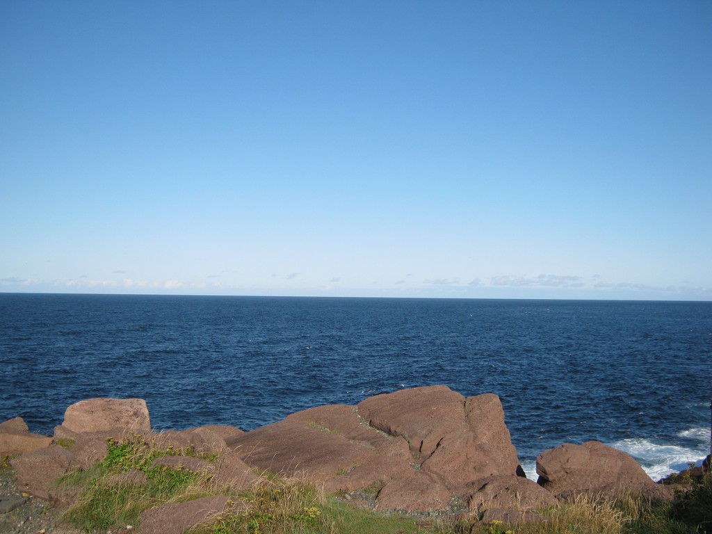
Park on the beach again, of course, I wanted to see as much ocean
as possible. This beach is pretty decent. No Bay of Fundy thus no
extreme tides.


Notice the trees, they are normal size :) I didn't think I'd go
far enough north to see no real trees, but it's pretty close. No
big trees at all, the biggest ones are pines maybe six meters
tall.
Didn't mind the lack of privacy, actually I asked for something
closer to the beach rather than closer to the trees. Mostly RVs in
this park.
Had dinner at a bed and breakfast somewhere off highway 955 close
to the PEI bridge - it was nice. At this point I started to wonder
whether anywhere in the maritimes seafood would get cheaper. It
never did. Some of it (not all) is indeed very fresh, but the same
price as anywhere else. Disappointing, I was hoping to be getting
stuffed with seafood in the maritimes.

I wanted to see PEI, go on this really long bridge, but the 28$
toll really turned me off. It's not like they have a lot to see in
PEI, the bridge was the main attraction. The toll is charged on
the way back, so if the way is not divided I could have in theory
turned back before reaching the toll booth, but I didn't feel
adventurous enough:

The Marine Atlantic screw-up changed my departure time tomorrow
from 22:30 to 18:00, which means I had to be at the port at 16:00.
This forced me to replan my route for the day - and instead of
going to the Kejimkujik National Park I decided to stay in one of
the provincial or national parks near Halifax. I was at least
going to see Halifax, and everyone's recommendation - Peggy's
Cove.
So I rode all the way to Halifax, mostly on bigger highways, I
felt in a hurry. Got really annoyed that both the new and the old
bridge to get across the harbour in Halifax require tolls, though
the old one wasn't too expensive. I haven't asked what the new
bridge's toll was.
Same problem with parking in Halifax, plus absolutely ridiculous
one-way-street downtown, people must have thought I was showing
off driving round and round and round. Spent a bit of time on the
harbour, this is the only thing I thought worth photographing.
There was the Titanic museum which I may have gone into if I
wasn't worried sick about parking, so I didn't.
Next stop - Peggy's Cove. At least 3 people I know told me I
should go there. Maybe my expectations were worked up too much,
but honestly - I didn't see the point at all. It's pretty sure,
and sort of a little bit unique, but I don't recommend the long
detour from Halifax just to see it:
But in there was another visitors' centre where I took the provincial parks booklet and read on a bench. Turns out none of the parks near Halifax where I planned to stay allow camping! And I was going to be picky, go to one closer to the ocean, but no.
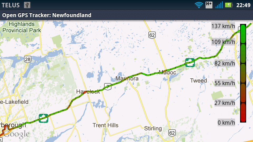
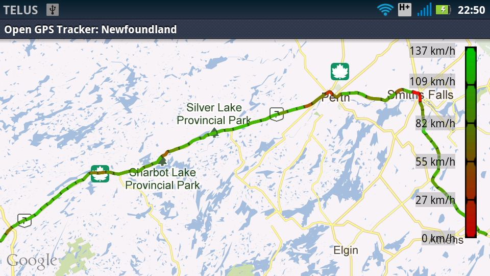
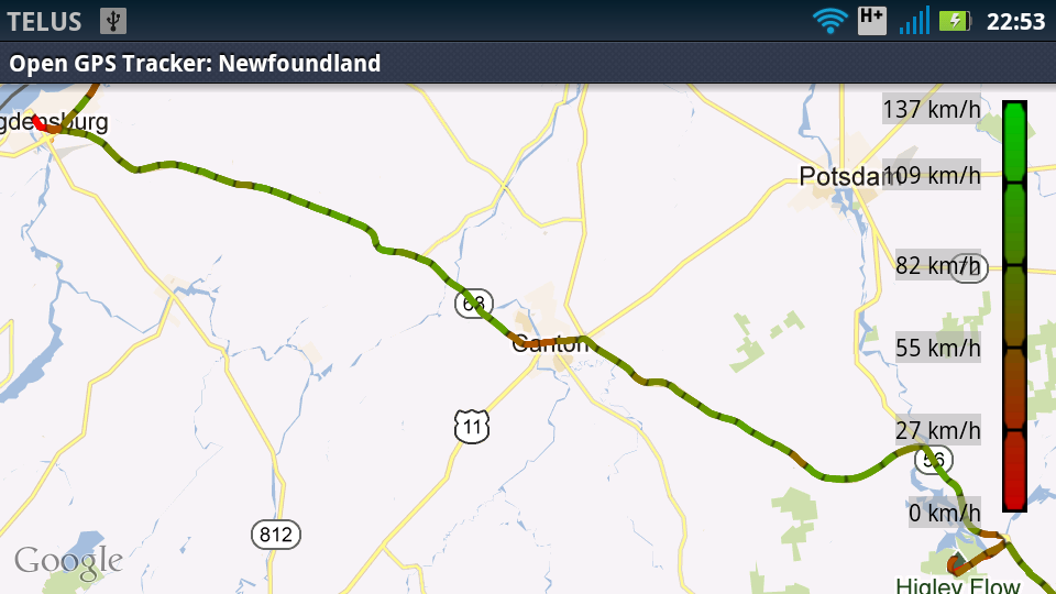
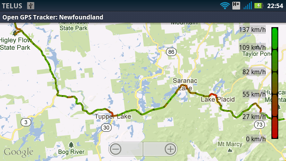
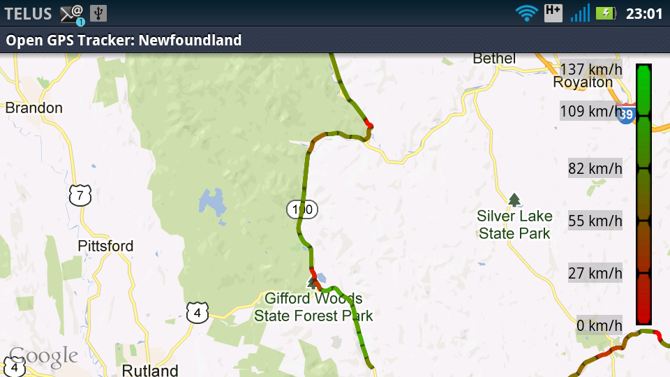
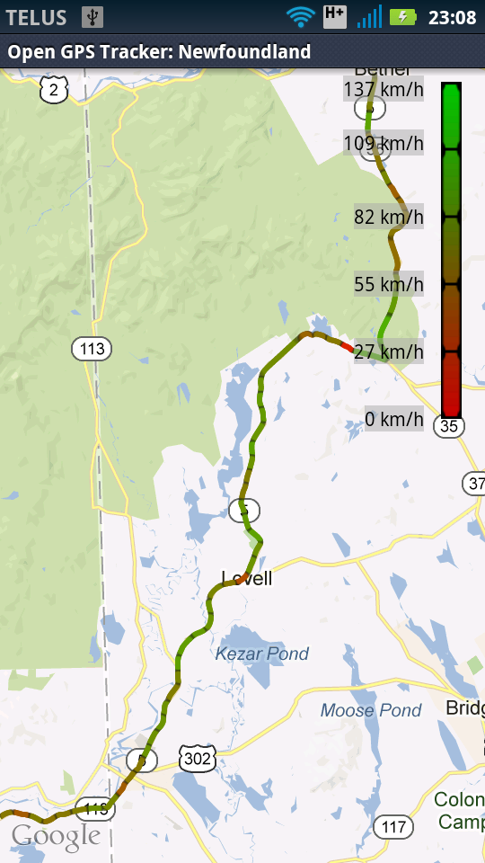
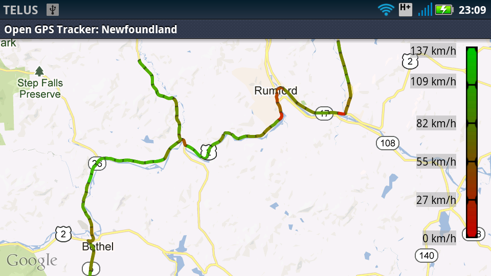
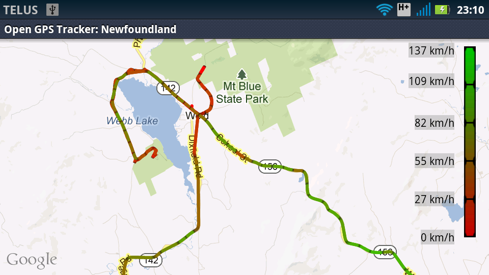
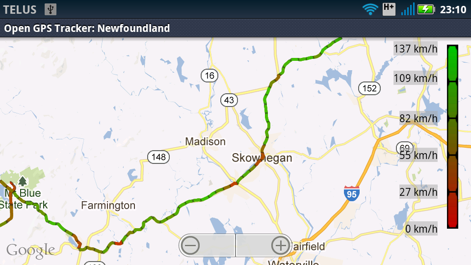
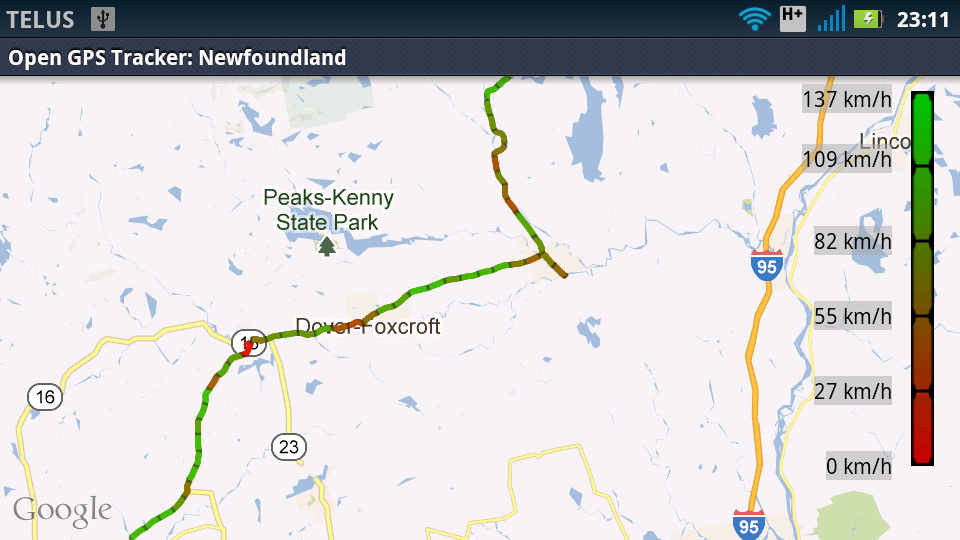
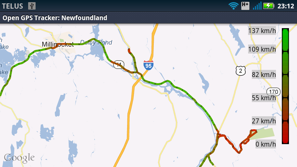
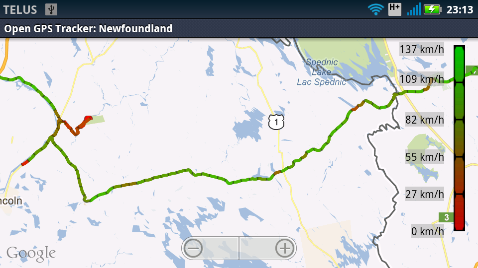
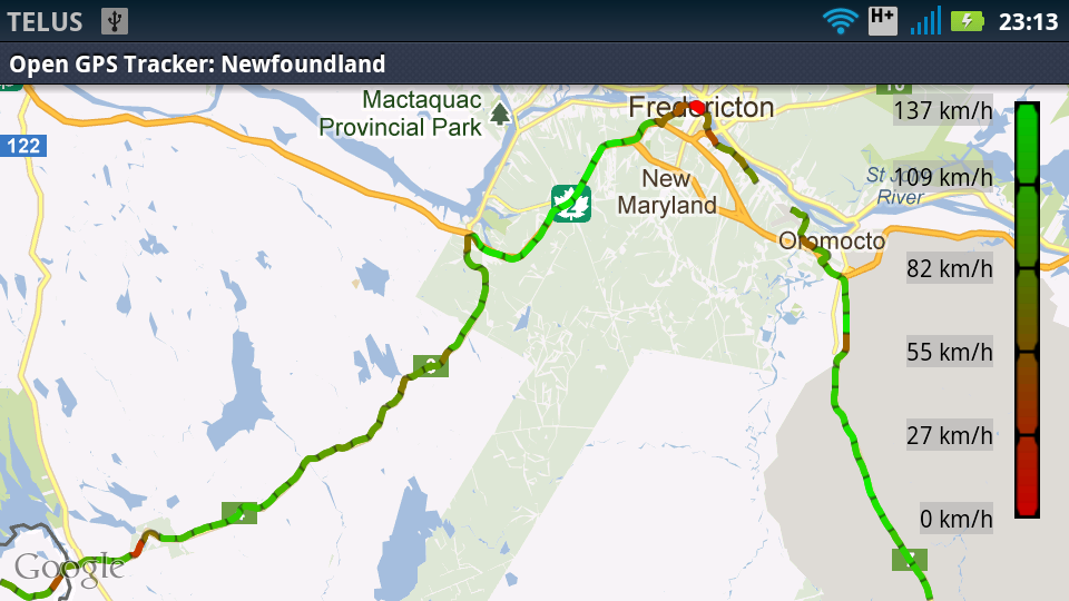
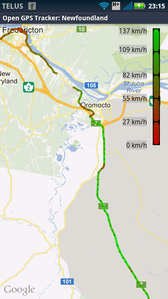
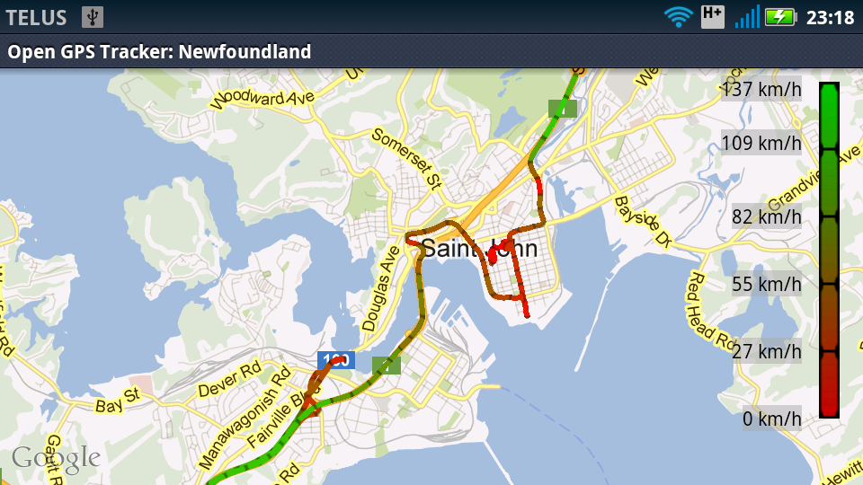
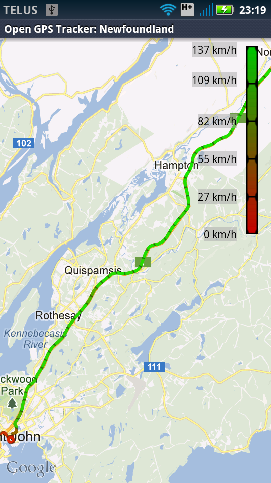
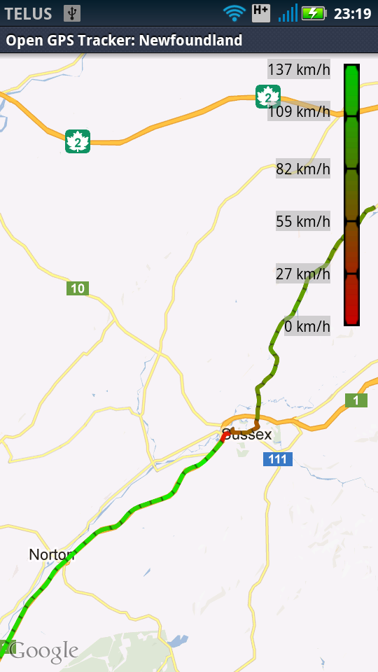
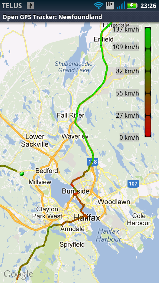
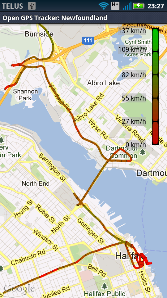
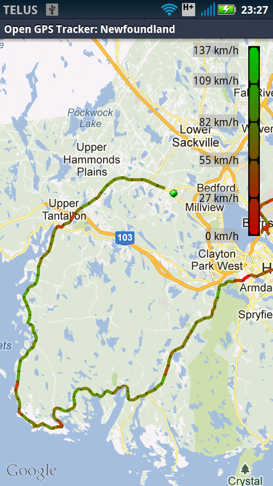
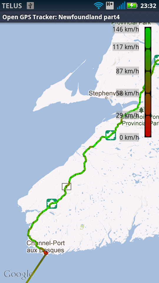
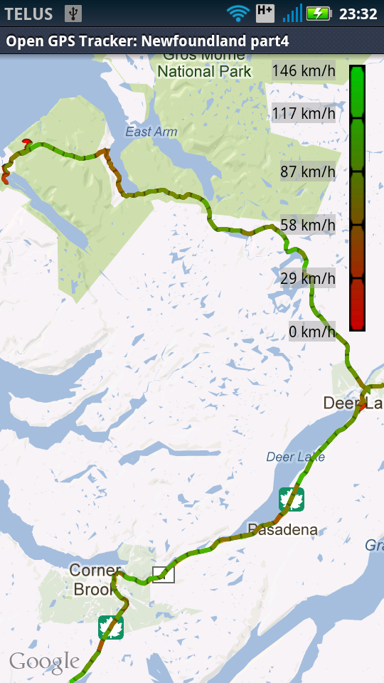
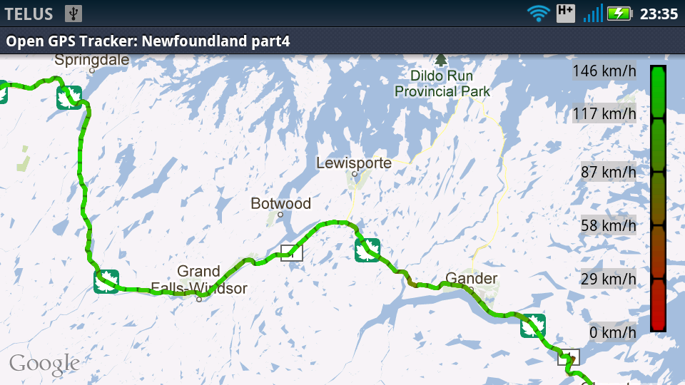
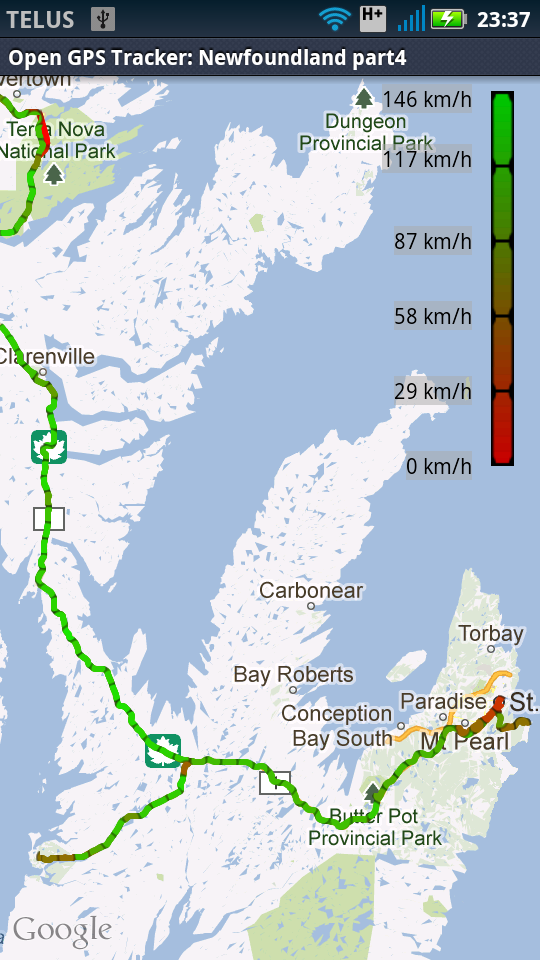
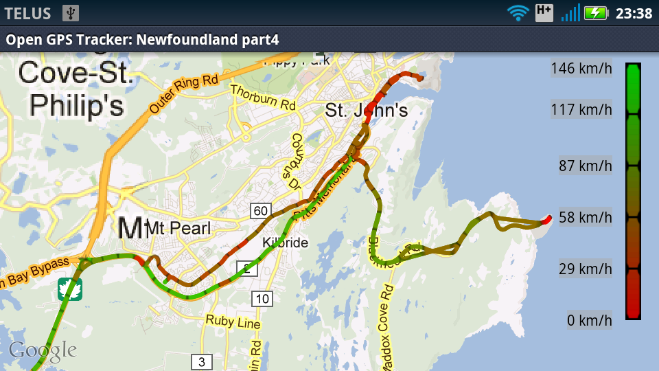
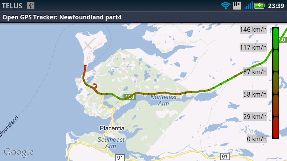
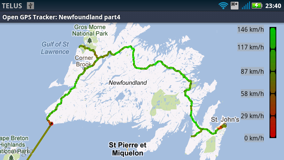
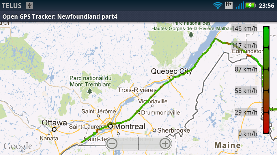
At some point today I lost my notebook (I wrote that down in my phone :)). Bah!Maps: As you can see from the map screenshots from day 7 the GPS stopped working some place around Halifax so there are no maps for this day.
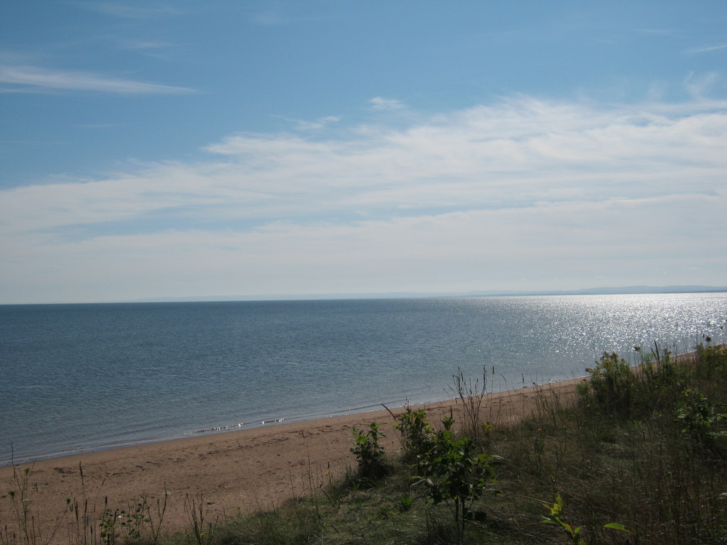
The new plan worked, and I had a whole morning to spend on the
beach. This beach is beautiful, excellent sand and nice swimming
water:
A bit later it's been suggested that I should have visited the
Cape Breton Highlands national park - and I probably should have,
I haven't even noticed it before.
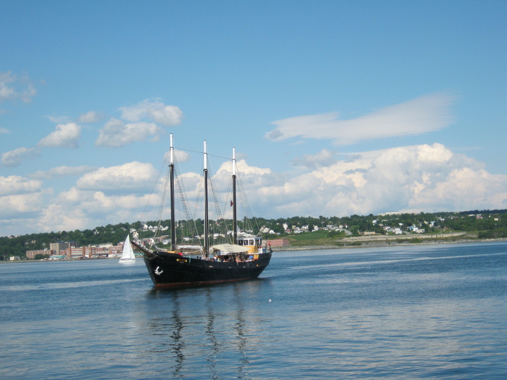
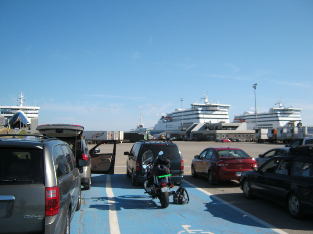
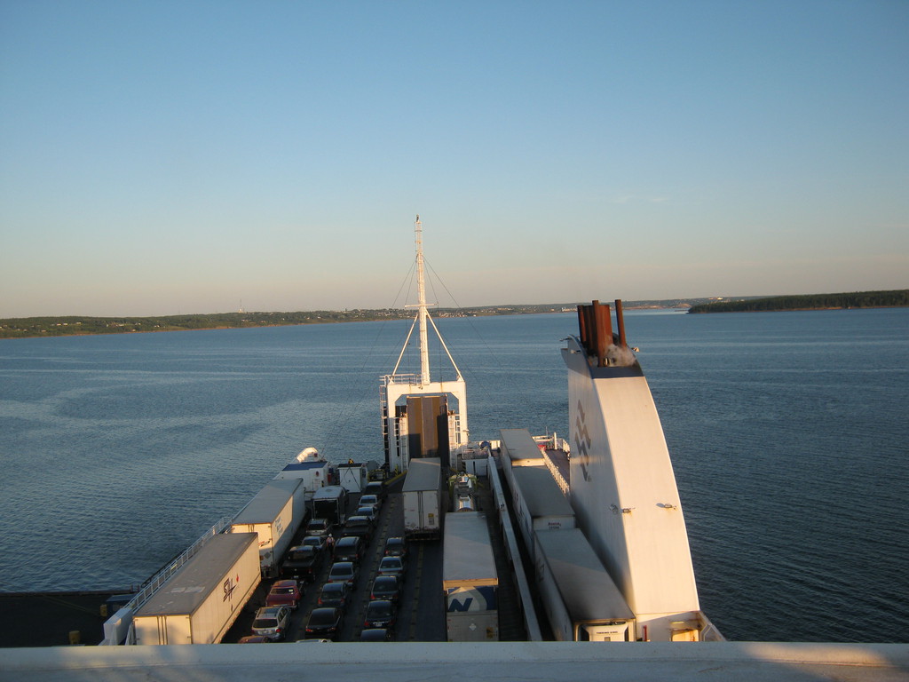
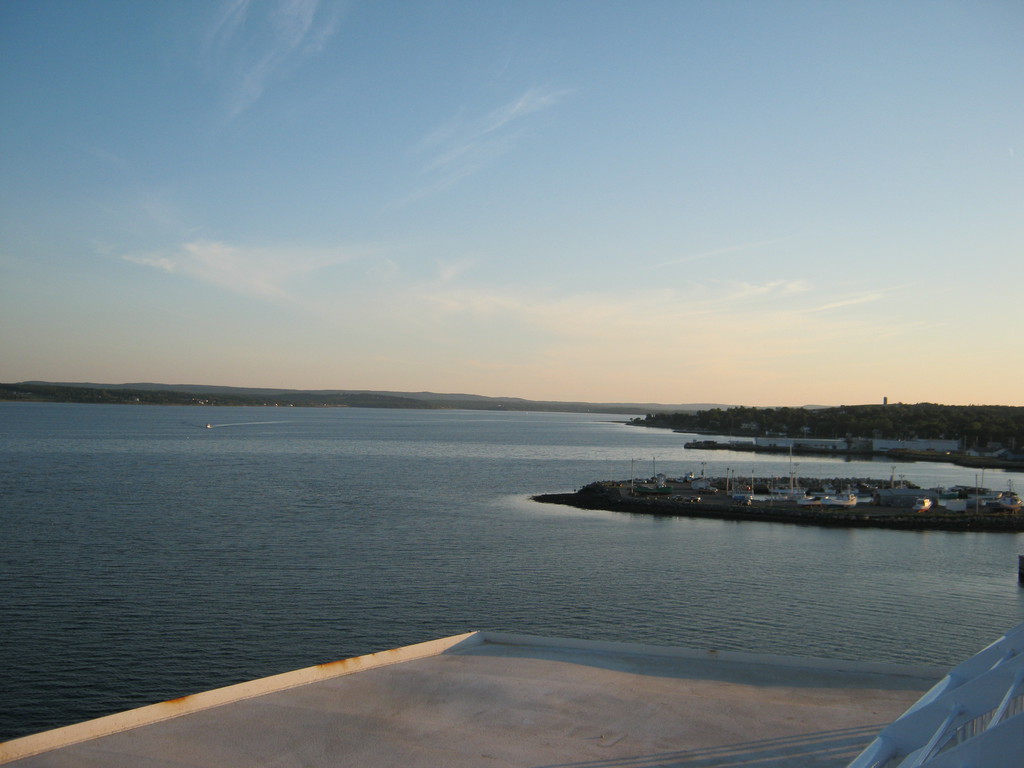
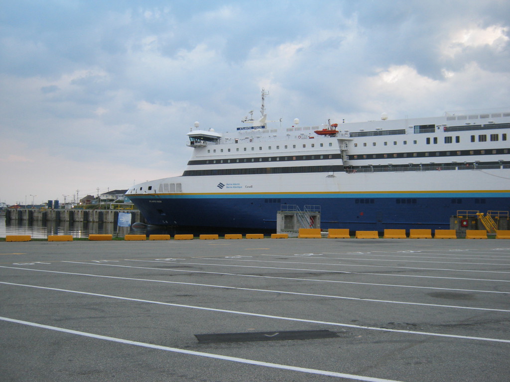
These are the ferries in North Sydney, mine is the one in the
middle. It's hard to see in the photos, but there are a lot of
cars and trucks that get loaded onto there.
I got put in the blue line, guess they don't think much of
motorcycles :)
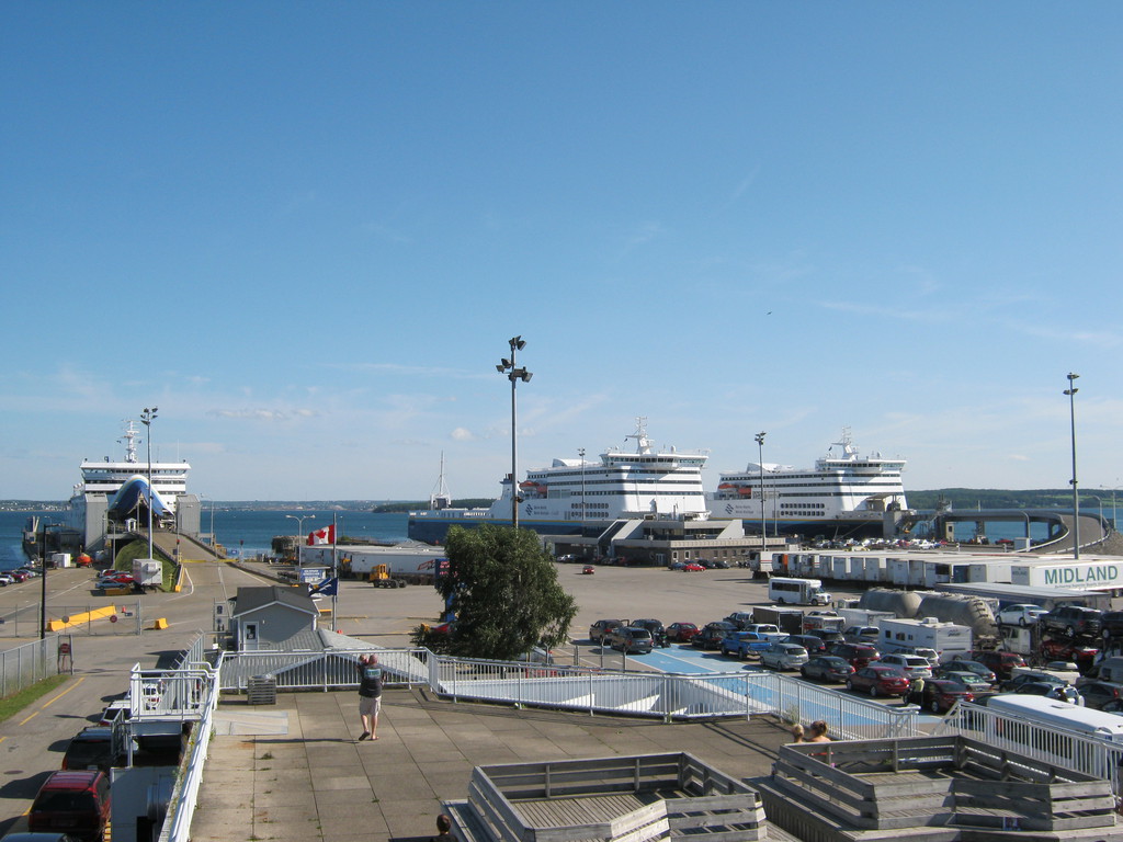
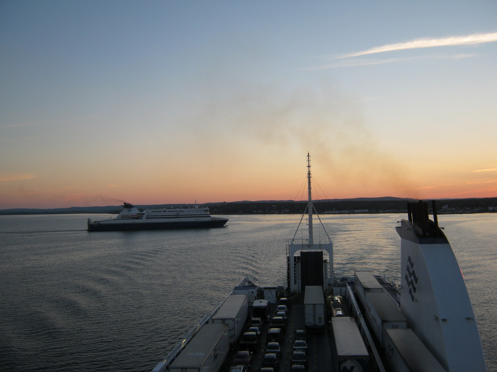
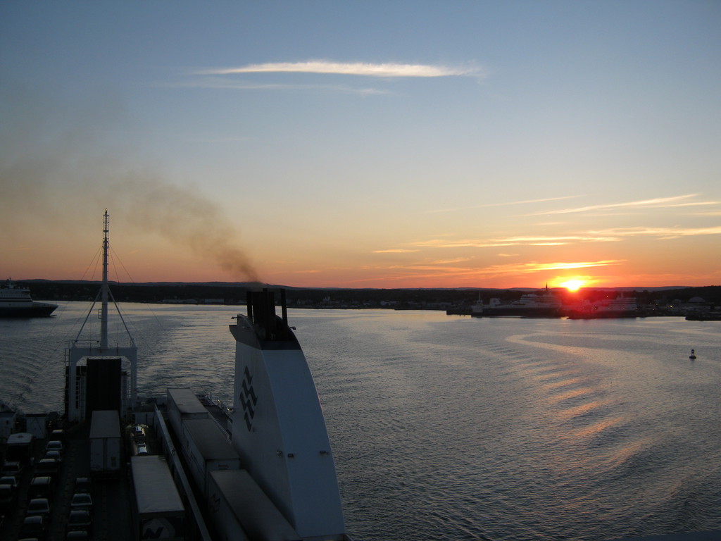
It took a good 3 hours to get loaded on, but finally we were off.
And as we were leaving - another boat pulled in to take our place.
I don't know if it was the lack of waves, but I didn't even get
close to being sea sick. I suspected that in a big boat like that
you can't really feel it, and on this trip it seemed my suspicions
were confirmed.
There were loads of empty seats - I guess most of the boat is for
cars and trucks. I should have slept more, but I was too excited
and there was the discovery channel to watch on TV.
When I started planning I was going to go from Port aux Basques
to Terra Nova in one day, figuring that there'll be nothing to see
on the transcanada, but later I changed my mind, no point in
rushing. The new plan was to also stay overnight at Gros Morne
(turned out to be a great decision).
Arriving at Port aux Basques at about 4AM:


Several people already mentioned I should not ride in
Newfoundland in the dark because they have a Moose infestation. So
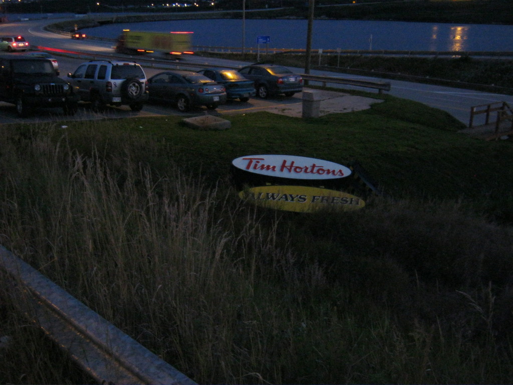
I decided to stay at this Tim Horton's until daylight. Nice sign
in the ditch :)
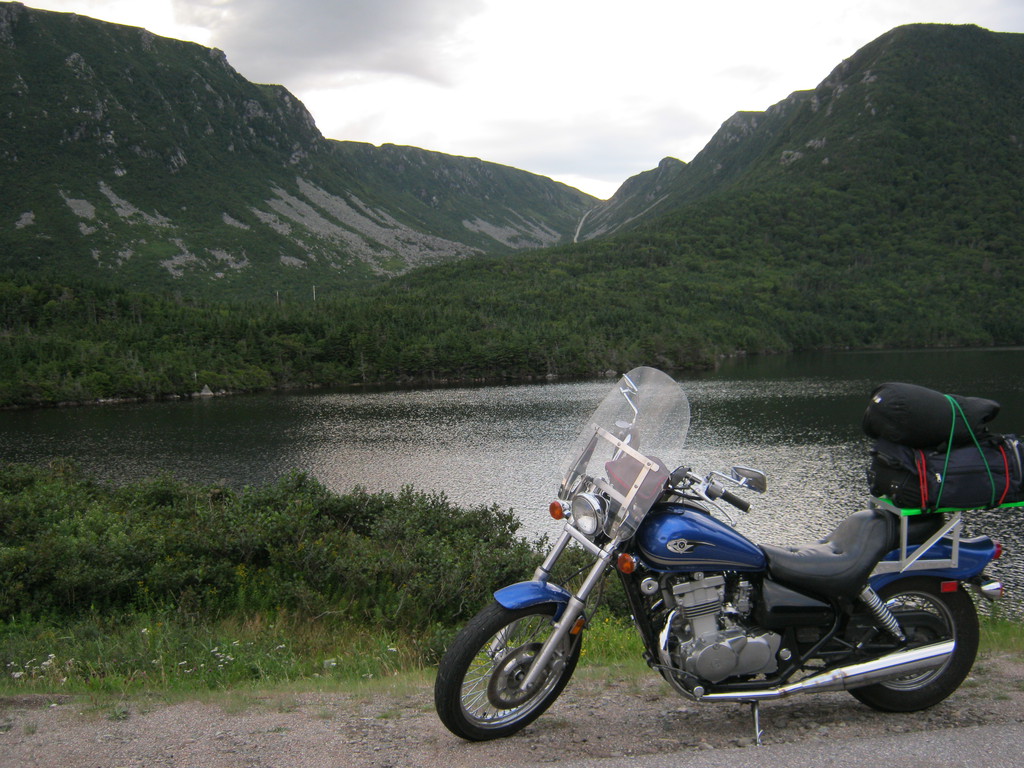
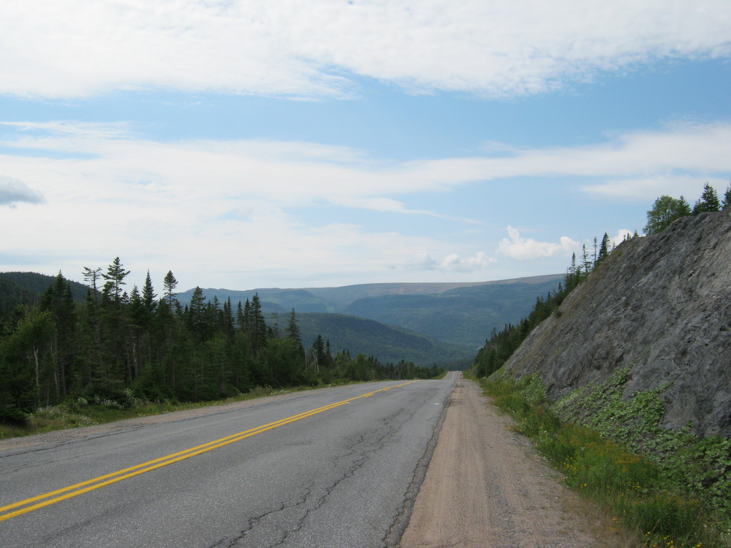
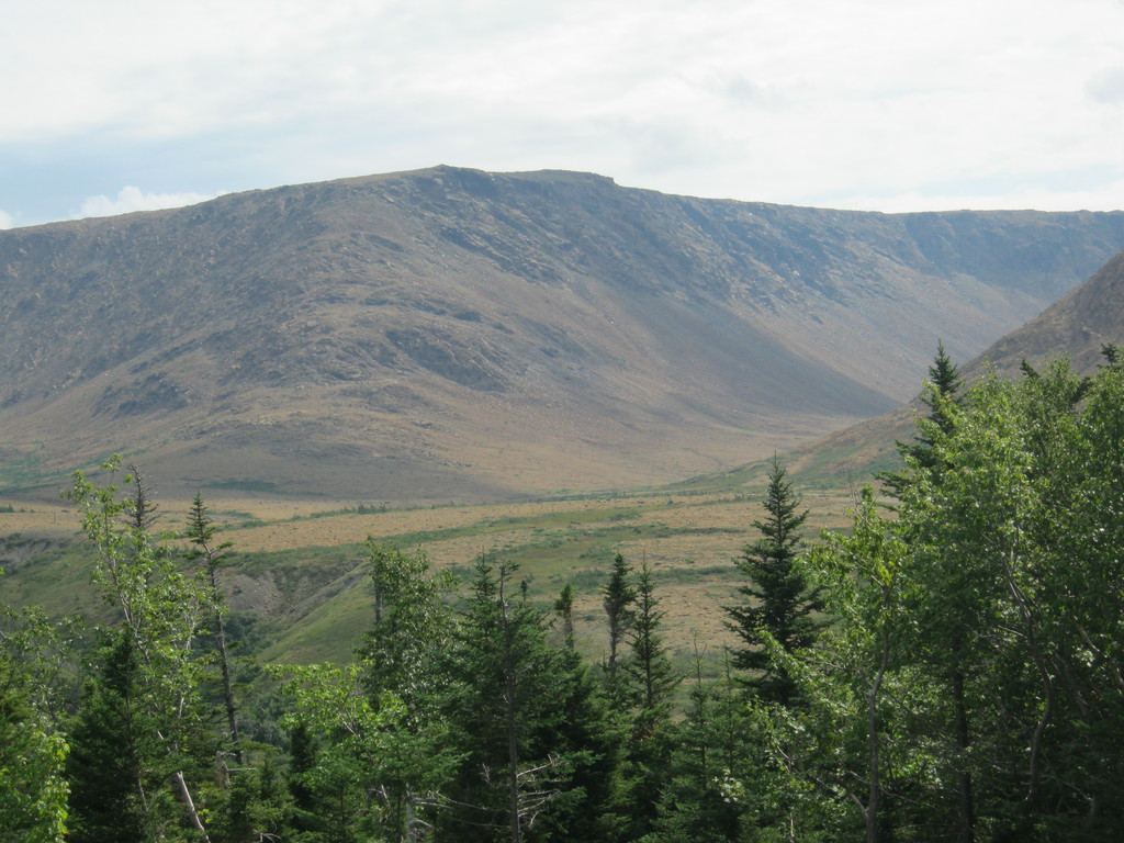
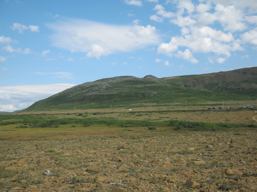
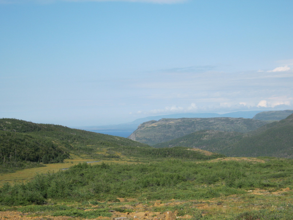
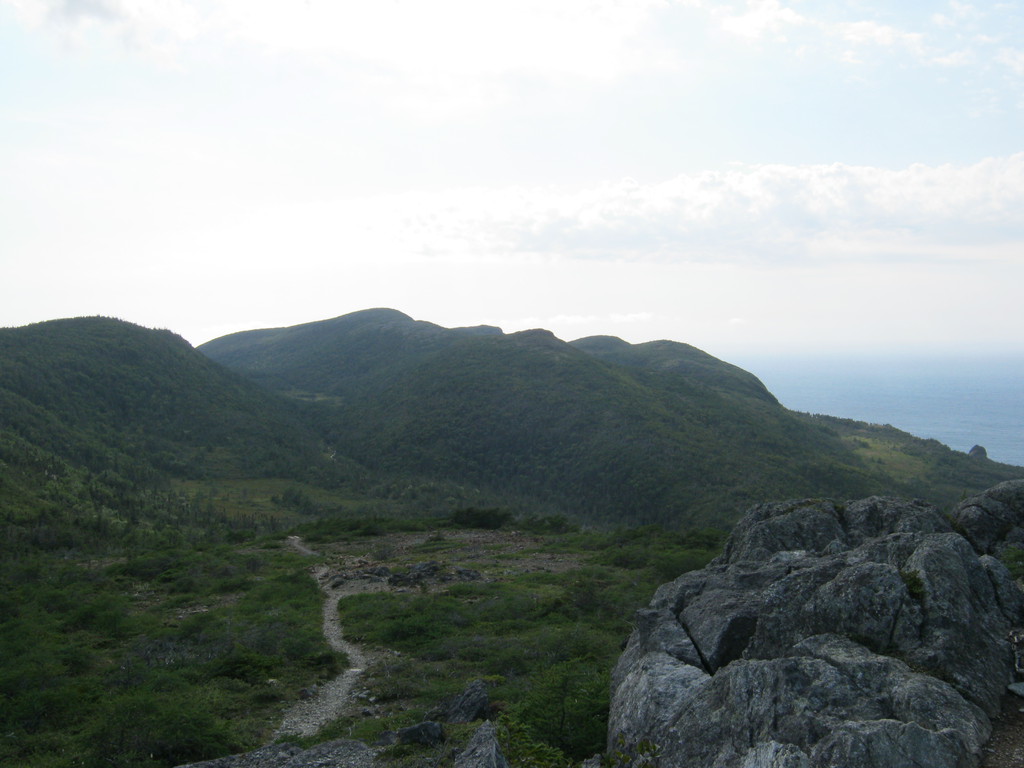
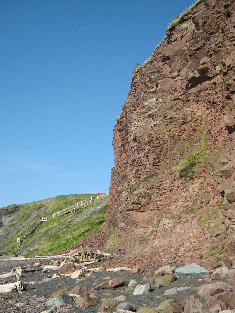
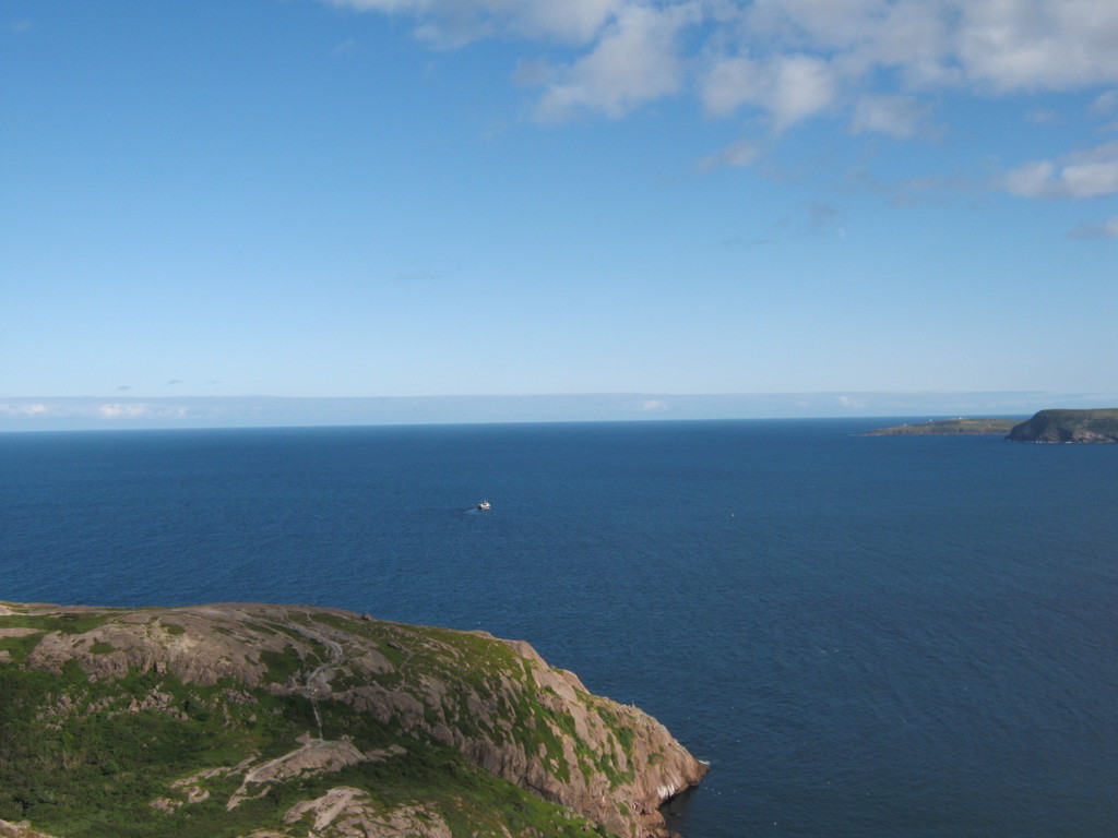
Newfoundland has mountains! Quite tall too, and very impressive.
I was so happy to see them after so many plains in Maine and the
rest of the maritimes:
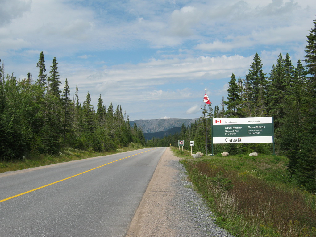
There was, thankfully, a visitor's welcome centre at the park
entrance where the highway splits into 431 and 430. They will give
you a map and advice on where to go, lucky that I stopped there.
Ive seen several of these constructions. I think the purpose is
to serve as a parking spot. Quite bizarre but makes sense given
how far down the houses are from the road, wouldn't want to try a
climb like that in the snow. This particular one I hope is
abandoned, doesn't look too sturdy :)
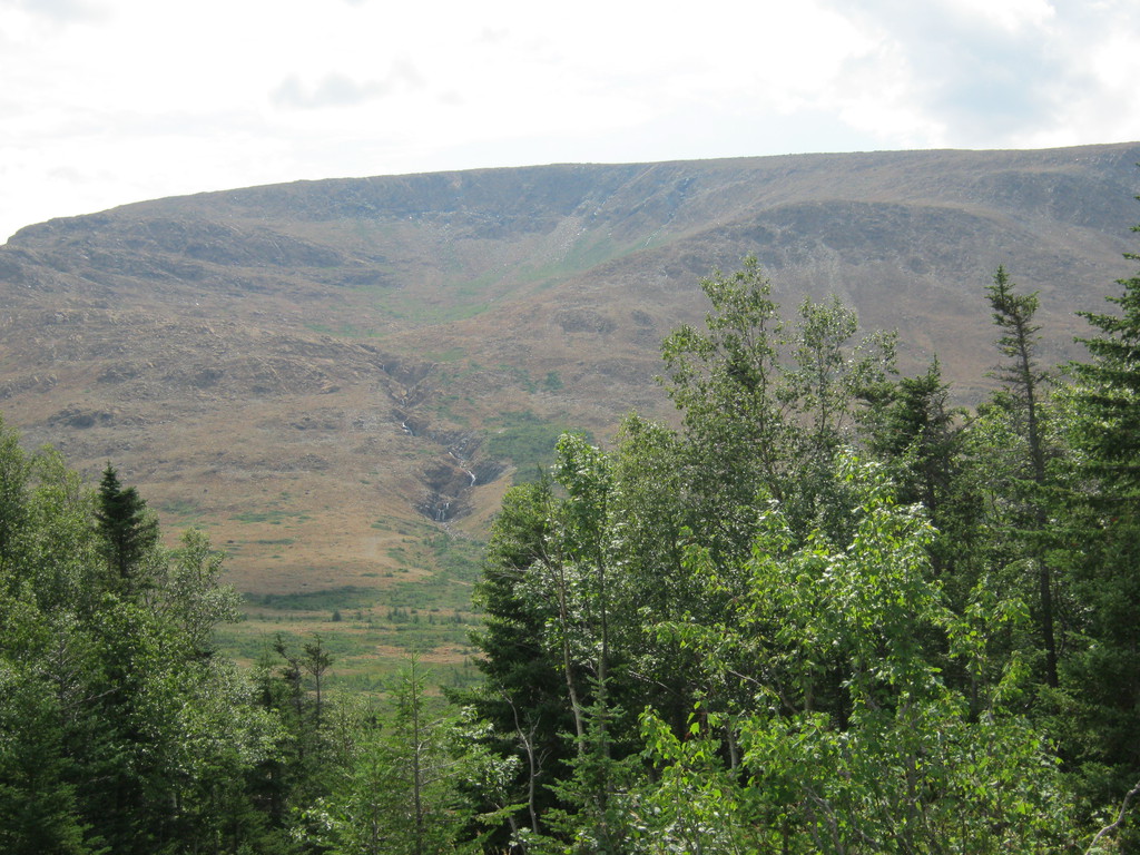
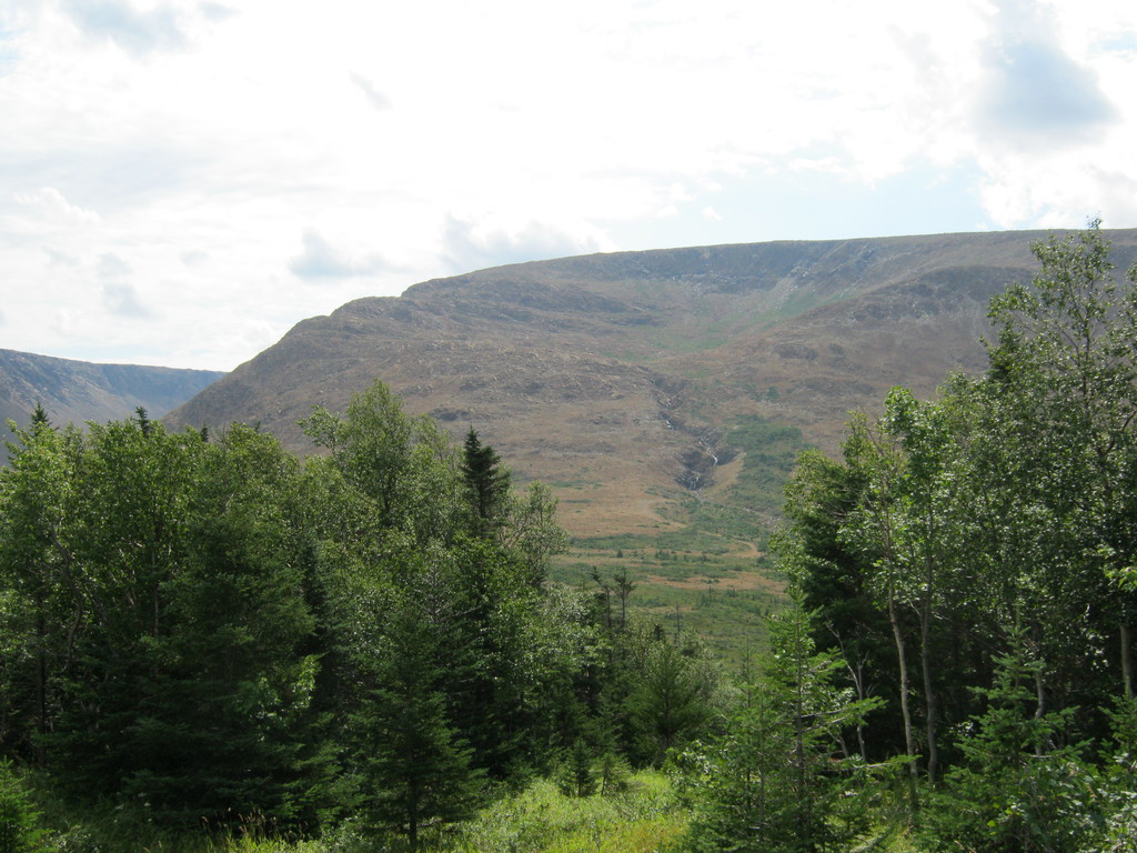
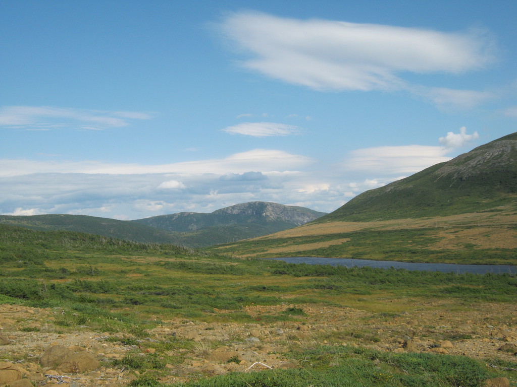
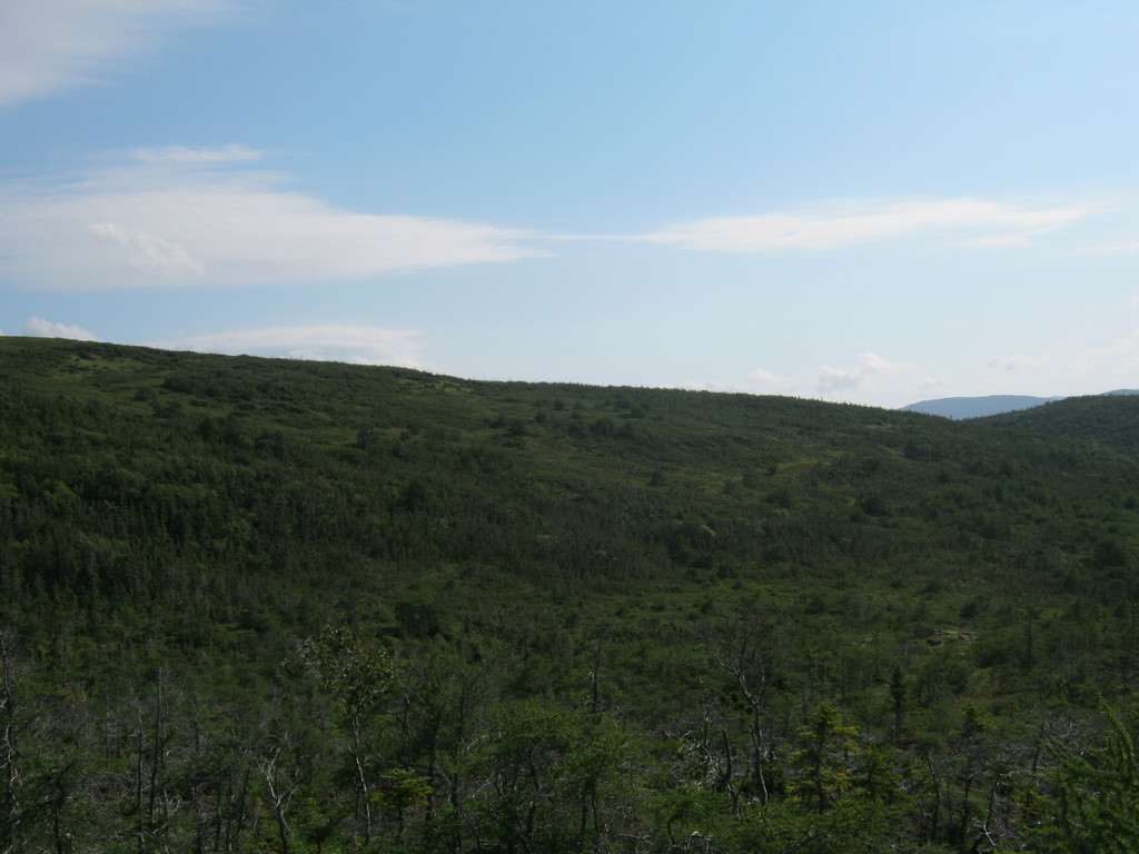
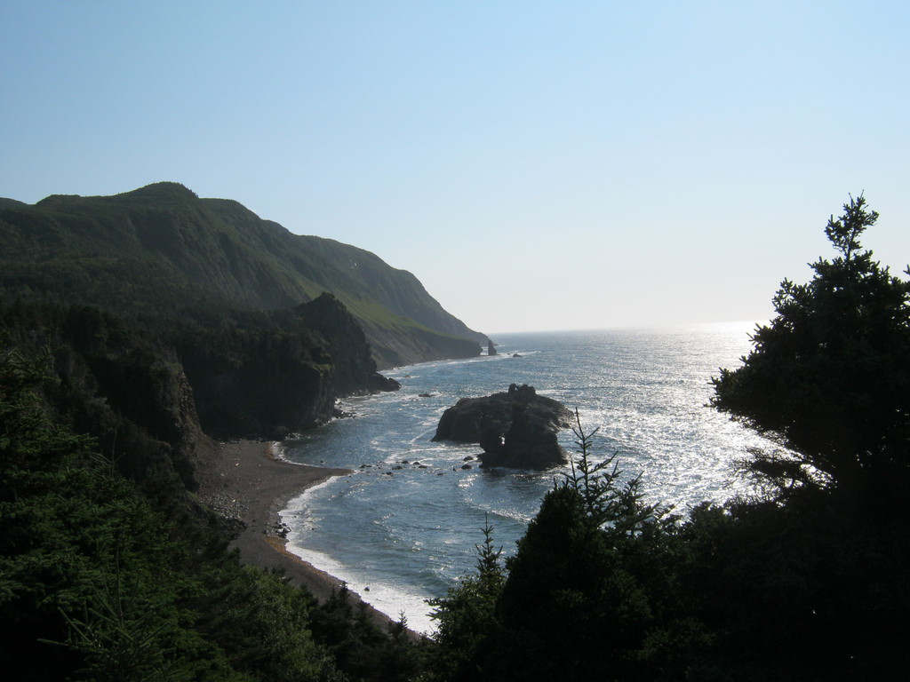
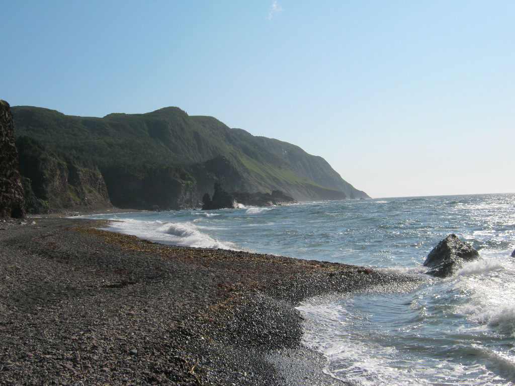
More pretty mountains:
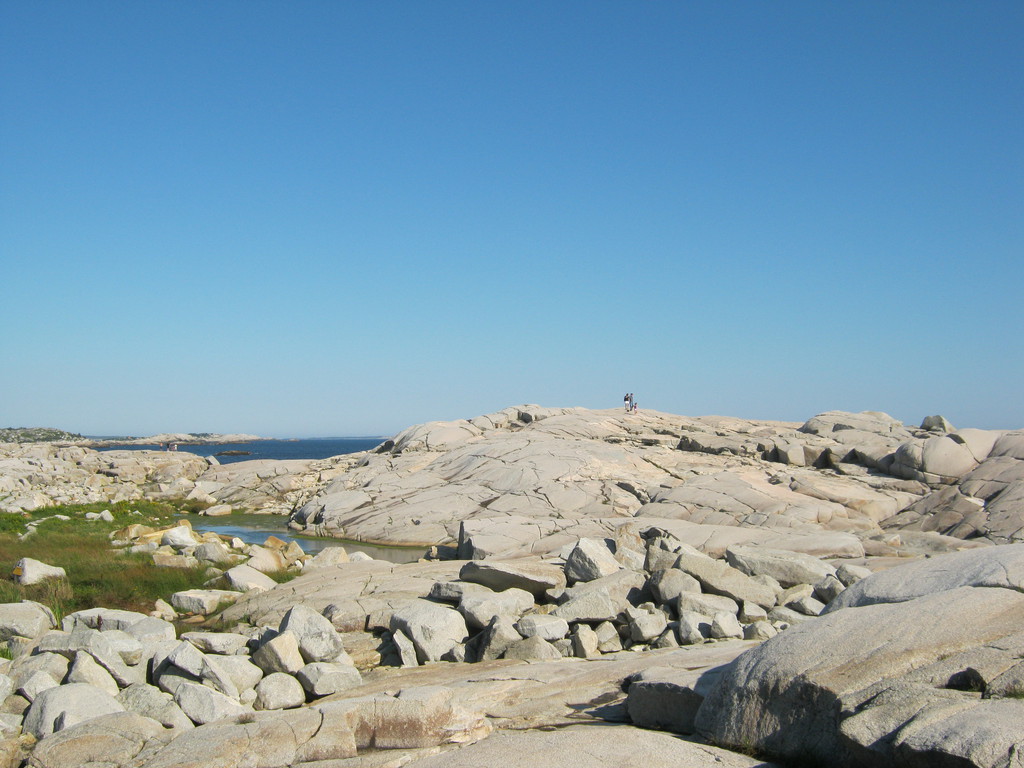
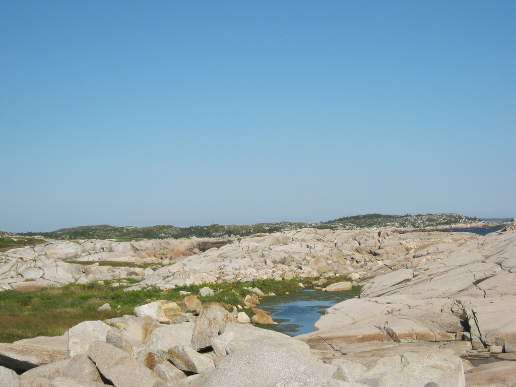
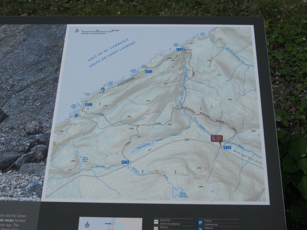
At first I thought I'd stay at the Green Gardens campground, but
for some reason I didn't realize that those are not accessible by
bike from the highway. This is the map at the highway access
point, it's a five kilometer hike to get to the water. Normally
I'd have no trouble backpacking that, but I didn't have a
backpack, my luggage was definitely not hiking-friendly.
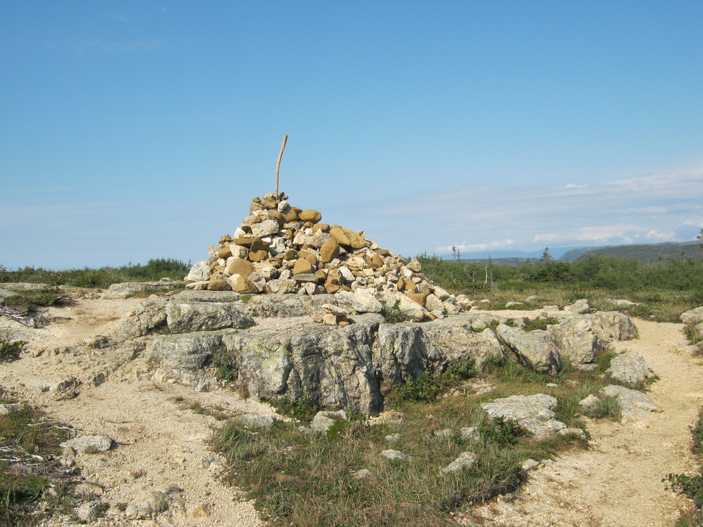
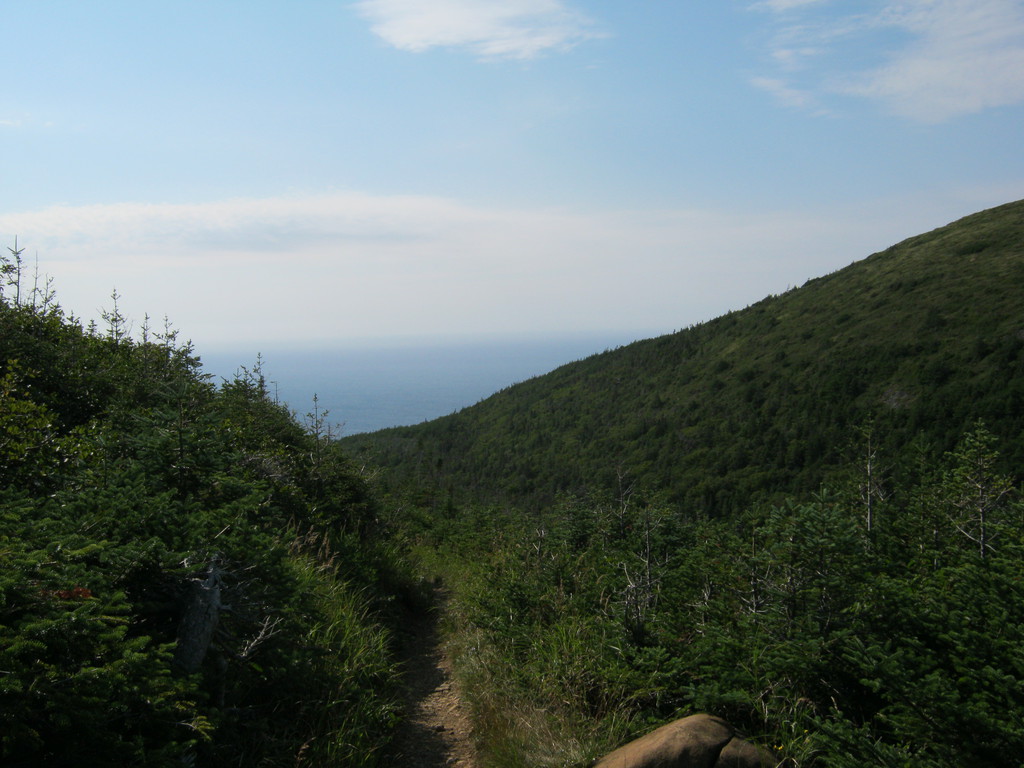
I decided to go on the hike anyway, since it was early. I thought
the map said it's a 250m climb, but actually it said it's a 250m
descent, so climbing from the highway to the cairn that's at the
top is the easy part, then it goes way down.
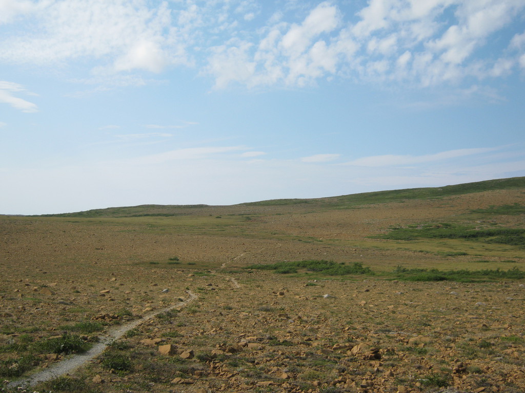
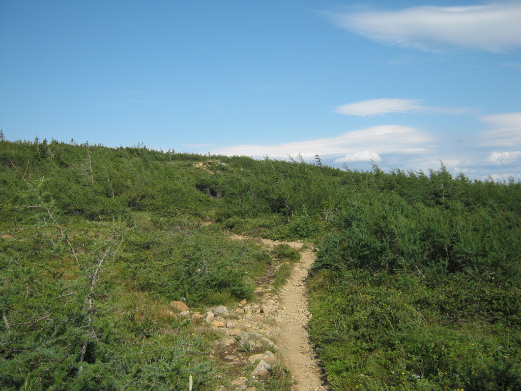
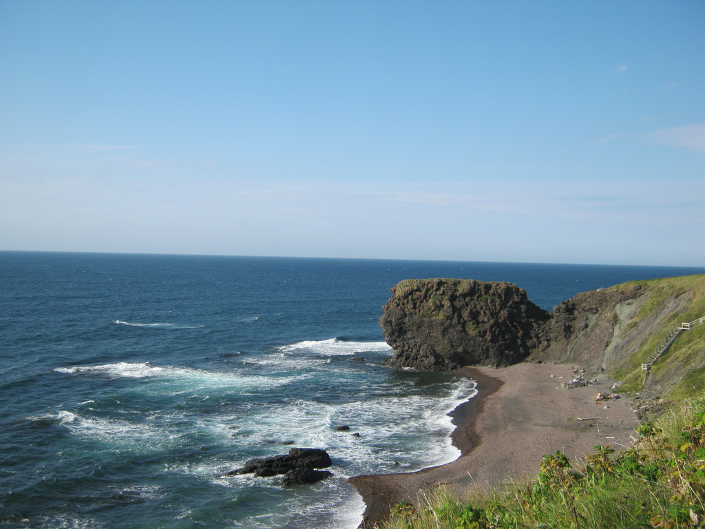
Very pretty:
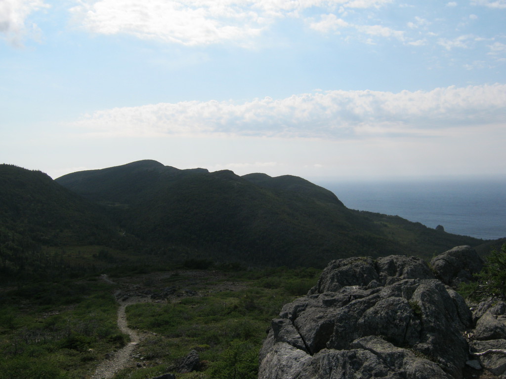
There isn't any campground near the water, what people do is just
set up camp on the grass on top of this hill. The waves looked
really big, and there were lots of rocks, so I didn't brave going
for a swim, just walked along the shore for a bit before turning
back:


On my stroll I was taken aback seeing an enormous dinosaur
skeleton. Actually it turned out to be a moose, I had no idea they
had such huge spines. The poor guy fell off the really, really
tall cliff, didn't have a chance. You can only see the skull and
spine in the photos, but there were also the legs there (still
with skin on them), everything else was gone:
Half way back to the bike I passed a couple with a baby in a kind
of backpack carrier. Those were some cool people and a damn well
behaved two year old! My niece could use some lessons from her.
Turned out they were staying at the same campground I finally
decided on (Trout River), the spot right next to mine actually.


Redneck gas station in Trout River :) Worked well enough though.

When I saw this I knew what was coming, and come down it did. I
got rained on a lot this day, so this is the only photographic
memory of that day:

Before I got to Gander it started pouring really badly. So badly
that even cars were pulling over. I don't know how I manage to
ride in weather like this, but I managed somehow.
Stopped at the Tim Hortons, there was another wet-to-the-bone
person there, a recent highschool graduate hitch-hiking across the
country (from Vancouver). She was on her way back already.
I (almost) hydroplaned all the way to the Tera Nova park, got a
map at the visitor centre, and stayed at the Newman Sound
campground not far from there.
Shockingly it stopped raining just as I started setting up the
tent, so I got to sleep dry. I tried to dry my clothes too by
pulling a rope under one of those roofed picnic areas, but that
didn't work. Problem is: any time after darkness you'll get dew on
your stuff, even if there's no fog. I thought this only happened
in the mornings, but no, it does as soon as it gets dark.
No matter, I got used to starting the day in wet clothes and
drying them on the bike. How long it takes depends on the weather
of course, but generally speaking I don't feel uncomfortably wet
any more after a couple of hours.


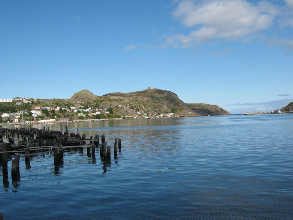
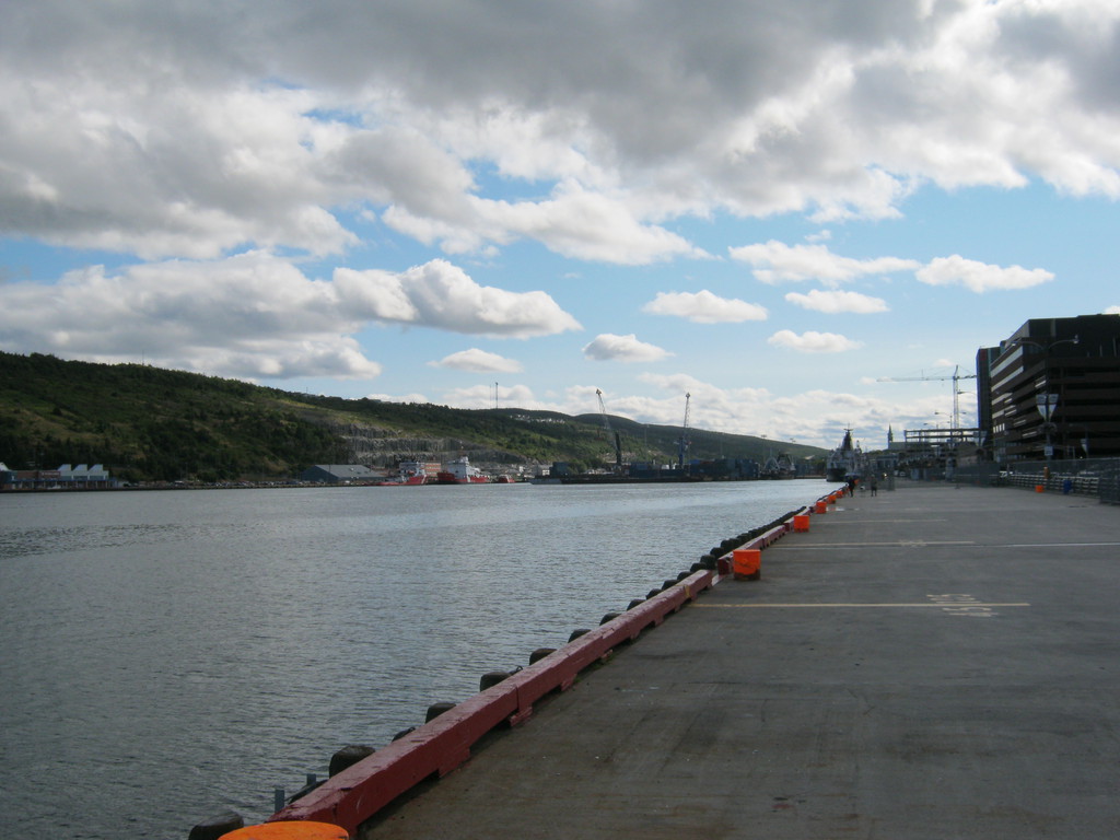
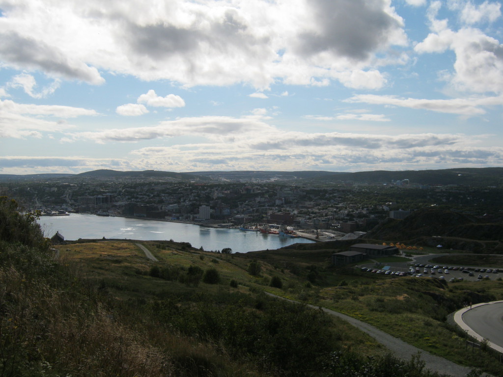
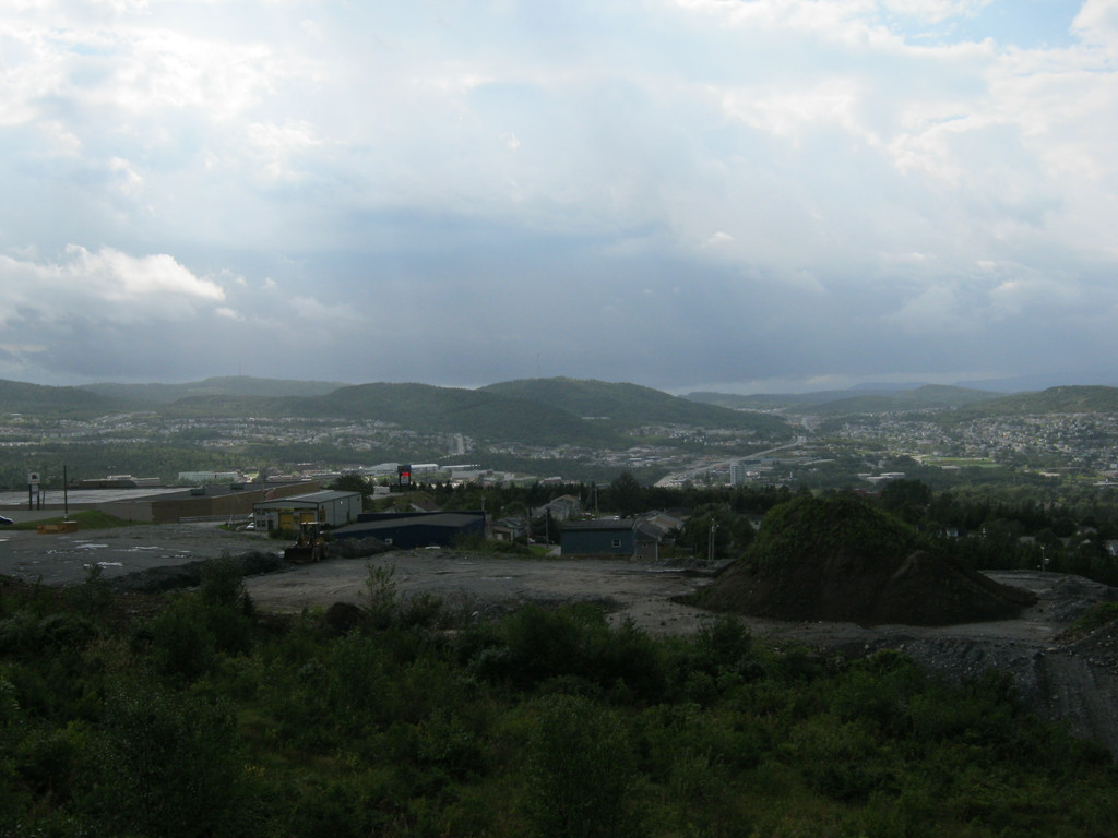
Went into a straight shot to St John's, this is a view of the
Cabot tower from down in the city and a view of the city from up
on that hill:
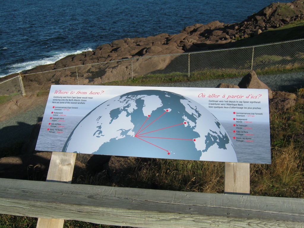
Before heading back home I wanted to make sure that i get to the
eastern-most point in Newfoundland, which is also supposed to be
the eastern-most point in North America, though I'm not convinced
that the island is part of North America.
This is Cape Spear, and of course I had to get down to the actual
eastern-most point, not the almost-eastern-most-point up on this
side of the fence:
I forgot to take my compass with me, and wasn't actually sure
which way is east:
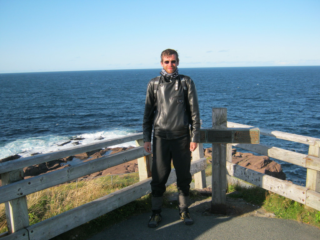
Success! I've made it as far east as I possibly could have. Now I
just have to go all the way north and west and south..
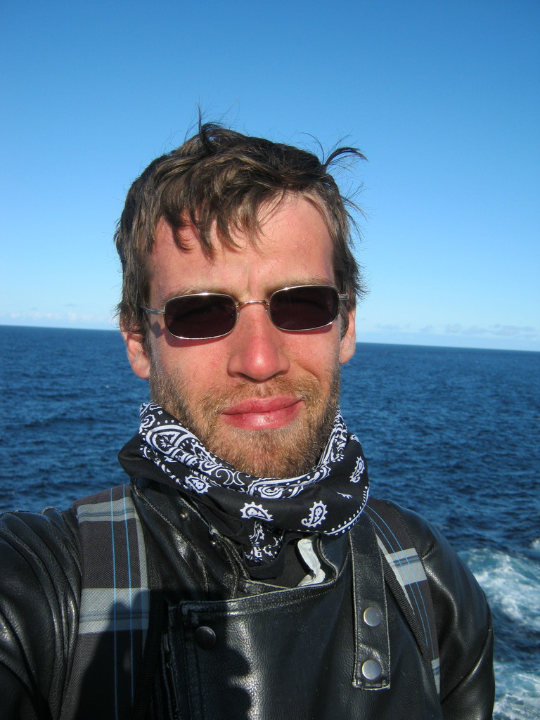
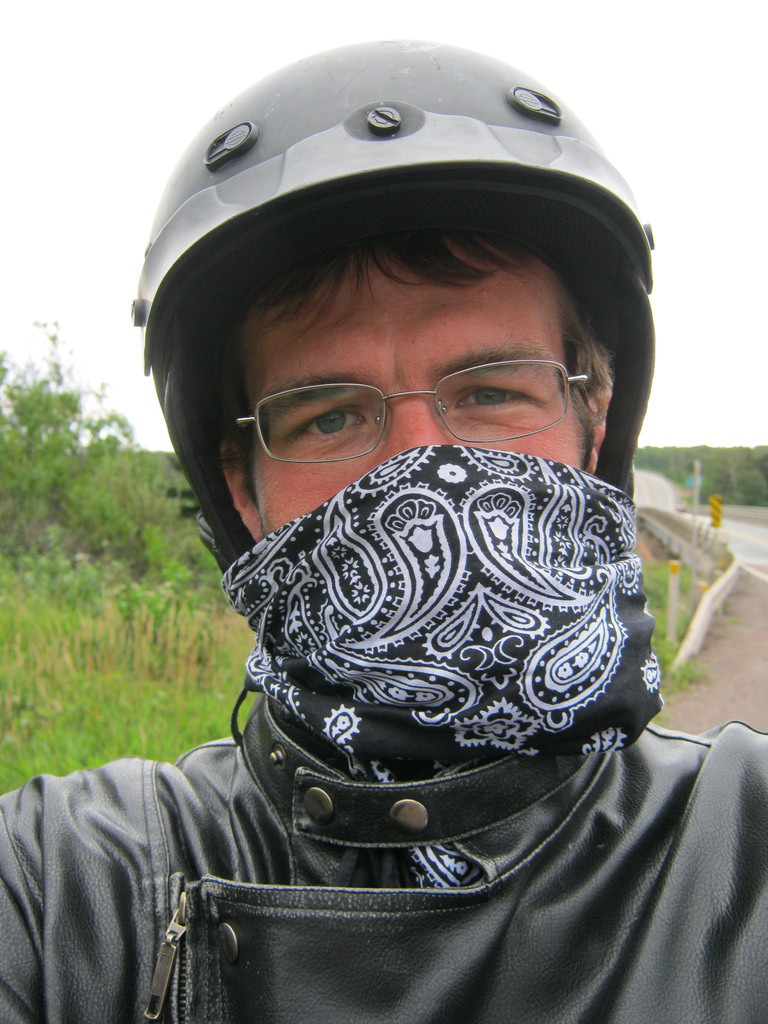
If you're observant enough you may notice that my lips are in bad
shape and I'm wearing a bandana. My lips got all cracked and felt
like they were going to fall off. I guess it's surprising it
hasn't happened much earlier. The bandana would have helped if I
were wearing it all along, at this point it was just damage
control. The next day I bought some lip balm, that was much better
for my poor lips.
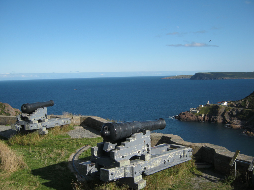
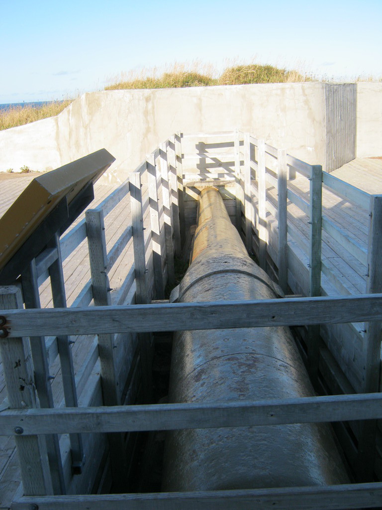
This is a canon they built during world war 2 to shoot at german
submarines, it's never been used:

This is on my way back already, on the transcanada near highway
90. You might notice that the sun is setting. That's important,
because, you see, I had plenty of time to make it to the 10:00
boat.
Those ravens are all over the place. They are the real wildlife
in Newfoundland.

I arrived to the port a couple of hours early, and there was
nobody there other than a guard. Of course it turned out I was not
a couple of hours early but a couple of hours late. For some weird
reason I was so convinced the boat leaves at 22:00 that I didn't
even bother checking my booking, which was sitting in the pouch in
front of me for the last three days.
Sucks! The boat ride was not really optional, there's no other
way to get back home from the island. Next one from Argentia -
four days later.
Lucky me that the guard pointed me to the office and the ladies
at the office found a solution for me: I'd go all the way back
across Newfoundland the next day, and get on the boat in Port aux
Basques at 21:45 (leaving at 23:45).
For the night I didn't have time to find anything other than the
RV park right next to the port. I don't know much about RV parks
(never stayed at one before), but this one was a little
depressing. For 25$ I got a pad of grass to set up my tent and..
that's about it. It was ok, jut really weird.
I've already decided by this point that I'll be in a rush heading back. The trip took a long time, and though there was much more that I haven't seen than I have, it was time to get back. This day I still took some photos, but not many.
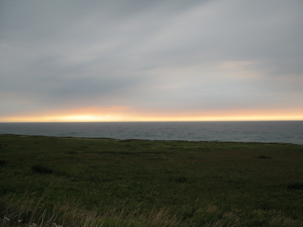
This is where I slept, with a view of the ocean I couldn't see in the dark:

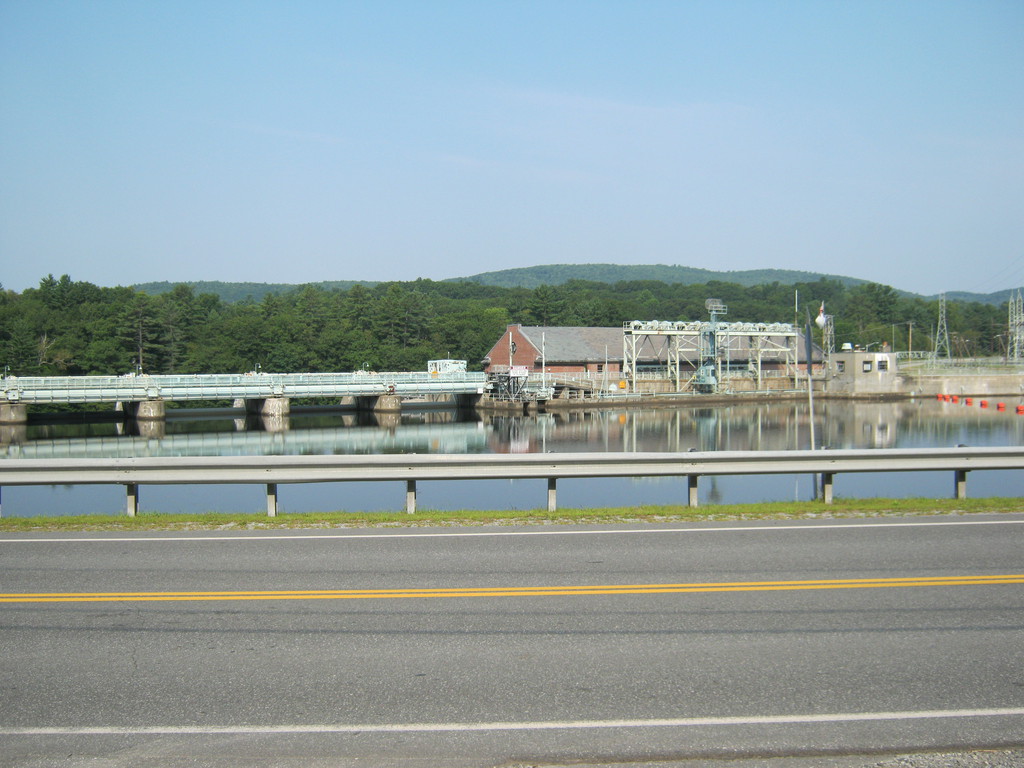
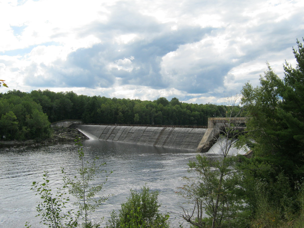
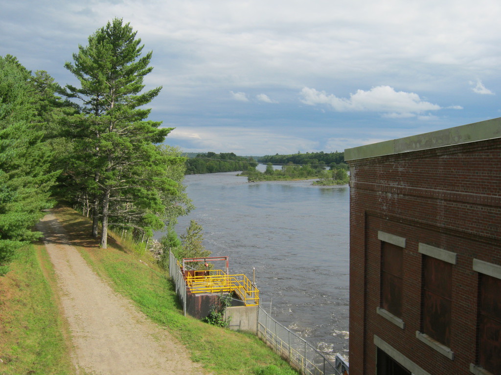
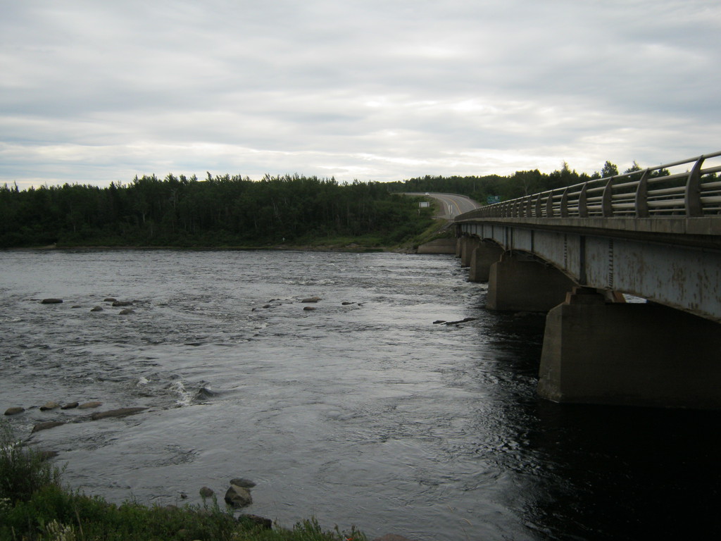
Some random bridge and dam on the way back:
This is what I looked like on the way. I walked into a Tim
Hortons like this once, I think I freaked the girl out a little. I
just wanted a donut, and was going to pay for it too :)
And I did indeed make it all the way back to Port aux Basques
without incident. I think it dripped a little but nothing worth
paying attention to.

Since I had enough time and I needed lots of energy for the next
day - I went to explore the town and find a place to eat dinner.
Found one place (forgot the name, the one sharing the building
with Greco Pizza) and asked whether they had a table, was seated
at one that was just freed up. Sadly after 30 minutes of waiting I
just couldn't wait any more, so I left without anyone even asking
me what I wanted. Maybe I was supposed to order somewhere else, I
don't know.

Got loaded onto the middle deck again which you would think is
the lowest deck but it isn't. The ground level is the middle one,
and the floors in it open to let cars drive down to the lower
level.


The way back was crazy. What took me 8 days one way I did in 2.5
days on the way back.
The first day I got to the border between New Brunswick and
Quebec on highway 2, stayed at Parc Provincial de la Republique.
So close to Quebec everything turned french, but the guys at the
park entrance spoke english.
Right after I was done setting up the tent and I wanted to go
have a shower - the rain started pouring, I didn't even realize it
was cloudy. I don't remember whether it rained before on that day
or not.
The second day I went through Quebec, got rained on a lot in the
morning. At some point I wanted to stop and make a photo of the St
Lawrence - it's enormous! Though looking at the map I guess I
shouldn't have been surprised.
Riding through Montreal was horrible, worse than the 401 during
rush hour, and the city is as big as the GTA.
I didn't want to stay overnight in Quebec, I always felt
uncomfortable there because I don't speak french. I made it with
no trouble to Cornwall and stayed at a motel. I should have stayed
at a park, but I guess I was in too much of a rush to think about
it.
At this point I was so close to Toronto I could have
theoretically gone all the way home, but stopping for the night
was a good idea.
The next day I stopped at almost every single rest stop on the
way, and lied down for 10 minutes each time. Had no reason to
rush, was almost home, and was at no risk of getting home late.
And I made it back with no further adventures. It looks lie my
bags are a little deflated, not sure why - I didn't eat that much
of the food, and I only lost a tiny notebook.
Wooh, now (3 months later) as I finish writing this page, I am
even more impressed with my achievement. This was an awesome
experience in so many ways, everyone should do something like this
at least once in their life!
If you have questions for me, please use this form.