Entire Bruce Trail hike - Part1 - Niagara Falls to Beamer's
Falls
26-28 April 2013
This trip happened over 6 months ago, and all I have to remember it
is some photos and some notes scribbled down in a hurry, and my
memory (the least reliable recording device :)), but hopefully this
was the first part of a long and fascinating adventure and I'll put
as much in here as I can remember.
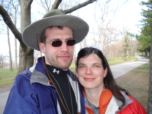
Kim and I were looking for something to do over the weekend. We're
the active type so there was much to choose from. Then an idea has
come into my head that we both liked - go on the Bruce trail for the
weekend. A bit of research and I learned about the Bruce Trail
Conservancy (I can't believe that's a real word and that they spent
money renaming themselves into that) and the maps they publish.
Looked like it makes sense to buy the individual pages if you're
only interested in a two-day trip but our idea was to do the entire
thing eventually, so we bought the entire book (35$ or something
like that).
The entire Bruce Trail is a lot, almost 900km with an extra 400km in
side trails, so this will be a project to complete in many years.
But given that we live in the GTA - we will likely have many years
to complete the trip.
Unfortunately camping is not allowed on the trail with few
exceptions. Same for cycling. That makes planning a long hike quite
challenging. For this first part we decided to stay at bed and
breakfasts for the two nights. That worked out, though mostly
because of luck and not my awesome planning skills :) That also
meant that we didn't need to carry a tent and two sleeping bags,
which would enable us to hike for longer. That also worked out, but
with challenges I will describe later.
Here's the plan I made for the hike (as I already mentioned this was
a bad plan, but I'll put it here since it's what we were expecting):
Friday:
- 9:45 Arrive in downtown Toronto to Kim's dad who will give us
a ride to Niagara
- 10:00 Leave to Niagara
- 12:00 Arrive Niagara on the Lake, have lunch
- 13:00 Drop us off at Queenston Heights and begin hike
- Hike to 26km, in St Catharines
- Sleep at Four Points Sheraton SW of St David's Rd and 406
Saturday:
- 8:00 Leave
- 12:00 Louth Conservation, have lunch
- 16:00 Cave Springs, have dinner
- 19:30 arrive to 74km in Grimbsby
- Sleep at Beamer Falls B&B
Sunday:
- Arrive somewhere in Hamilton
And here's what actually happened :)
Day 1: Queenston Heights (Niagara) to St
Catharines
The night before I spent till midnight looking for a camera
online. I did that because I'm cheap and won't buy just anything
and because I'm organized but not enough to do this in advance.
Pretty much gave up on finding something good and reasonably
priced. I normally rely on reviews online but I found that with
cameras you get all kinds of retarded complaints and it's really
hard to figure out whether a camera is simply capable of making
solid good photos or not. Decided to get whatever they have in the
store that's cheap but waterproof - I realised that all my
cameras' lives end with water damage.
Another thing I didn't do in advance was to get the bakcpacks and
my camping stuff, which I keep at my mom's due to lack of storage
space around here. She had a flyer that had a waterproof camera on
sale - a Fuji Finepix XP60. FYI: I do not recommend this camera,
it fails to perform its primary purpose which is make decent
quality photos. Though it does appear to be really waterproof,
which is one of the main reasons I chose it. It's possible that
the photo quality sucks because of the waterproofyness, which
forces the lens to be a tiny little thing hidden behind glass.
Turned out that two medium-sized hiking backpacks would be too
small for the stuff we were bringing so I brought a serious
backpack and paired it with a small day pack.
All this going around in the morning meant we left Toronto at
11:30 or so instead of 10:00. It was the first delay of many :)
13:20 Arrived to the historic Niagara on the Lake. Turns out
Niagara on the Lake is actually quite large, and the scenic part
in the corner is nothing like the rest of it. I had no idea, even
though I've been there (to the historic part) a few times.
Had a nice lunch. Tried to get coffee at a local shop but that
was taking way too long so we went to a big chain coffee shop
instead. Noticed that the camera has charged fully on the way to
here, one less thing to worry about!
14:30 Left Niagara on the Lake.
15:55 Trail start. Got dropped off around here, I'm pretty sure
at the west end of the park so we missed the first half a
kilometer of the trail. I felt that was a shame but didn't feel
like spending any time looking for where the trail actually
starts, we were already 3 hours behind schedule. One of these days
when we're in the area we'll find the beginning of the trail and
hike that portion also.

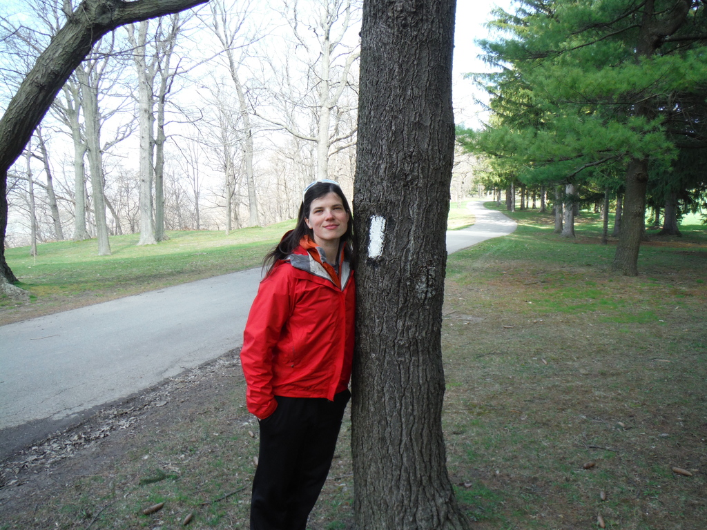
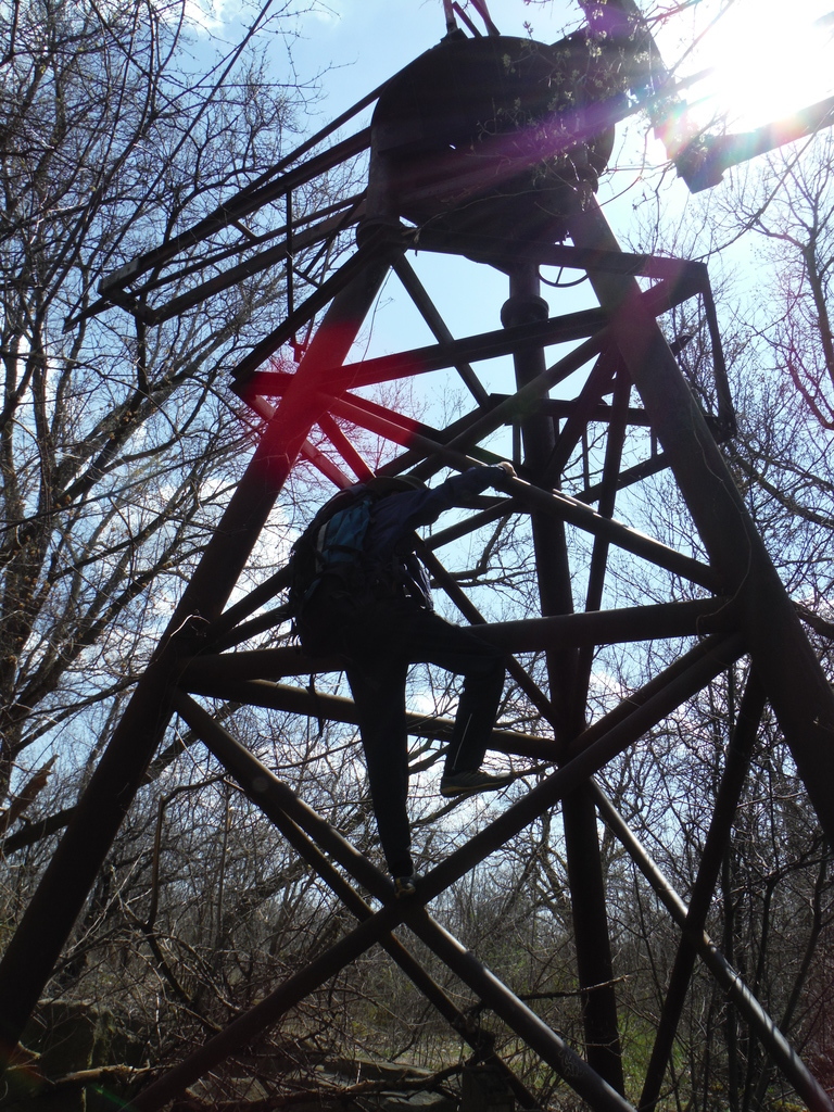
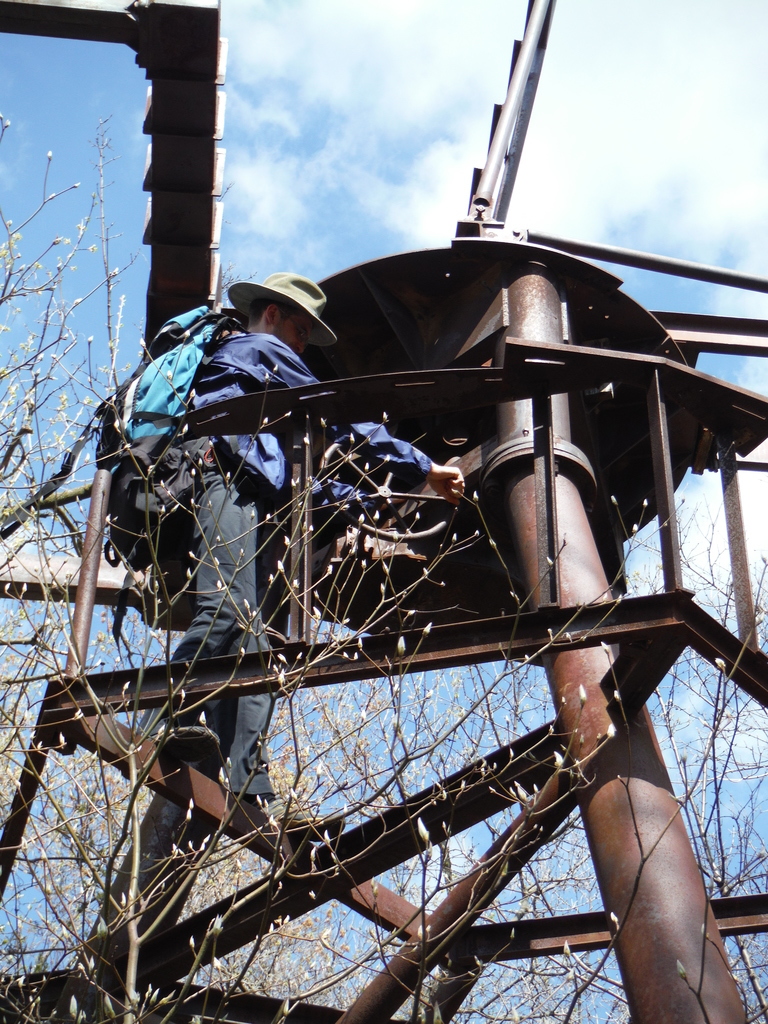
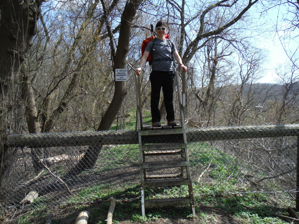
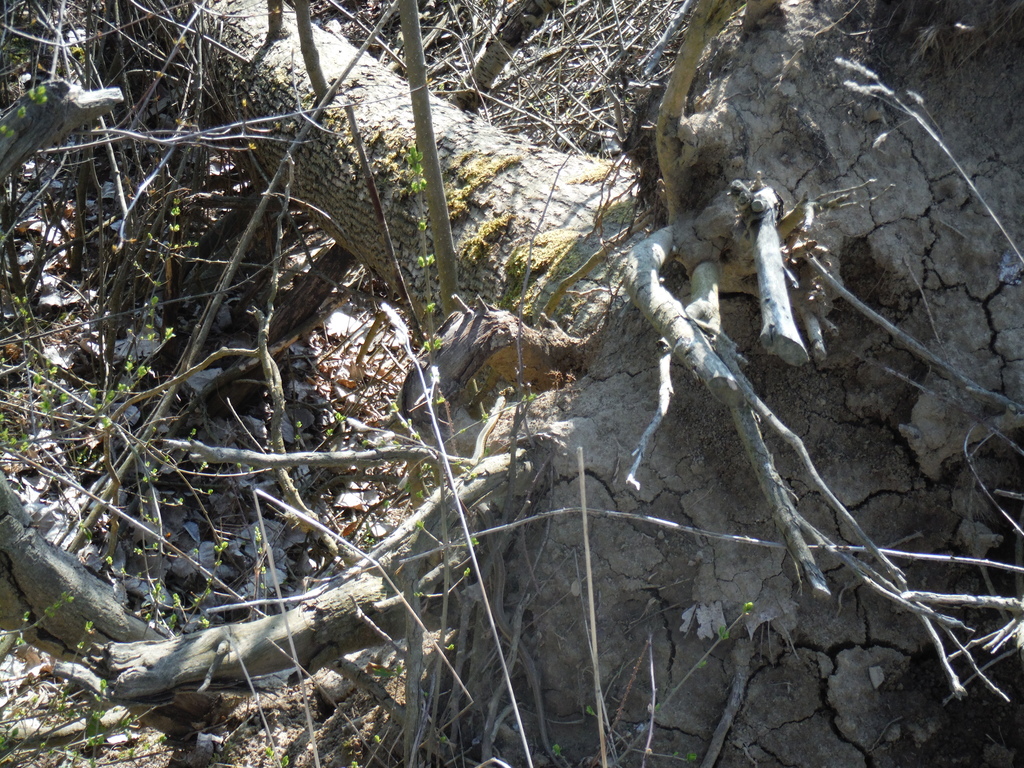
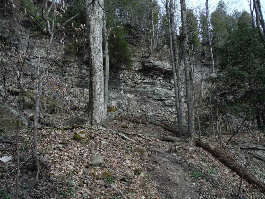
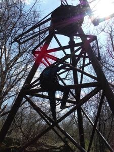
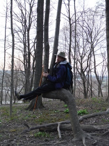
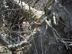
Very quickly I found something to climb. Not sure what that used
to be, clearly not functional now.

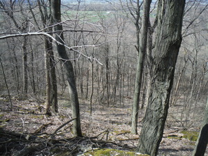
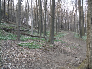
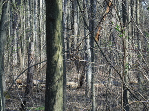
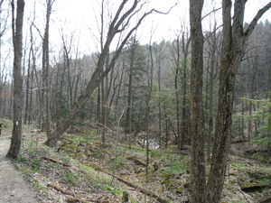
Random good looking outdoors:
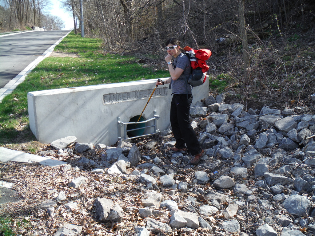
On occasion on the trail you'll find things like this, I guess
some people will allow hikers to go through their back yard but
not bikes. Shame, I don't really understand why, but I guess the
alternative was no access at all and a long detour via some boring
road:

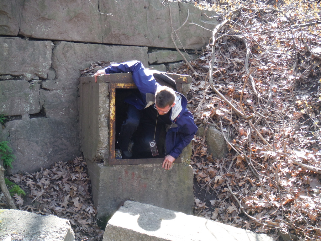
After you get through the tunnel...
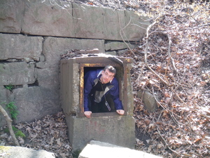
Nah, just kidding, you don't really need to go in there unless
you want to :)
At some point at 5.8km I think there was a strange trail redirect
sign, except it didn't say where the redirect was. I'm not sure
what they were suggesting for people like us - give up and go
home? Not sure what that was about, looks like some kind of
construction was potentially starting (maybe a house) but nothing
really there, so we stayed on the old trail.
16:30 Fireman's park. And another redirect. This time not only
was there a sign saying redirect, but they pained over the old
markers on trees with black. We decided not to risk getting lost
trying to find the old trail and took the redirect.
I hope this was intended as a joke, but something tells me they
were serious. Really? Do you have nothing better to do with your
time than to come up with stupid things like this?

17:00 Mewburn Rd. We should have ignored the redirect. Ended up
wasting 30 or 40 minutes going way the hell around a perfectly
good park, hiking on the side of a nasty high-traffic road with no
trail, sidewalk, or even shoulder to stay on. I'm sure they had a
perfectly good reason to make the change to the trail, but I
really wished they explained why they did it and how long the new
route is so that we knew to expect what we got.
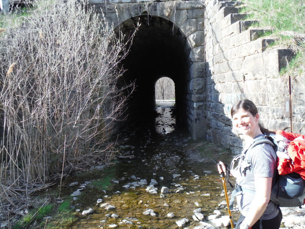
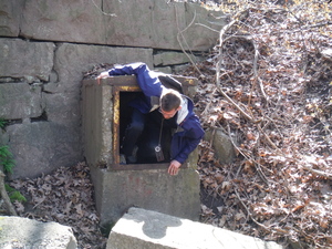
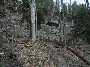
More nice scenery and a tunnel we did have to go through despite
the water (the previous one was optional but dry)

18:00 Made some tea and had a 15 minute rest. Looks like we'll
need to either rush take shortcuts to make it today.
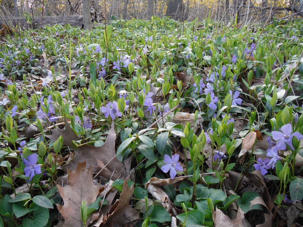
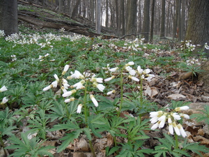
Pretty flowers:
Confusing tree tags that look like trail blazes:
A tree I smashed into and a car that smashed into.. actually I
have no idea how that happened:
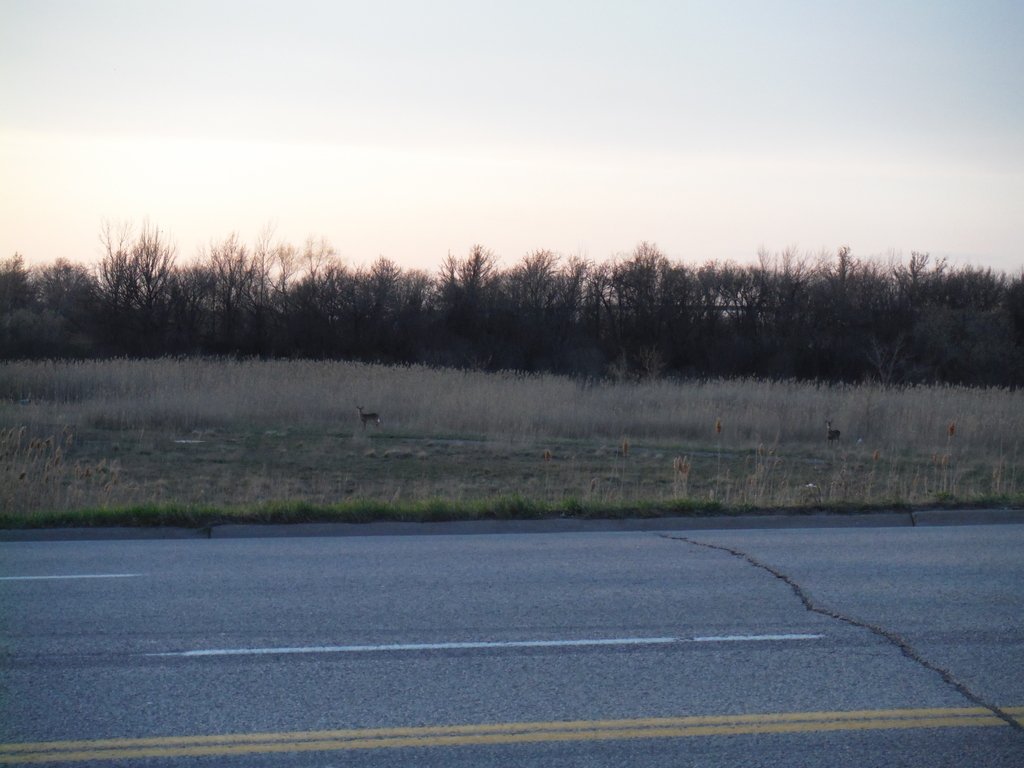
Deer!
Final rush, as you can see it's getting quite dark and difficult
to find the blazes, especially hard in the city where it's so easy
to miss a little white rectangle:
Didn't end up skipping a lot, only one small part of the trail
between Merrit St and Merrittville Hwy. It got dark a few minutes
after 9:30 when we got off on Merrit st and we didn't want to go
through any wooded areas in the dark, there was a high likelihood
we'd end up in someone's back yard or miss a critical turn.
Then we missed a turn anyway, took a bad shortcut on one of the
smaller streets. I don't remember why my phone didn't help,
possibly I didn't have a functional gogle maps phone that weekend.
Ended up stopping for a donut at a 7/11 (that helped a lot) and
asking for directions, were told to head back a couple of blocks.
Another 30 minutes wasted.
Arrived after 22:00.
Hotel was the nicest I've ever stayed at (not that I've stayed at
a lot of nice hotels). The first one I've ever had with 2 rooms.
Can't remember what it cost.
Day 2: St Catharines to Louth Conservation Area
6:00 Got up. Was awake for a bit already. Feel good except for
the hip that's been bothering me most of yesterday.
Later will have to try and reach Beamer Falls B&B where we're
planning to stay for the night. Am suspecting that we won't make
it all the way there based on our pace yesterday. We moved quite
well and quite long, but I should have counted 2km/h or at most 3,
definitely not 5, there is lots of bad terrain and much up and
down. Southern Ontario is all flat, except for the Niagara
Escarpment which the Bruce trail runs through :)
7:20 Done breakfast downstairs in the hotel. It opened at 6 but
we were the only ones there, quiet weekend maybe.
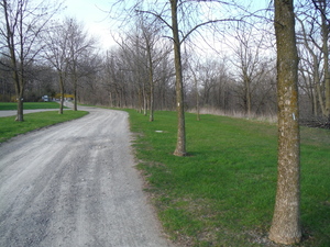
7:45 Left. Went around Brock university so as to miss as little
of the trail as possible. It's a nice hike.
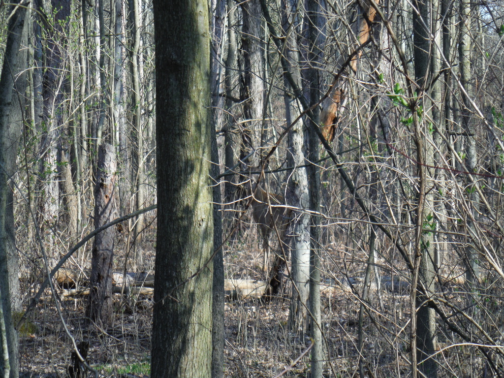
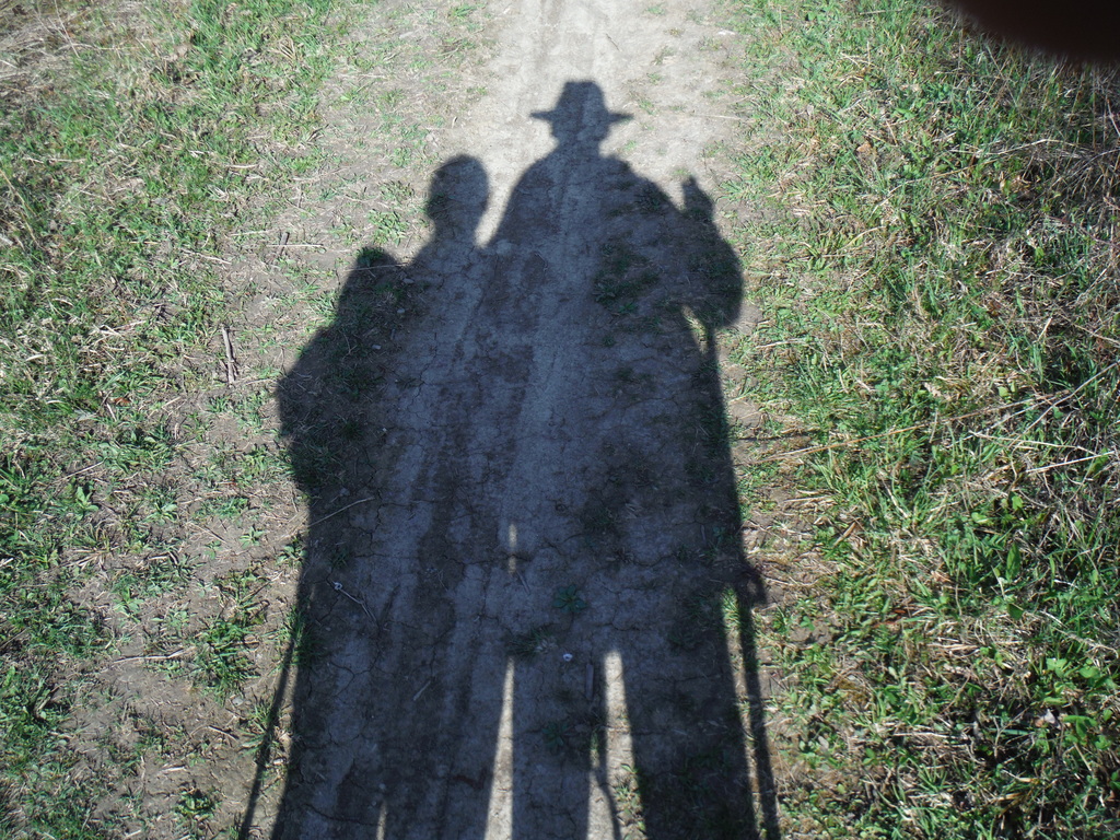
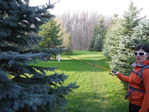
Wildlife for this morning: a deer and several snakes, don't know
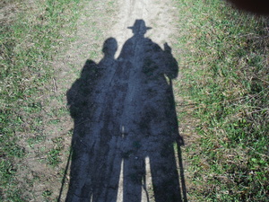
what's with the snakes on this trail. Can you spot them?
That's us!
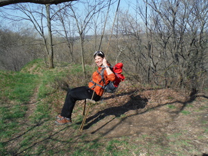
Found this neat swing hanging randomly on a tree, a bit of extra
fun:

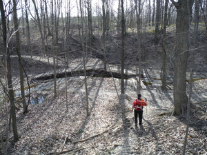
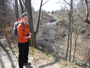
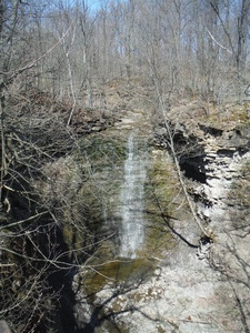
9:50 Got to Morningstar Mill. Well, if we got this far already we
might actually make it to the destination tonight. This is the view
from one side and the other:
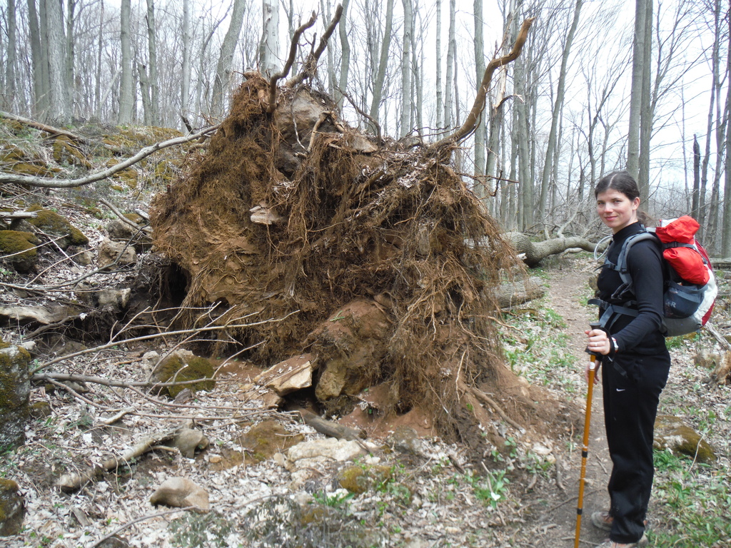
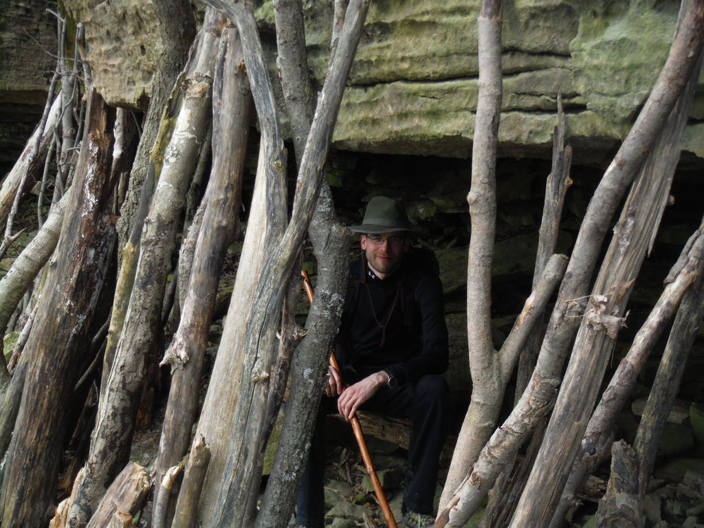
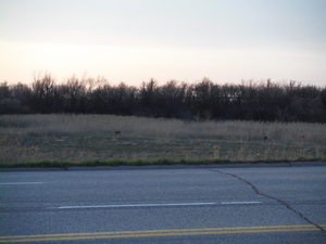
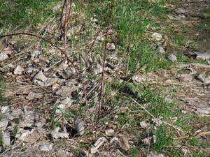
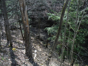
Some thing on the way:
This must have been in the Short Hills provincial park:

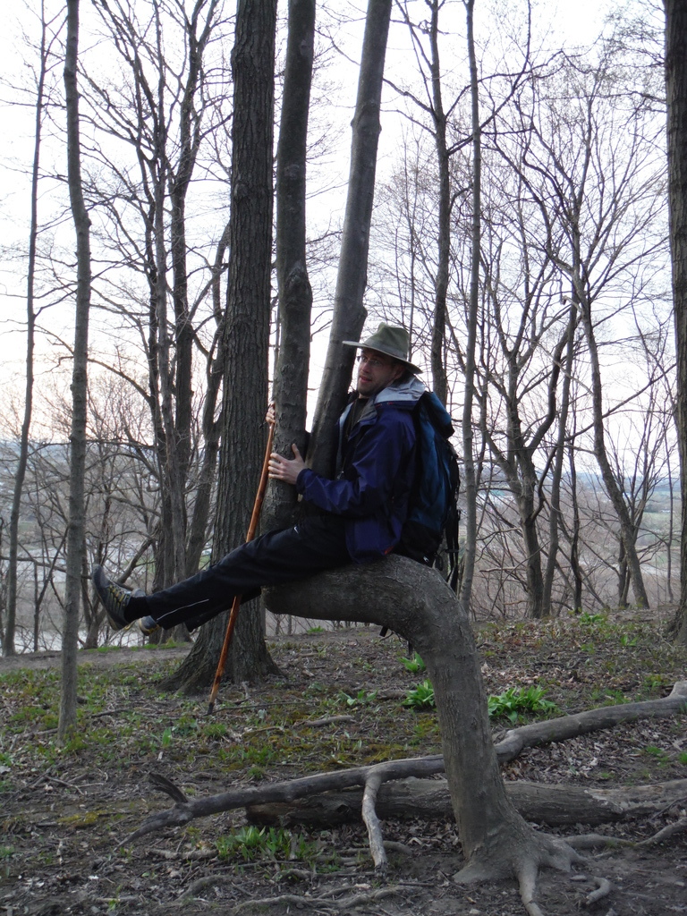
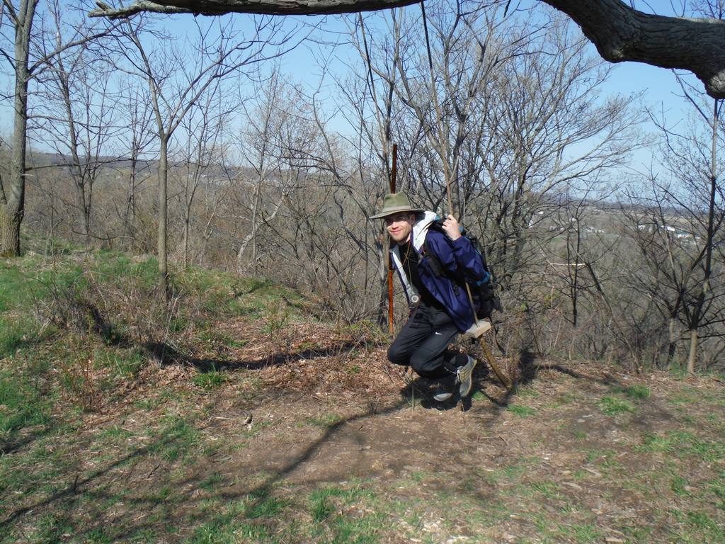
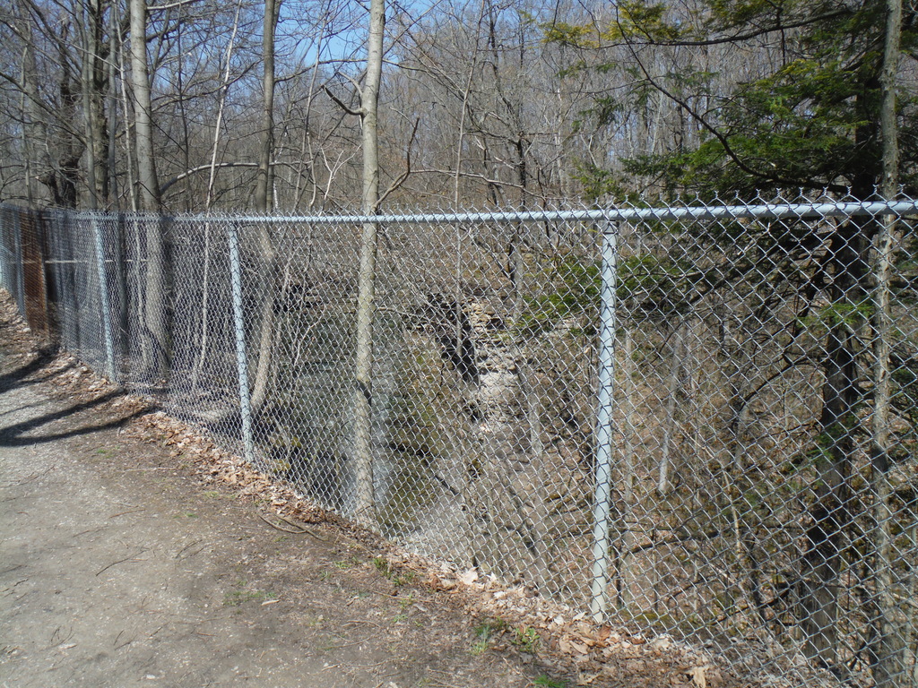
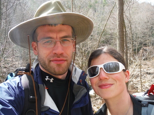
And this is how you annoy Andrew,
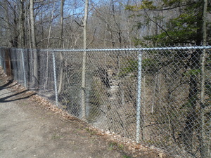
By putting an ugly fence in front of a gorgeous view like this:
12:00 Effinghan St. Yep, definitely no more than 3km/h. About 15 km
today in 4 hours and that was with all the morning energy which will
not last all day. Will call B&B later to ask if we can get a
ride or a cab.
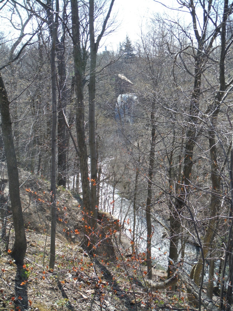
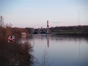
That's Rockway Rd. down there I think:

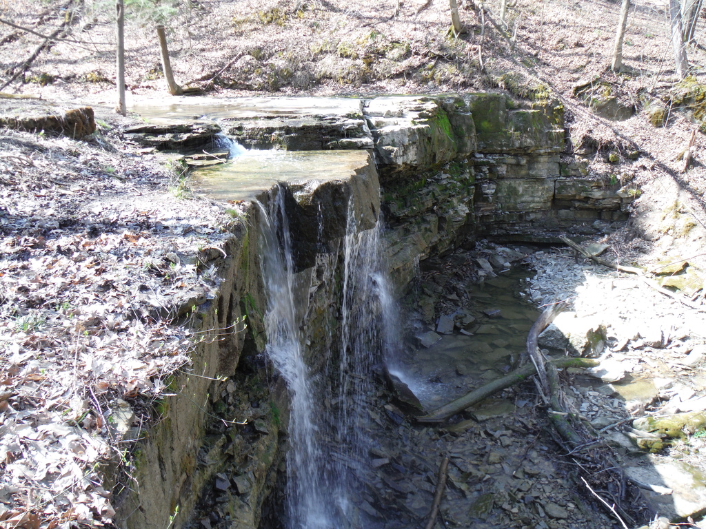
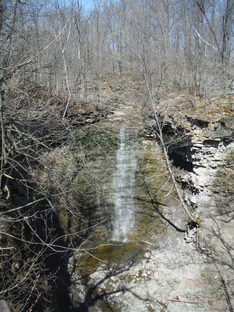
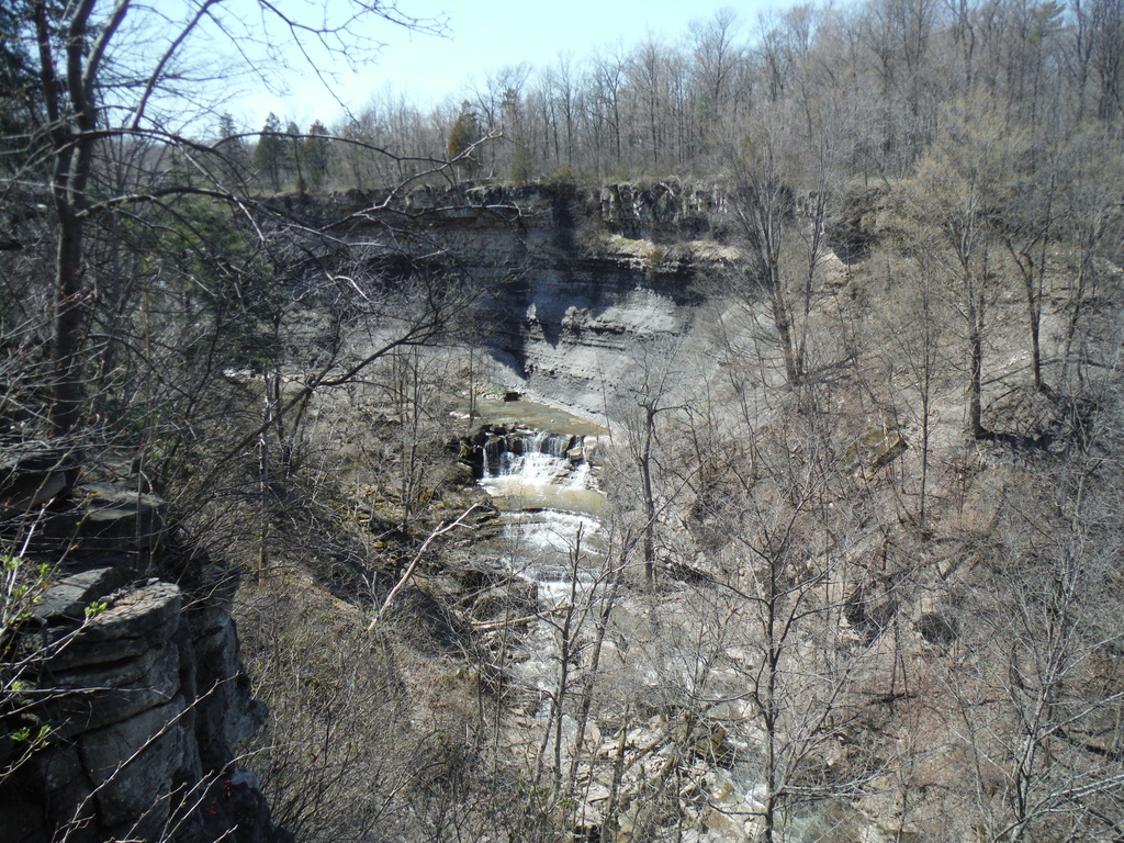
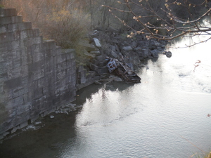
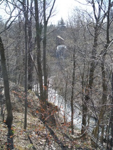
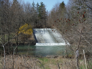
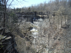
13:10 This is really nice. Looks like Rockway Falls. You can walk
far up to the falls through the valley if you have the energy, which
we don't :) By this point we're pretty exhausted and I'm a little
demoralized, a combination of disappointment with my planning skills
and my strength I guess. Had a break at the top of this, I think we
ate a little.
Just before leaving to go on got a bit of a shocker, as we're
sitting there a couple of guys in camouflage walked by, in the
direction we came from, one carrying something that looked a lot
like an AK47 and the other with a huge bag on his shoulders that
probably had a sniper riffle (or less likely a bazooka). I thought
they might be soldiers in training, but later on the trail we saw a
lot of signs saying "watch out, shooting range, stay on marked
trail", so I guess they were heading to one of those. Weird though,
I had no idea we're allowed to hunt right in the middle of
civilization. St Catharines is a little redneck, but it's not
northern Ontario where anything goes :)
14:20 Called Beamer Falls B&B, got no answer. Left a message. Am
starting to wonder if this place actually exists, or if anyone is
home. We haven't spoken to any human being from this, just booked it
online. If we don't hear back by the time we get to the Louth
parking lot will look for a cab. Smartphone very useful to have for
cases like this!
16:00 Louth parking lot. Original plan was to have lunch at Cave
Springs, hah! Did only about 22-23km today and it's another 30km to
Beamer Falls. Oh well.
Just as I started looking for a taxi an older couple we met earlier
on the trail came back to the parking lot and generously offered us
a ride to the B&B. Such a relief! I wish I were in better shape
to keep up a conversation, both of us were drained. They drove us
right to the door. Thanks!
Turned out the Beamer Falls on the map was the falls themselves, not
the B&B. That made sense all of a sudden, for a while I was
beating myself up - how did I not notice it on the map? Turns out it
was just a coincidence.
I should mention that I was originally trying to make a reservation
at Vinifera B&B, but they (unusually for this time of the year)
were full, a large group showed up all of a sudden. The lady from
Vinifera was very nice to recommend the Beamer Falls B&B, and
just based on that I'll place a bet on that Vinifera is a good place
to stay too.
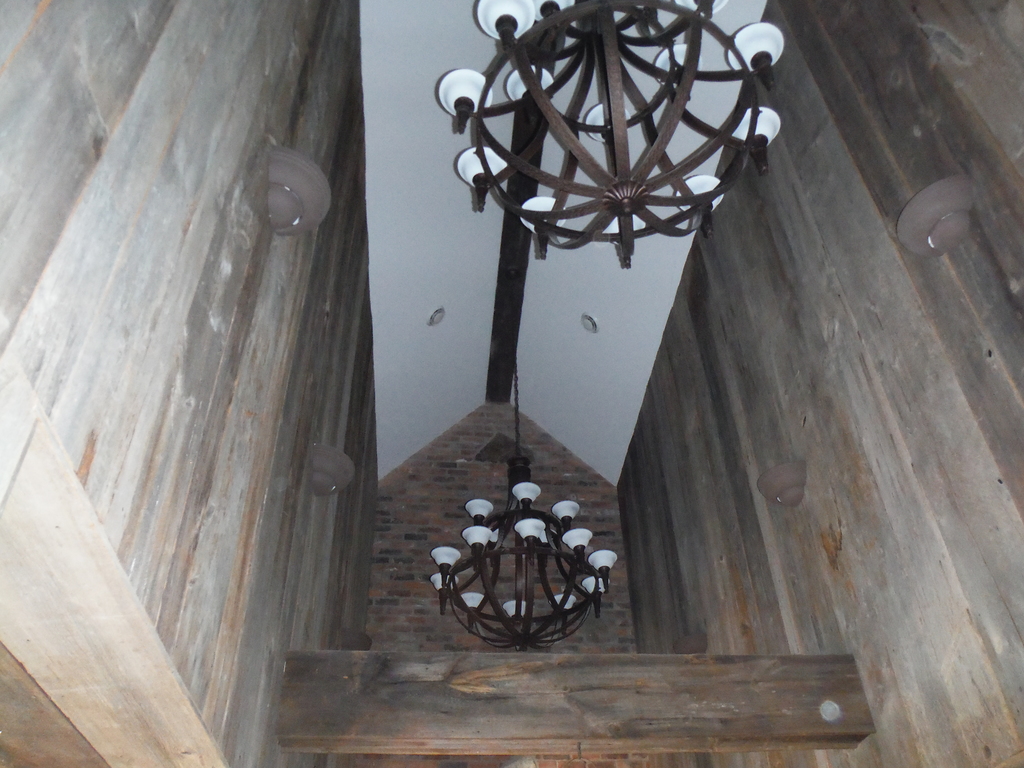
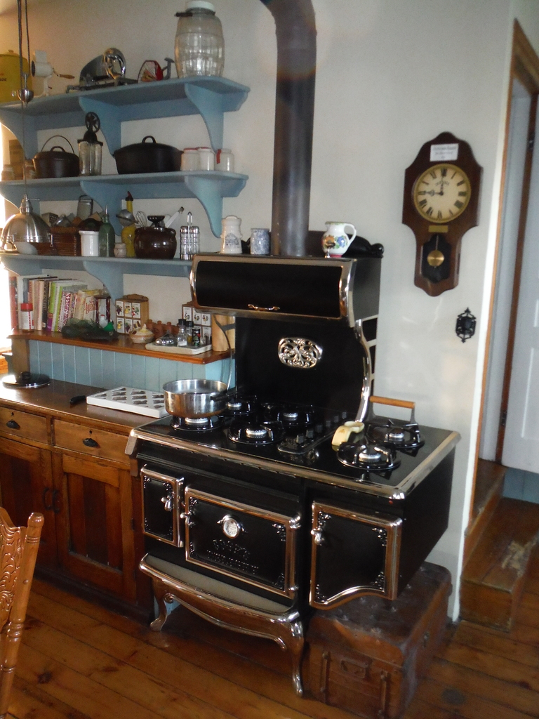
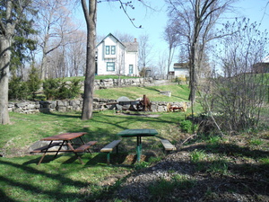
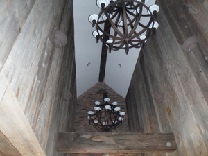
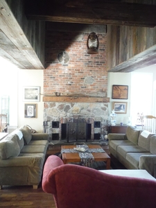
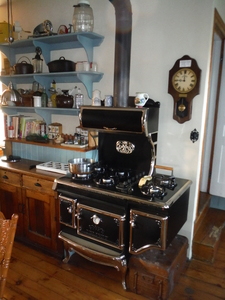
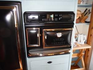
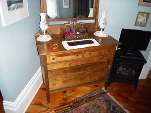
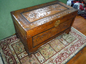
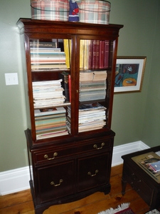
Beamer Falls B&B is a little crazy in how old school but
extremely well taken care of it is. All the amenities are there
though it's a historic house, including a hot tub we enjoyed
relaxing in. There's a lot of real old furniture and much of the
house itself is original, but many parts (like the kitchen) are new
but still in the old style, the place is gorgeous. Here's just a
taste:
For 160$ (with tax) I cannot imagine how we could get anything
comparable at a hotel, good thing Kim prefers bed & breakfasts!
The owners (Adrian, I think his wife's name is Christina) said this
time of year it's always quiet but during the summer they're always
booked. Not so much as a B&B but more a place to hold weddings.
Interesting, I wish I had more energy to ask about the business
model, maybe in our old age we can do something like that too :)
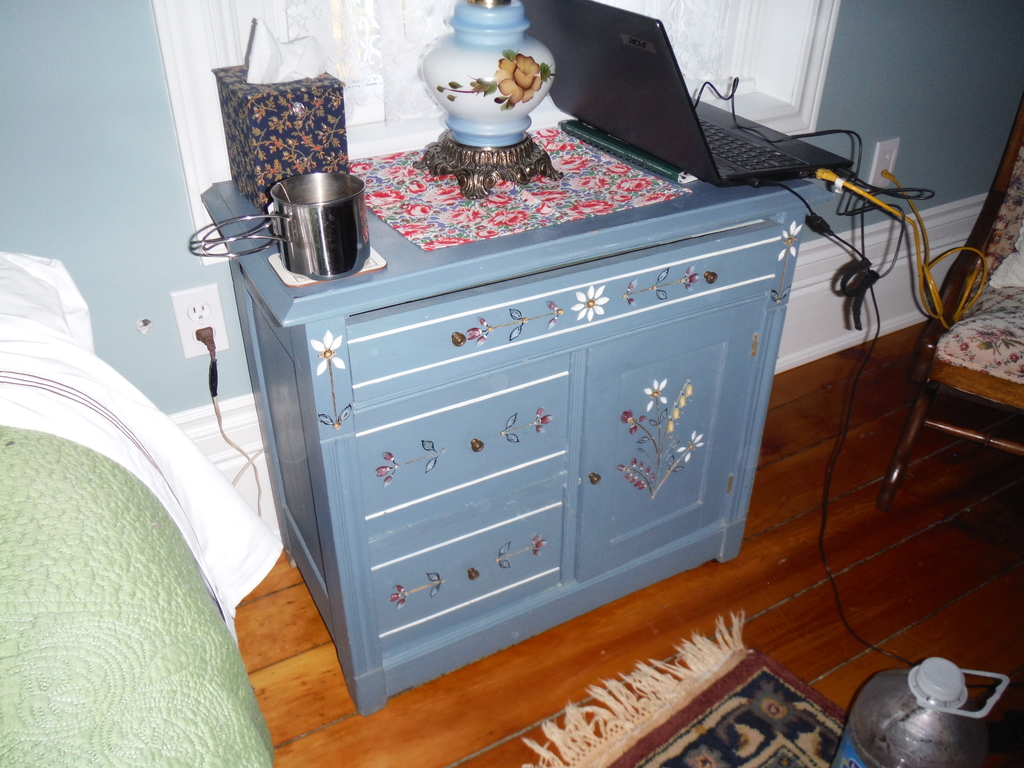
I made some photos of furniture I might try to copy in my spare
(haha) time:

Day 3: Beamer Falls to Kinsman park (hiking backwards)
Got up around 7. Lazying around waiting for 9:00 breakfast. Heard
the hosts eating at 8 and gut hungry. We could have said we'll wake
up early, but neither of us was thinking last night.
Breakfast was a feast. A couple of eggs, fruit, cinnamon buns,
croissants, bread, mushrooms, and infinite amounts of bacon, back
bacon, sausages and potatoes. Had too much of everything and there
was still lots left over. Yum!
Paid today. Almost didn't, I thought the payment was processed when
I made the reservation, apparently not. Guess they're less picky
this time of year.
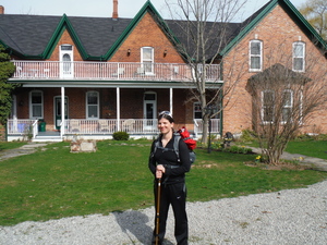
10:05 We're off, that's the B&B from the outside:
My leg was in bad shape last night, not sure what the hell the
problem was. The pain started at the hip but that part never got bad
enough to stop me. Unfortunately the next part that started to hurt
was the knee, and that crippled me badly.
Today it looks like the rest helped, but clearly it's not 100%
recovered so I'll take it easy and see how far I'll make it. Clearly
we're not going to get anywhere near Hamilton, so our goal for the
day is to hike as far as we're able. Good! No pressure.
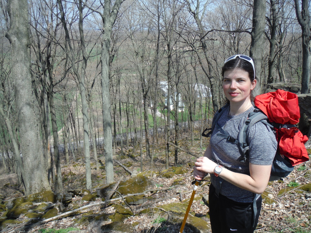
Nice views, nice people on the way:
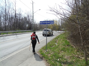
10:50 Took me a while to figure out why on earth there's a sign for
Crown Ridge B&B here, it's in the wrong direction! Did we go the
wrong way and loop around a couple of times? But ah, I remember, we
decided to head back towards where we got picked up last night, to
see if we can make it all the way. Not a bad idea.
11:40 Ridge Rd and Park Rd. S. Met a big bunch of hikers a few
minutes ago, probably the ones who got the Vinifera B&B before
us.
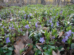
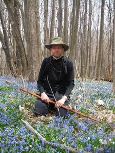
I like flowers :)
My legs are feeling pretty good except for the left knee. It's very
hard to walk up and down, but going straight is easy. Good thing I
have a walking stick, but too bad I didn't bring two - that may have
saved me from this disaster.
13:00 I have no idea where we are. Asked a guy and he says this is
Konkle Rd but judging by the compass he's wrong. We'll just
keep following the blazes. Probably another one of those retarded
redirects. Or maybe my exhausted mind is too concerned with my
exhausted body to function properly.
13:20 Some place..

13:35 Mountainview Rd. Short break, planning to stop at parking lot
5k from here.
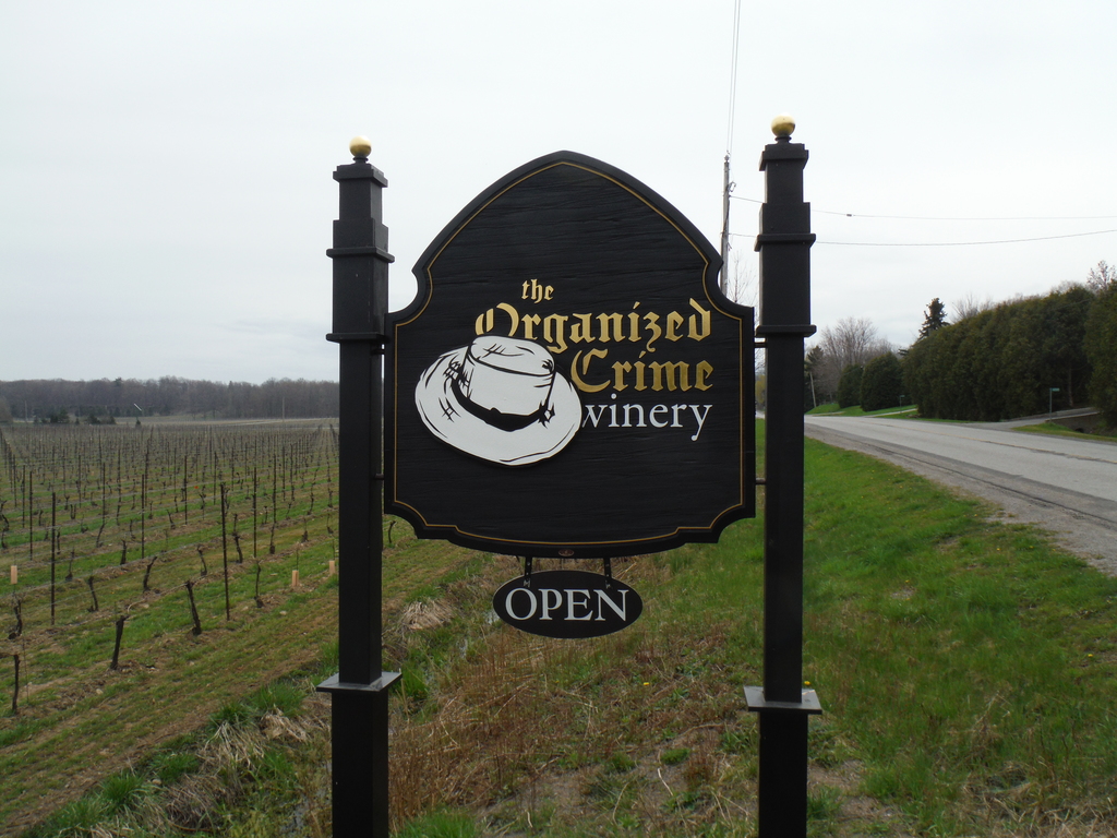
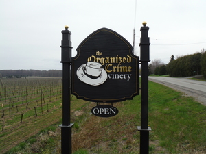
13:45 Haha, funny, Organized Crime winery. This is on Mountainview
Rd.
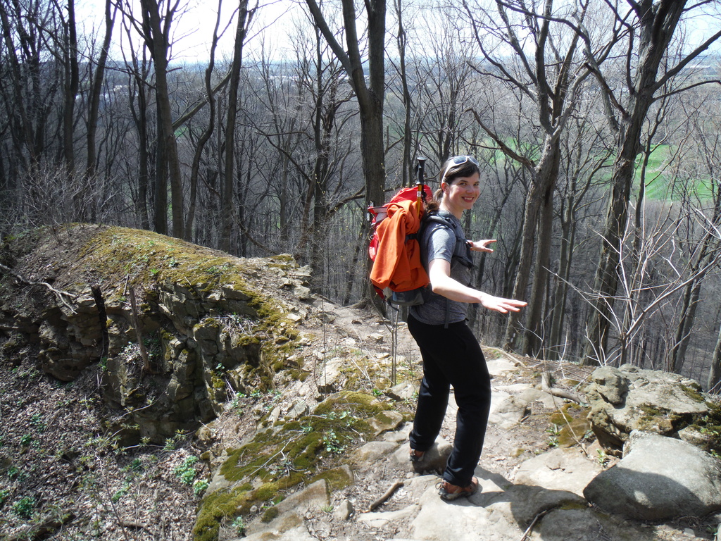
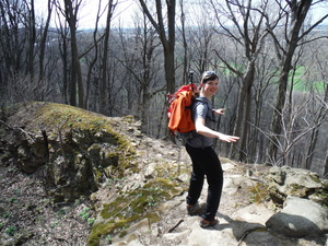
14:30 Cool, I wish I was in shape to climb up there and check it
out:
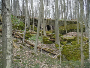
Ah, turns out that the trail runs right over that, but it took us 10
minutes to get up there :)

Decided to go on Mountain Rd/Kinsmen Rd/Frost Rd to get to the park
- both expecting it to be flat and because it was more certain that
we wouldn't miss the parking lot. In retrospective that wasn't a
good idea. The hike itself wasn't that great (just roads) and it
probably took longer. No matter, we got there.
15:25 Kinsman park, with paved trails and all. Ron will be coming to
get us from here.
Next time I have to make sure to bring lip balm, for some reason my
lips are badly cracked, which is very unusual for a short trip like
this. The last time I felt I needed lip balm was on my ride to
Newfoundland and that was after 10 days of riding on the highway all
day long with an open helmet.
It was cloudy all day but didn't rain. Started to rain while we were
waiting. Good timing! Made some tea to warm ourselves up.
Had to stop here because my leg was done for. Every step was a pain,
and even walking on flat road started to bother me, while the trail
itself is almost never flat. At some point before I claim that we
hiked the entire Bruce trail I will make sure to go back to all the
parts we skipped (for example the three sections on this 3-day trip)
and hike them too!
This here will be a link to part2 of the entire Bruce trail hike,
some months after it happens :)
If you have questions for me, please use this
form.
Other trips of mine.
Cheers!