Killarney Provincial Park - La Cloche Silhouette Trail
July-August 2005
This is an illustrated account of my vacation to the 'one of the few
in Ontario' wilderness parks. Mostly I wanted to relax (mentally),
get away from people and computers and also get some excercise (a
programmer really does sit on his ass all day). It was a successfull
vacation. The pictures are not all perfect as I wished they would
be, I have very little experience using a digital camera. All that
automation makes it very different from the good old Zenit I'm used
to (soviet era non-digital camera) so some things are darker or
lighter then I wanted them. Still, a couple look great on the
computer's background. There aren't as many pictures as I wished
because the camera was in the pack and I wouldn't often take it off
just for a snap.
I started on the evening of the 30th of July. Left Toronto at about
11:00 but spent an awfull 4 hours just getting to Barrie, never
found out whether something happened on the highway or that's normal
400 traffic. As a result I arrived at the park much later then I
wished, around 18:00. Having made no reservation I was lucky to get
in, this is the busiest time of the year for parks. Was supposed to
get to my first campsite later that evening, an easy 2 hour walk to
an unnamed lake south of Acid lake (H3).
Now it may have been my fault (this was my first wilderness trail in
Canada) but that stupid sign was pointing left! I ended up going the
wrong way (left) on the plateau north of Lumsden lake. Now that I
look at the map it's dead obvious what I did but at the time it
wasn't. I set up the tent across a stream from site H2.
Found my way easily after being told the general direction to go by
the campers at H2. A couple of hours later it started to rain.
Lasted on and off most of the day. Later i would become sure of what
I suspected at this point - rain is better then scorching heat :)
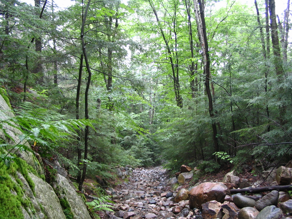
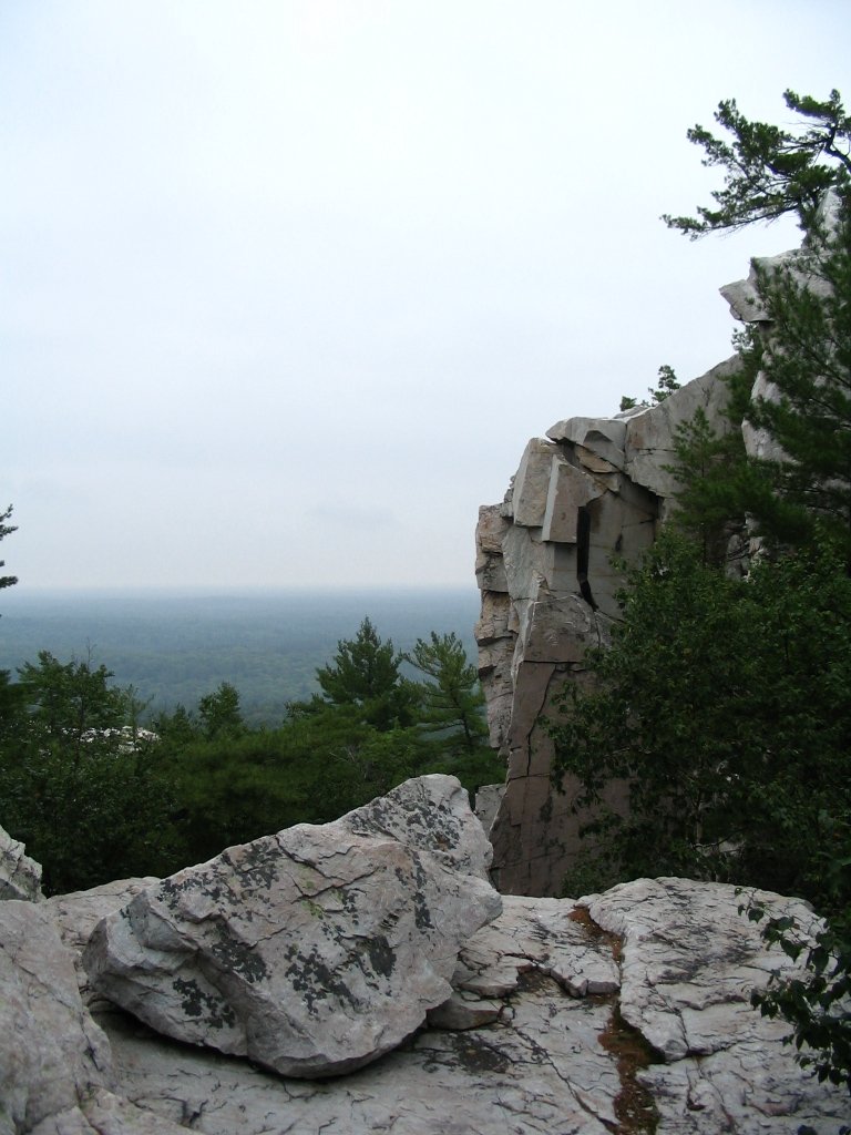
Nothing much happend then until I got to the Baie Fine -
Threenarrows portage. That seemed a seriously long and relatively
steep straight climb. Don't see myself carying a canoe across that.
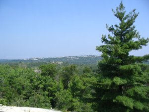
At the top of that climb I made a picture. The picture's not bad but
the reality is better. of course it could have been that I was very
happy the climb is over:
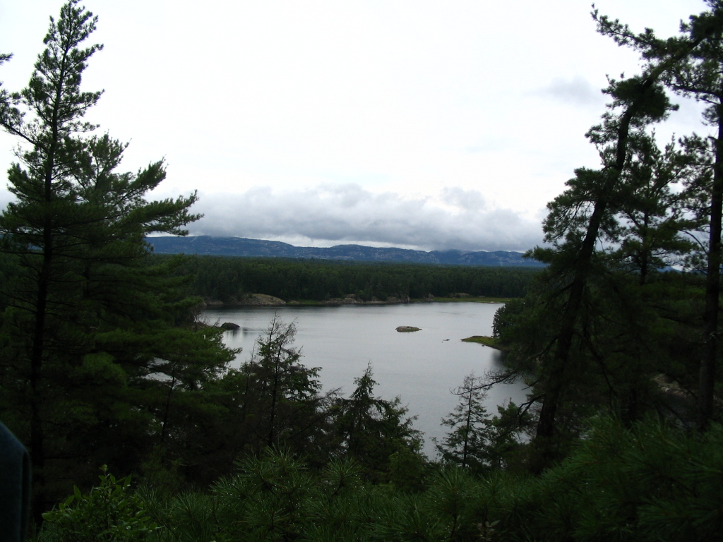
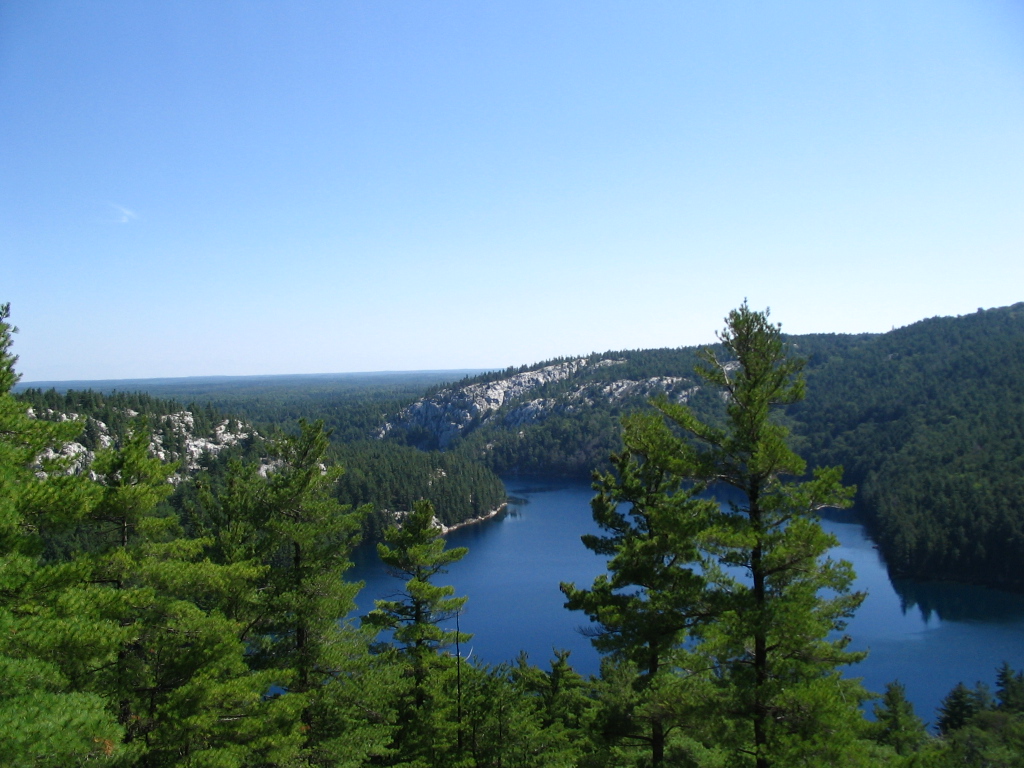
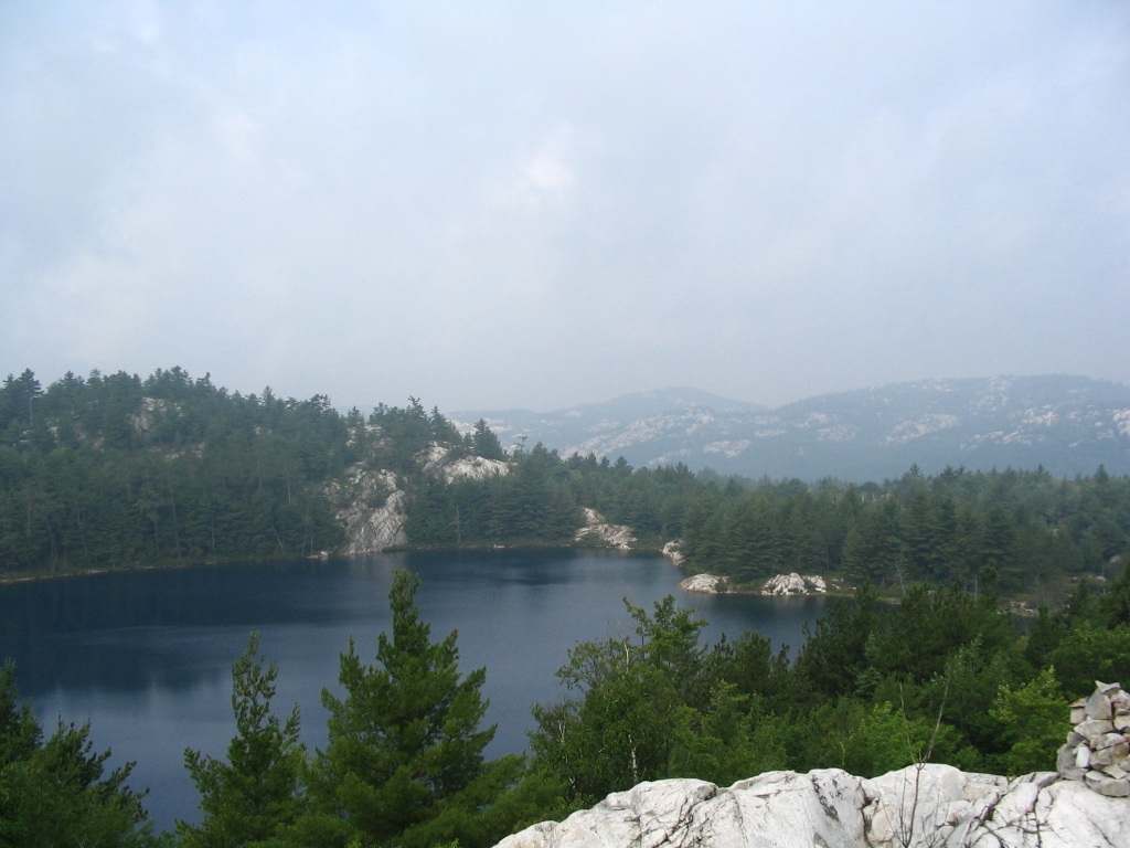
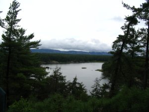
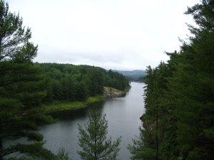
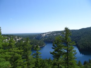
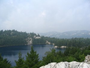
A few minutes later I was enjoying a magnificent view of the
Threenarrows lake and the green, steep slope down. The picture just
doesn't do it justice:
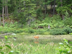
Going along Kirk creek I spotted a small deer (or whatever it was)
lazily standing in the water. This was taken with a 3x optical zoom:
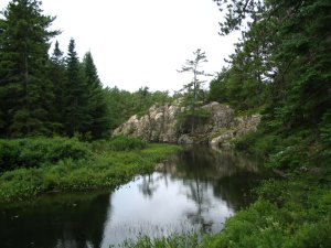
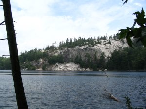
Some time later along the same creek I saw this impressively big
evergreen standing all alone on a tiny protrusion from that cliff:
The last picture on Kirk creek. To take this one i had to crawl
about 5 meters into the water on a dead tree trunk. Fun but the
picture isn't so good:

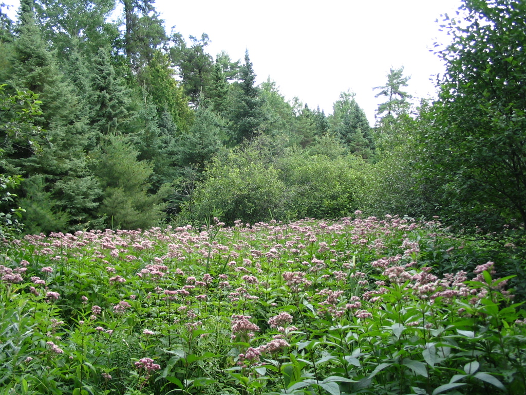
Oh wow, that wasn't the last one.. here's another. I don't know if
you can tell but these plants are almost as tall as me. They seem to
only grow in or very close to swamps:
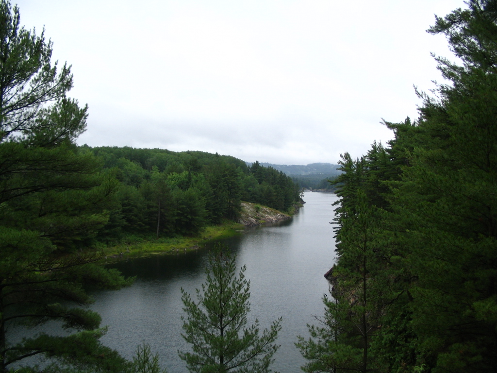
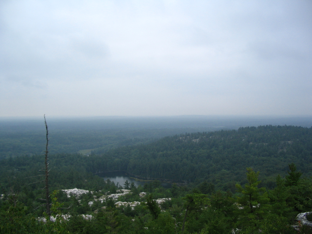
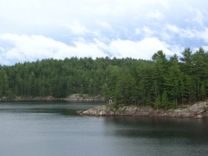
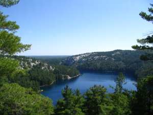
Some place not far south of my campsite for the night, looking
across a narrow part of the Threenarrows lake:
Set up my tent at H18. Looking down across the water was a
rustic-looking cabin on an unnamed island. A family came there and
made a lot of noise with a small motor boat and a loud child excited
avout catching fish (I think). They left after a couple of hours:
Have no nice pictures of the next day. Slept at H23, between the
Threenarrows section and the Hansen Township section on the (nearly
dead) creek flowing into Threenarrows from the north.
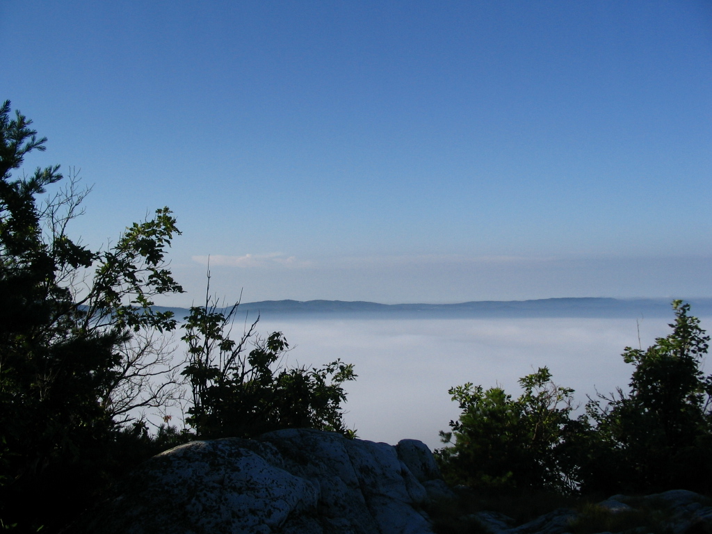
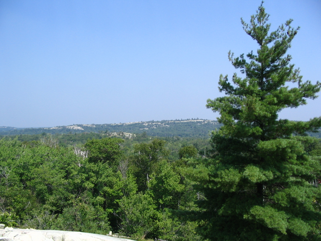
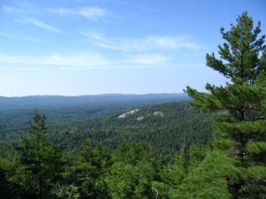
Day after started early and immediatly had a steep climb onto the
top of the La Cloche 'Mountains'. They're hills really but from the
following pictures you may think I was above the clouds. It is
simply fog. Again, much more impressve in reality:


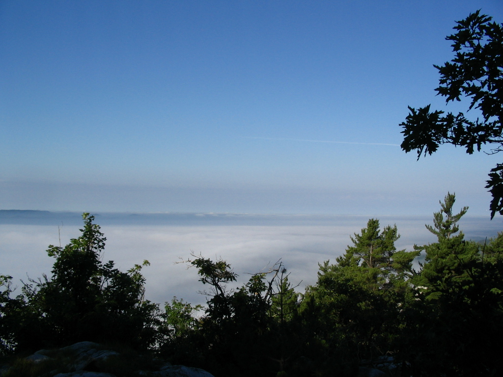
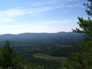
These three are looking south from the same hills. Don't remember
where exactly. They're different places in between the above and the
following :)

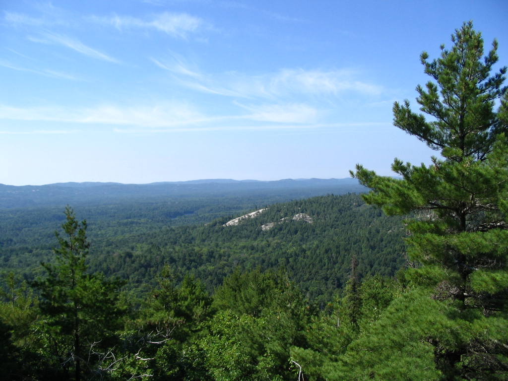
My campsite for the night was at beautifull Little Mountain lake.
These were taken as I was going down the steep hills west of it:
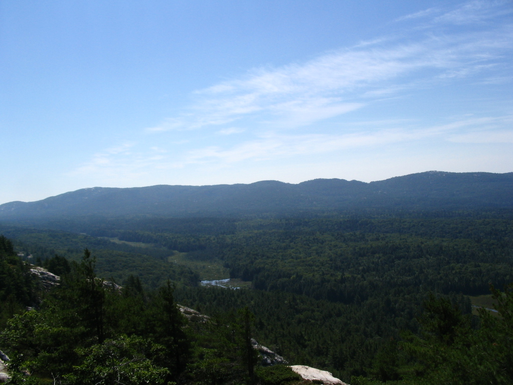
Next day I had a nice view looking south from up the hills east of
the Boudary-David portage. Didn't make pictures because of the mist.
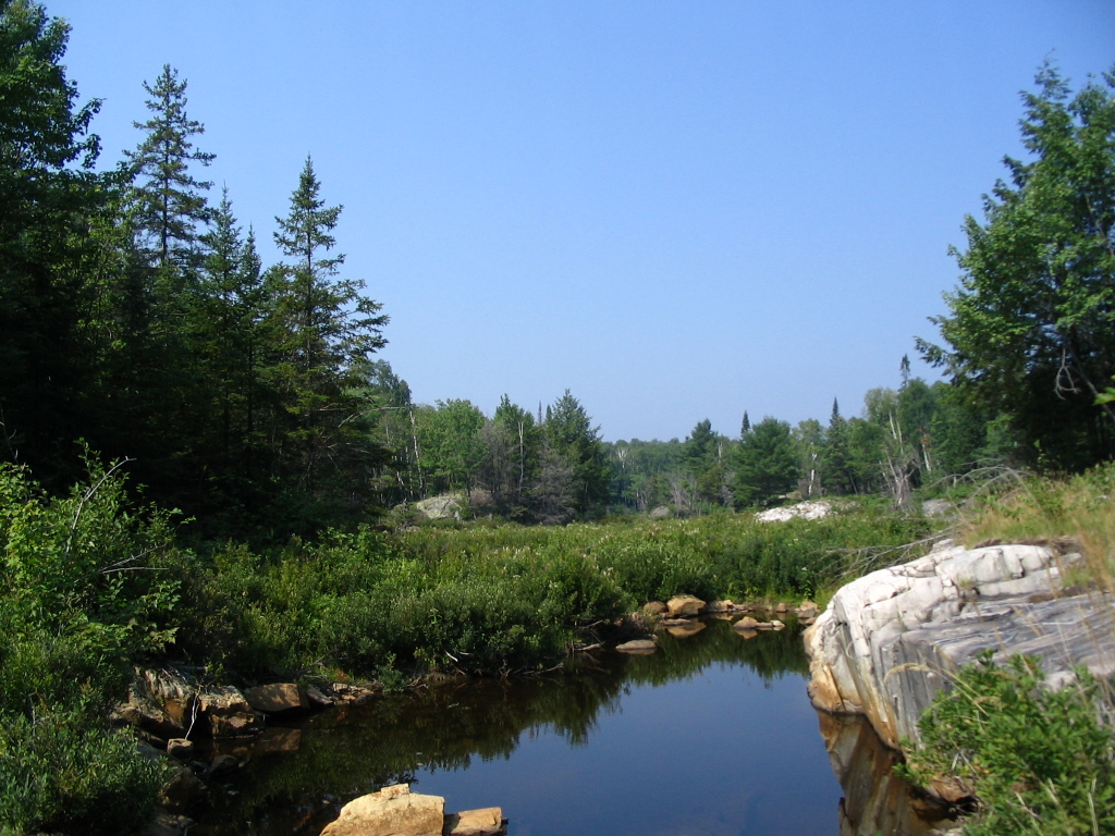
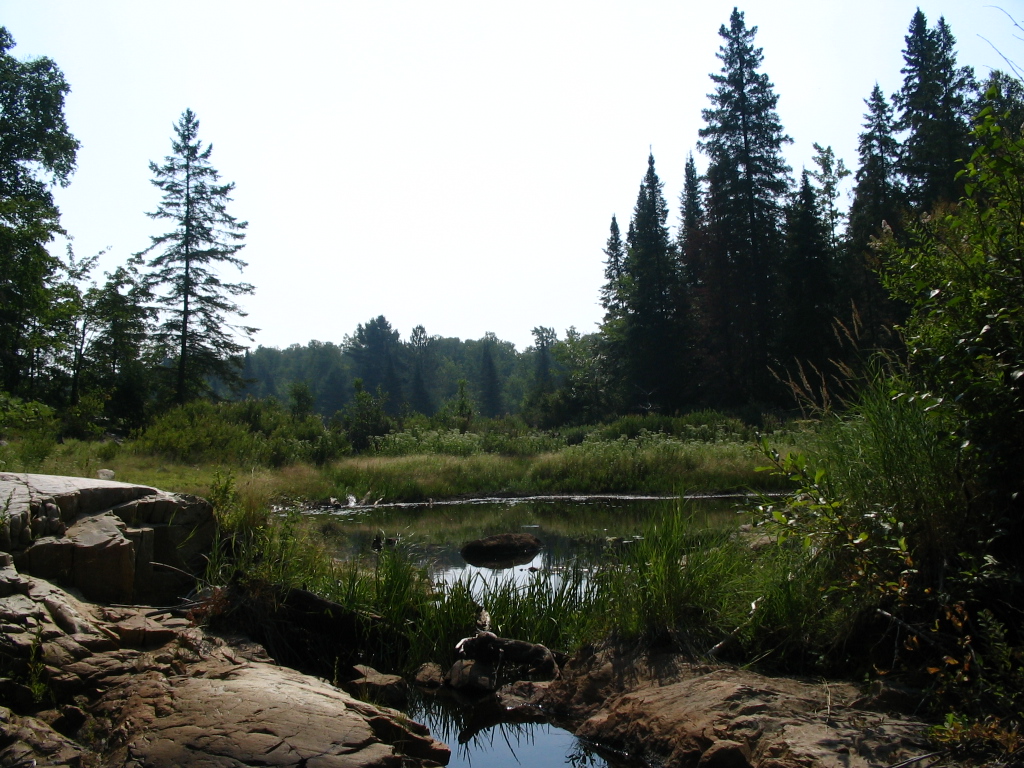
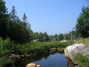
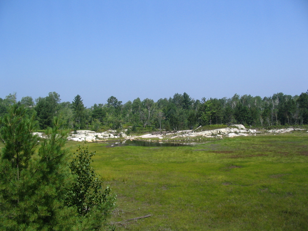
The following two are of the swamp in the east end of Bondary lake:

Soon after the trail split - one end went into what I expect are the
real mountains, ending at the Silver Peak. Didn't go there because I
didn't feel up to a tough 300 meter climb with the pack on my back.
Instead I continued east and this is looking north onto an unnamed
long lake, can only see a small part of it:
Camsite was H37, the one more to the north of Silver lake. Didn't
make pictures probably because I felt disgusted by the mess some
poeple left at the campsite.
Next day was supposed to be the toughest on the trip. Silver lake -
Sealy lake across all the rest of the hills. It ended up being even
tougher since I decided to forget Sealy lake and go directly to the
finish. A twelve hour marathon - both up/down a lot of steep hills
and 2-3 hours across the final section of the trail.
This is looking west from up the hills just south of Silver lake:
Can't remember which lake this is but it would be one of those
north-west of the trail before the Norway-Kakakise portage:
This one is either Proulx or Little Superior or Shingwak lake:
From up on top of the last serious climb:

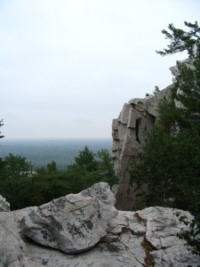
There are a lot of very impressive rocks on the way down the last
hills. This is one of them.
By the time I reached the flat area past Sealy lake, I realised I
never had the option of stopping there because there are no lakes
with clean water there. All I could see was swamps and having no
water filter I would only drink out of them if it was a matter of
survival.
No pictures there for several reasons. One is that I was so excited
I would hardly stop at all. Two is that I was so tired I didn't have
the energy to make pictures when I did stop. And three, it started
to rain.
Anyway, this portion of the trail is the least impressive, possibly
it is the most traveled.
There are granite rocks to be seen west of the Wagon Road lake all
the way to the George lake campground. They make a nice change (red)
from the white quartz everywhere else. Now I wish I made at least
one picture there.
Some final notes:
You have to be fit to finish the trail. Either that or crazy like
me.
If you start the trail going west, know that the first day or two
(before the La Cloche mountains) are the easiest, there is much more
challenging terrain later. If you start going east, know that the
nearly flat terrain before the Kakakise creek is unique to that
section of the trail but the Killarney ridge that follows is of the
toughest.
Don't be a disgusting pig. It costs you almost zero effort to put
that bit of tinfoil or paper napkin into a ziplock bag and carry it
back to George lake. Remember that tinfoil doesn't burn at all (dry
soup packets are made of tinfoil covered with paper) and plastic
looks like it burns but sometimes it just turns black and you can't
see it. Please keep the park clean, a tiny bit of paper can easily
spoil the feeling of wilderness you get in this park.
All pictures on this page are mine. They are, whatdoyoucallit,
copyrighted? Feel free to copy them and whatever but please mention
the author and a link to this page.
If you have questions for me, please use this
form.
Other trips of mine.
Cheers!