Algonquin Canoe Trip
25 - 31 August 2008
Some years ago I've decided to take a week or two every year to get
away from computers, all my projects, and all the people I know so
that I can clear my mind and come back ready to come up with new
ideas. You can see what I've done in previous years at the bottom of
the page. For the last week of vacation I had left this year I
decided to do something new. Not ride a bike or hike for a few days,
but take a canoe all around Alginquin park.
I've never ridden a canoe before, except for a couple of hours once.
But having done the La Cloche Silhouette trail, I knew I can
physically handle it, so I just did it. The unknown stopped scaring
me when I was about 4 years old, so that wasn't a problem either.
On the trip I kept some basic notes and made some photos. I don't
know if you'll find them interesting, but I want them for myself,
and you're welcome too have a look also.
Gearing Up
Besides the regular camping gear (backpack, tent, sleeping bag,
food, little things all as light as possible) I also needed a canoe.
I wasn't going to buy one cause it costs over 2000$ and it would
take many many trips to save that kind of money versus rental fees.
There are lots of rental shops around the park, most of them with
websites. I just used a search engine to find a few, and chose one
that looked reasonable - Opeongo Outfitters.
It cost me 18$ per day for a light 15 foot Saugeen. I don't think
you need a longer one unless you want more than 2 people in it, 15
feet is quite big. Also I payed 5$ to have it mounted on top of my
car, I was surprised to find that was possible to do on a Neon with
no racks.
In case you're wondering - while inside the park I payed attention
to where others' canoes were rented from and the overwhelming
majority were from Algonquin Outfitters. I don't know what their
rates are, but I inconspicuously lifted the end of one of their 15
footers and it was a bit lighter than mine. I don't remember what
the brand was.
Also since I started on a lake with no park office, I had to stop by
a park office and pick up my permit. Half of it has to be displayed
on the car while it's parked, the other half comes with you.
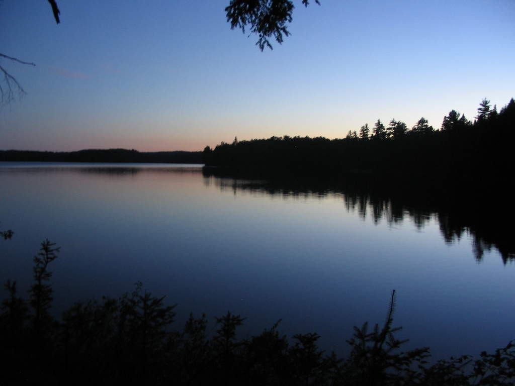
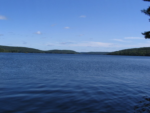
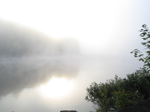
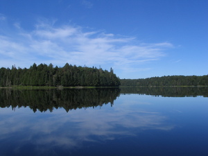
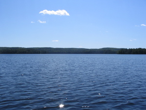
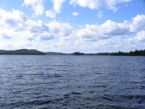
Monday
10:00 Started on Cache lake. This one is truly an access point and
nothing else. There's a small parking lot and a bit of a dock,
nothing else. Almost no wind, a few nice clouds covering the sun now
and again. Looks like it's going to be a nice day.
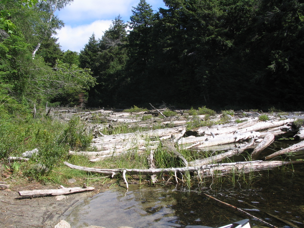
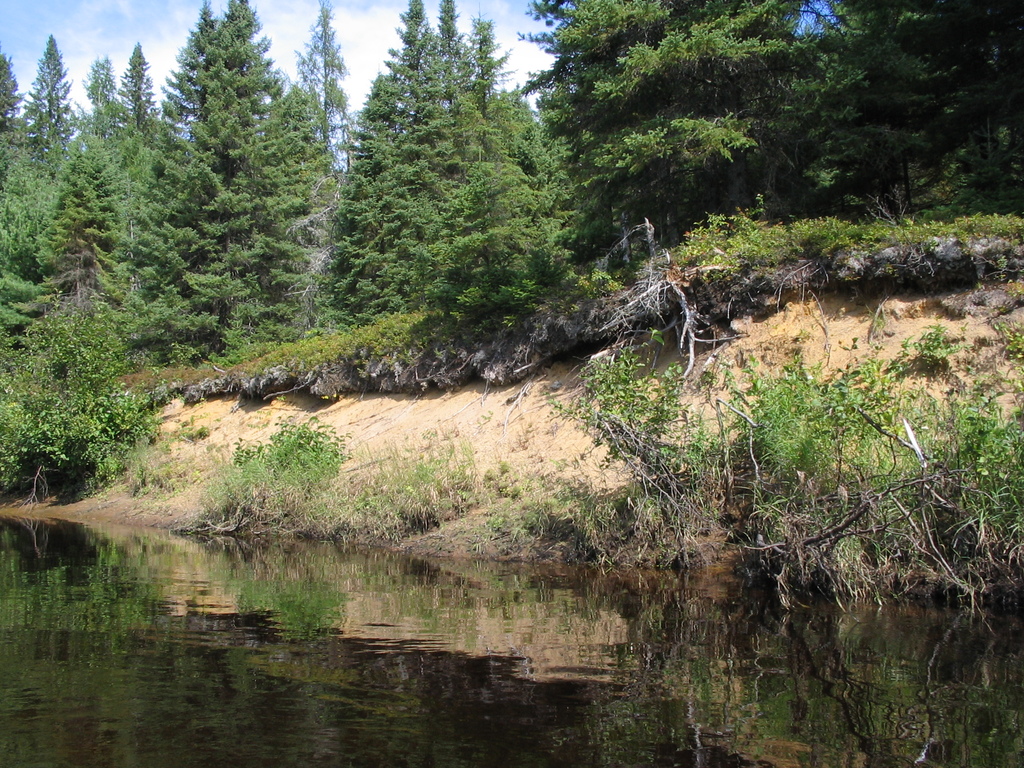
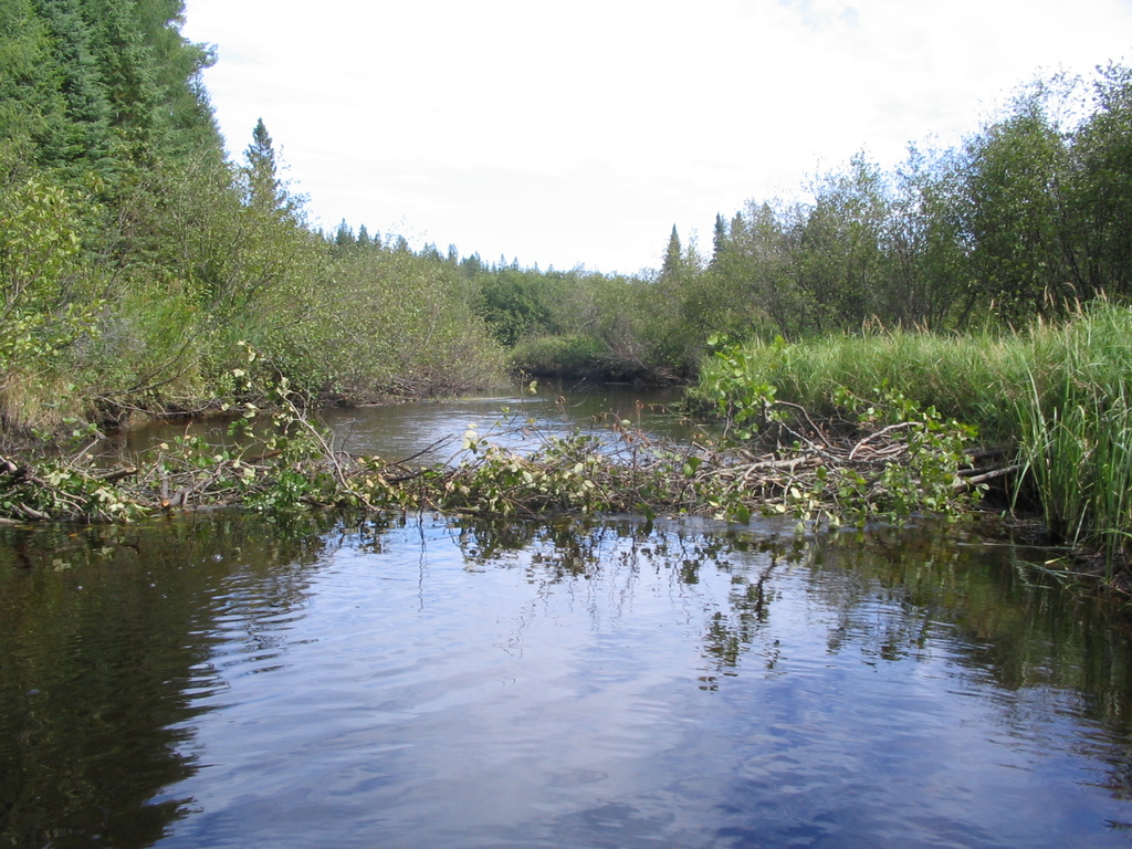
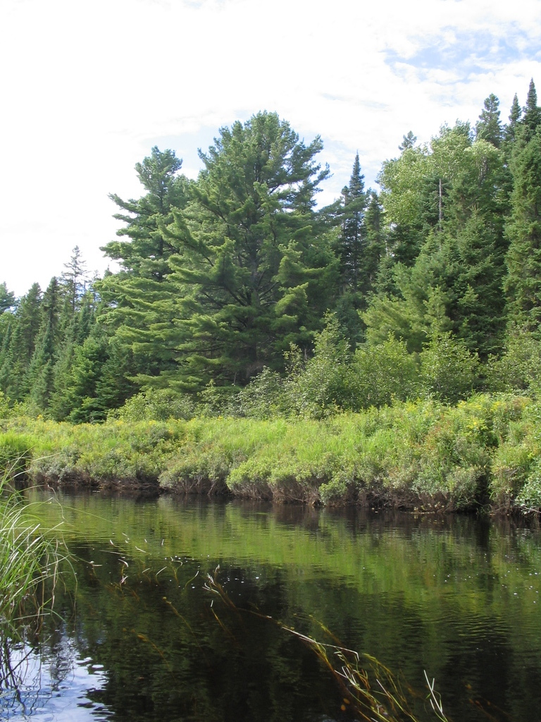
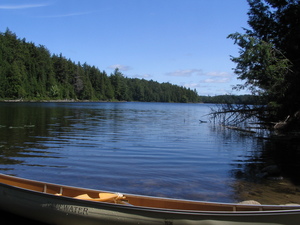
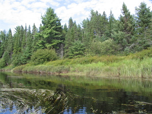
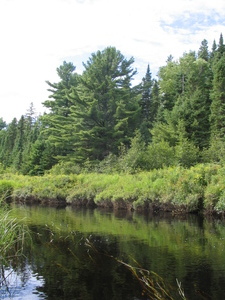
On the way from Cache lake to Canoe lake there are lots of cottages,
but not an overwhelming lot of traffic, generally speaking it's
quite nice. A few photos from there follow. The first is a campsite
on Tanamakoon Lake, the rest are somewhere in between access point 8
and Smoke Lake.
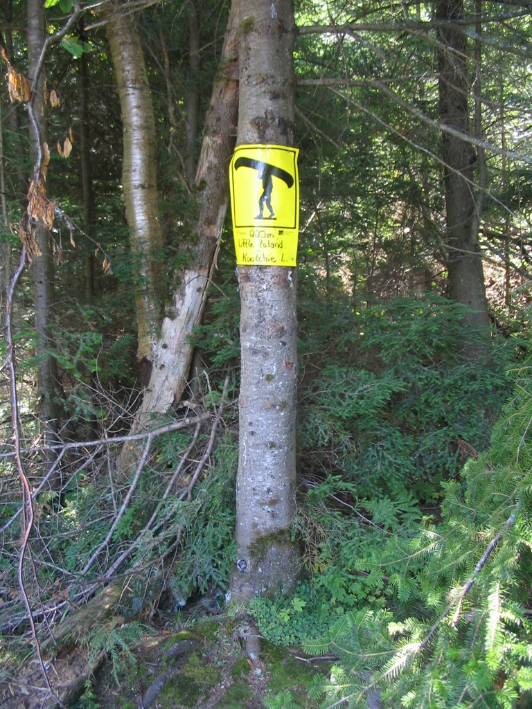
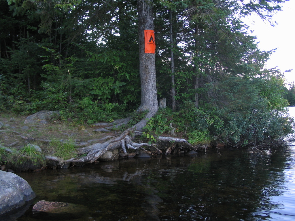
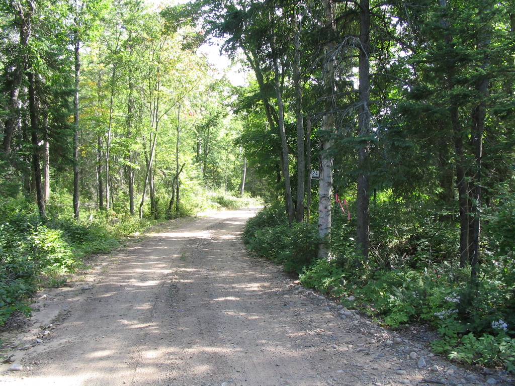
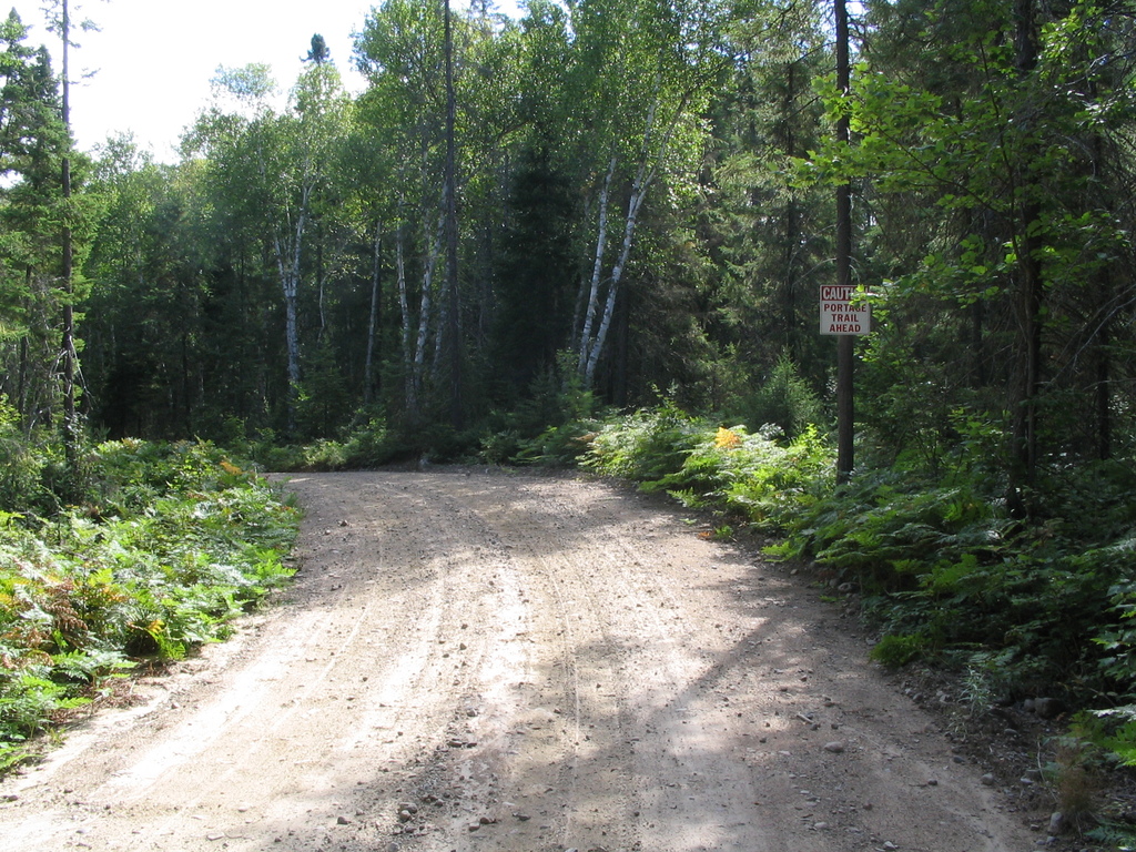
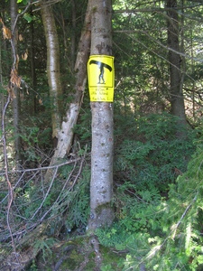
I also made a photo of a portage sign. Not that it's not obvious
what it means, but just so you know how small it is. It's very hard
to see from a distance, except from certain angles when the sunlight
is bouncing off it.
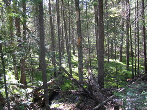
The portages are almost exactly what I expected. Definitely not
easy, having to carry both a backpack and a canoe, but not
overwhelmingly hard. On a short one I tried to carry the canoe and
backpack separately, but I found it takes 3 times as much time, and
is at least twice harder - doing twice the distance with half the
load is much worse than doing the distance once with double the
load. There are hills, but not the type you need to be a mountain
goat to climb.

The NW wind started picking up as I went, and by the time I got to
the middle of Tanamakoon Lake (11:00), it was really bad. I just
pushed with all my might to get through.
14:00 Then I got to Smoke lake. This is a big one, and if you don't
know how to deal with the wind, you may as well go home (if you can
even get off the lake :)). The problem is that if you go against the
wind, and you're alone in the canoe, the front of the canoe is
tipped up a little - and the wind wants to turn it backwards. It
took a while for me to decide that muscle isn't the way to deal with
it, and try some other things.
Finally I got it - what you need to do is this: instead of sitting
on the seat, and letting the front of the canoe tip up, get down on
your knees right in front of the seat, that way the canoe is
balanced (your backpack is in the front) and that takes a lot of
pressure off. Do that only long enough to turn the canoe back in the
right direction, then sit back down on the seat and carry on as
usual.
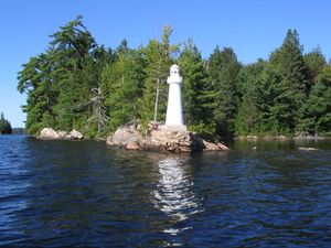
Learning this the hard way was a really stressful experience, so I
didn't make any photos. The following are of Canoe Lake, I think.
That toy lighthouse is pretty cute, it's very realistic and from a
distance it does look like a normal big one. Actually it's only
about as tall as me.
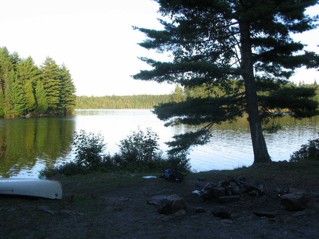
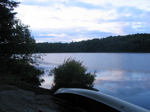
19:45 Got to a campsite I wanted on Joe lake, the third site south
of Camp Arowhon. There's a photo of a 'campground' sign (these and
the portage signs are the only signs on the trip), and also a photo
of my campsite:

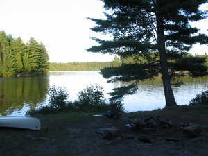
I barely had enough time to make fire and food, set up the tent, and
hang the backpack in the tree. Need about an hour for all that. In
the morning I realized I did something not very bright - guess where
I hung the backpack? Yes, you can - on that very tree in the photo
above, the one with the branches hanging over the lake :) Lucky me I
apparently know how to tie a knot properly.
20:45 Almost completely dark, heard some people in canoes and saw
them looking around with fashlights. They were looking for a
campsite. I offered to share mine, since I was alone and it's a
really, really bad idea to be out on the lake at night, you'll never
find a site (this isn't the city, at night here you can't see two
meters in front of you). They said thanks and asked if there are any
other sites close that they could try first. I pointed in the right
direction (two more just north of mine), and they never came back, I
guess they found one.
Tuesday
5:30 Got up. Somehow managed to make a fire with the wet junk left
from yesterday. Lasted just long enough to heat up water for soup
and tea.
Photos from earlier and later in the morning, before I left at 8:00.
The second one almost looks photoshopped, but it isn't:
10:00 At p2320. So far it's been easy going. I guess the only thing
that makes canoeing really hard is the wind. This was my first
really long portage. Had to stop for rest three times, but overall
it wasn't bad, cause I wasn't in a rush.
This is somewhere in the middle of it:
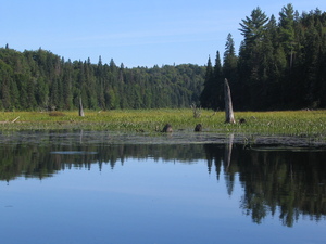
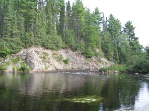
11:45 Got to Ink Lake.
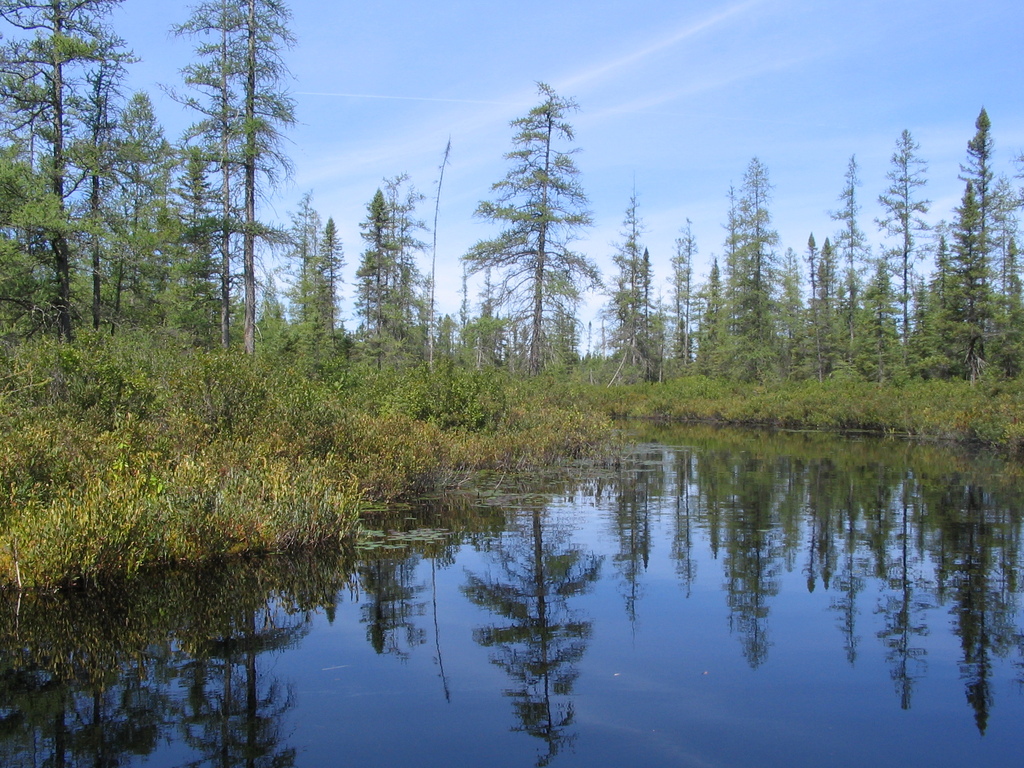
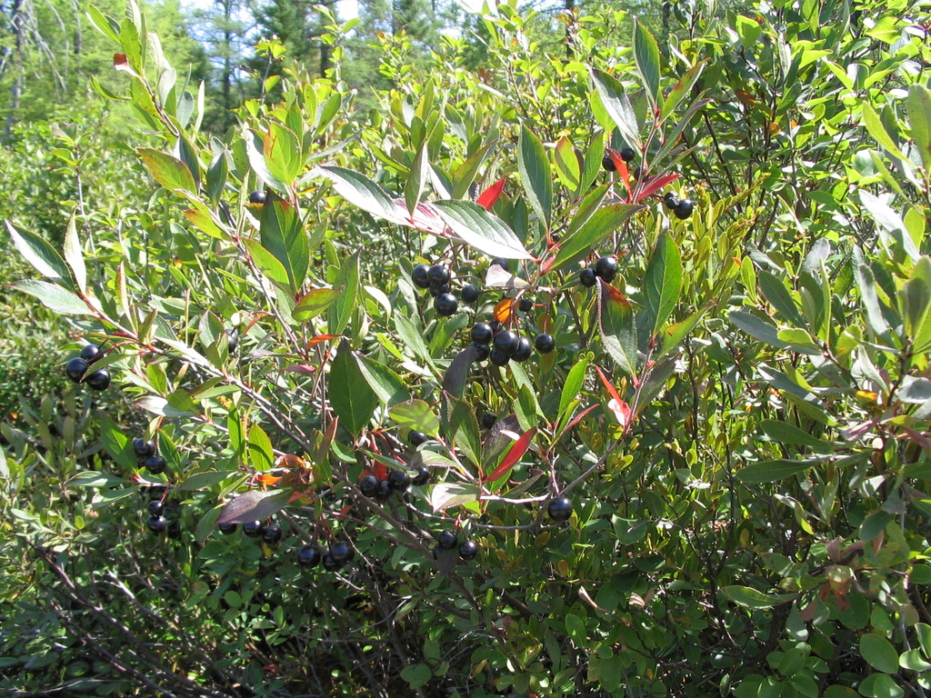
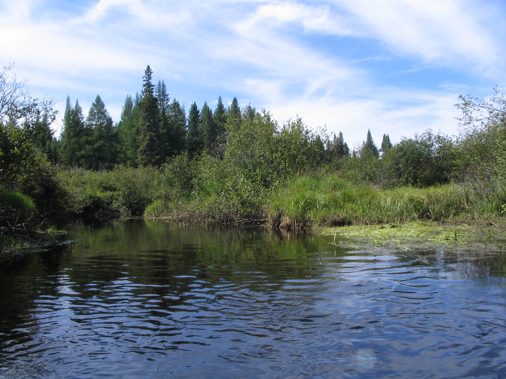
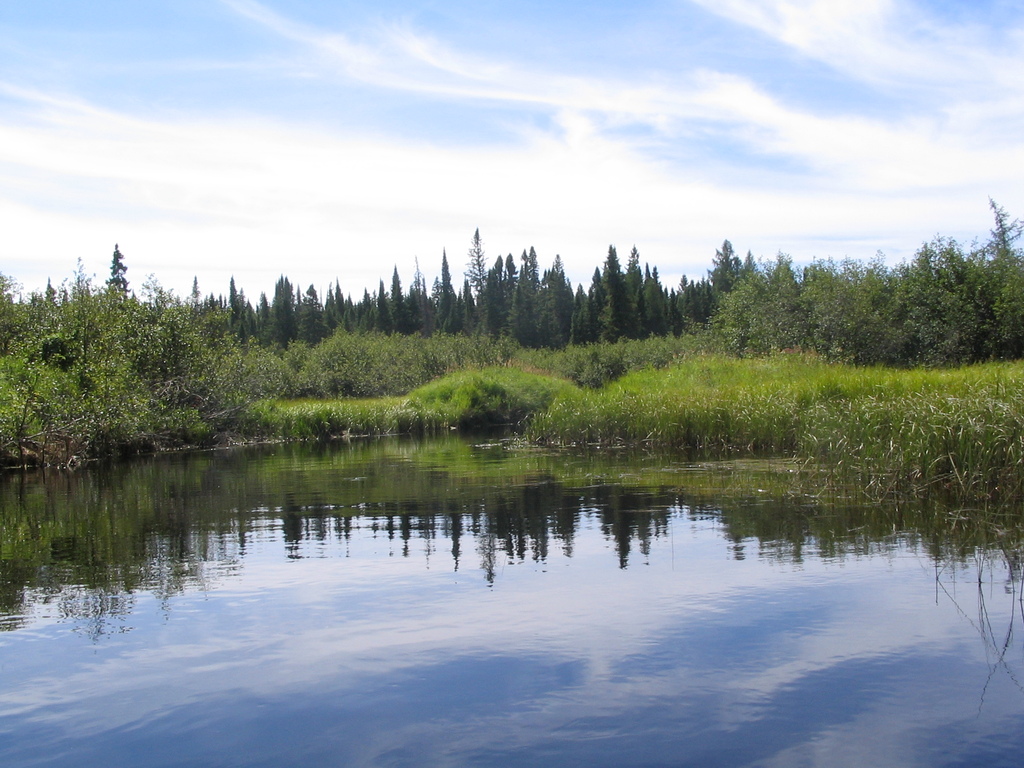
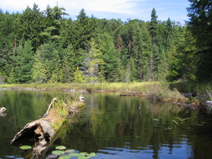
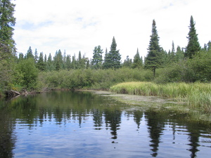
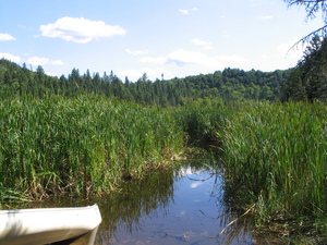
On the way to McIntosh there are some really pretty wetlands. Not an
overwhelming lot of life, but it's nice and quiet, and wetlands
don't smell like swamps (I thought they would). The black berries
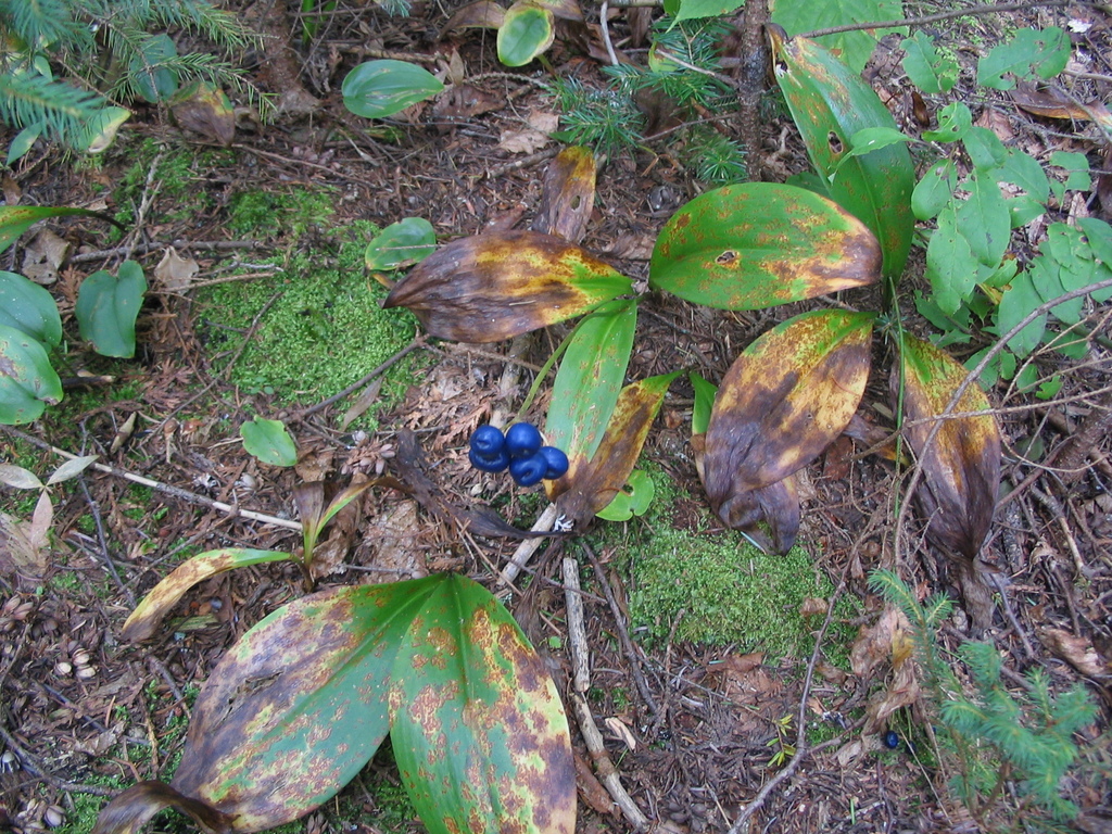
grow on bushes, I didn't care to try them to see if they're edible:


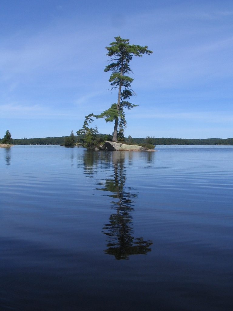
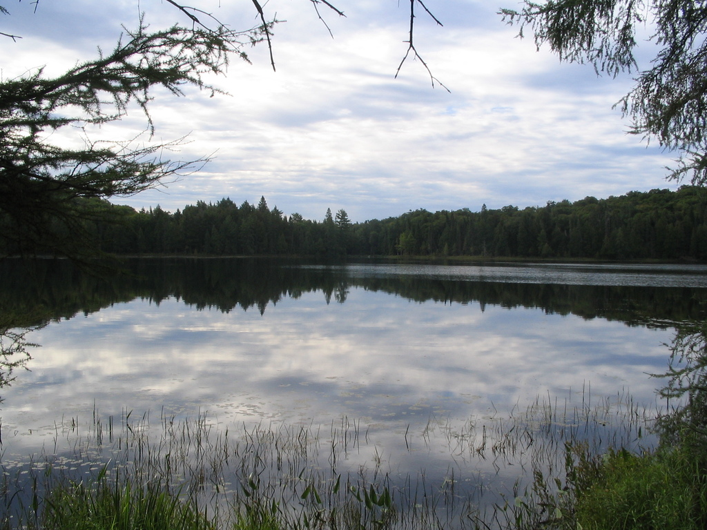
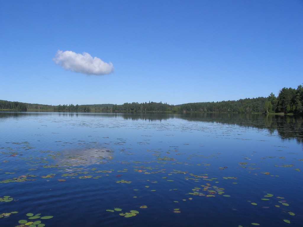
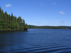
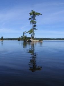
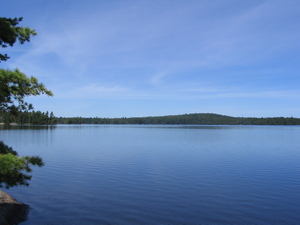
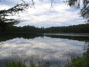
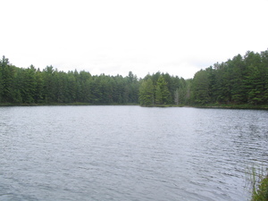
12:15 McIntosh Lake. Still no wind, so far a very pleasant day. This
is all there (south end, island in the middle, and north end):
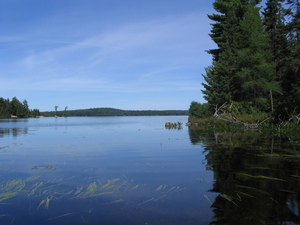
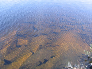
I stopped on the island for a bit of a rest. That photo of the rocks
is from there. What you maybe can't see in it is a lot of fishes, or
maybe you see them but you can't tell they're just sitting there.
It's really strange, they don't move at all, I guess they like to
warm up a little in shallow water between the sun and a rock.
Also I started to notice the ducks on the lake dive. And they're
serious divers. It was hard to time them because they swim a long
way under water and sometimes you wonder if they drowned, and then
see them some place you never figured they can get to. Eventually I
timed a few and they spend on average 50 seconds under water. Wow.
13:15 At p405. Soon after I got to the campsite I wanted - the one
in the north end of Timberwolf Lake. A view from the campsite:
I was glad I got there so early, got a chance to relax after
yesterday's ordeal. Made a clothesline and hung the tent on it to
dry, also washed my clothes in the lake and hung them too, but
underestimated a bit about how long they'd take to dry and had to
move them on top of some bushes to dry in the sun.
Also tried to develop a tan, but that got boring, since there was no
comfortable place to lie down in the sun.
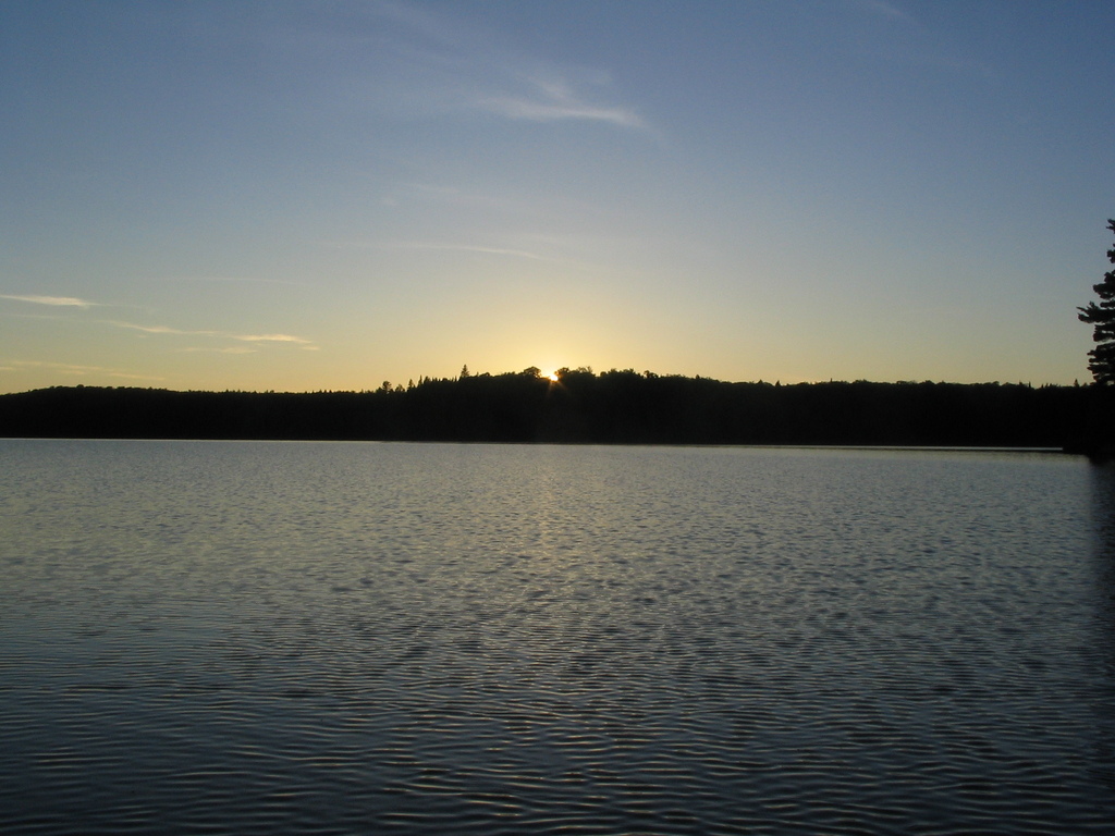
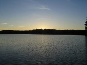
19:00 Just went around the lake in the canoe for distraction. Caught
the sunset, though the photo doesn't look all that pretty:

After dark swarms of mosquitos came out, and I went to sleep.
Wednesday
7:00 Got up
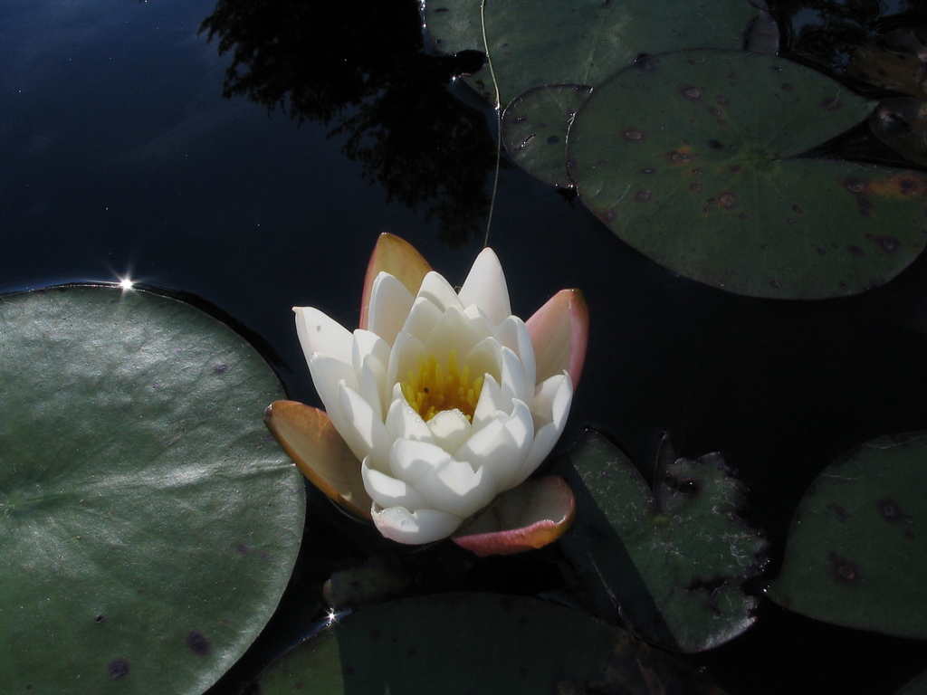
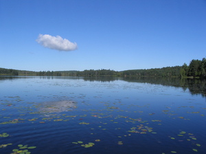
8:45 Left camp. I always try to make a nice photo of a water lilly,
and I never get it right, here's my best shot this time:

9:15 At p130
Some shots of Misty Lake. Those tree stumps I wanted to capture
because I saw them all over the place. The interesting thing about
them is that I can't figure out when it is that they grew. Did they
grow on land and the land get flooded? Where did the water come
from? Did they grow from under the water? I couldn't figure it out.

10:00 At p705. Here for the first time I encountered swarms of
mosquitos during the day. These, as I'm sure you'd agree, are very
annoying. And for various reasons I didn't have any way of
protecting myself. Actually I was mostly covered (long jeans, long
sleeve shirt), but they still get the hands, the neck, and the face.
Well this time they just pushed me to go faster and stop less for
rest.
11:15 At p1125
11:30 Started the portage, and was on Tim River at 12:00, it seemed
really easy, this one.
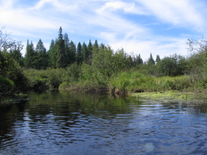
Tim river is a very small one. Quite deep enough for the canoe, so I
wouldn't call it a creek, but 'river' seems like an overstatement.
Turns out (as I hoped) that the current on the river doesn't make
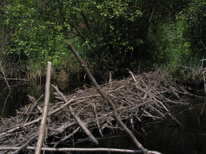
much difference, if any. The beaver dams can be a problem though, I
had to get out once to get my canoe over. If there are two people in
a canoe, they'd have to get out a lot, I don't see how they could
push it over like I did.
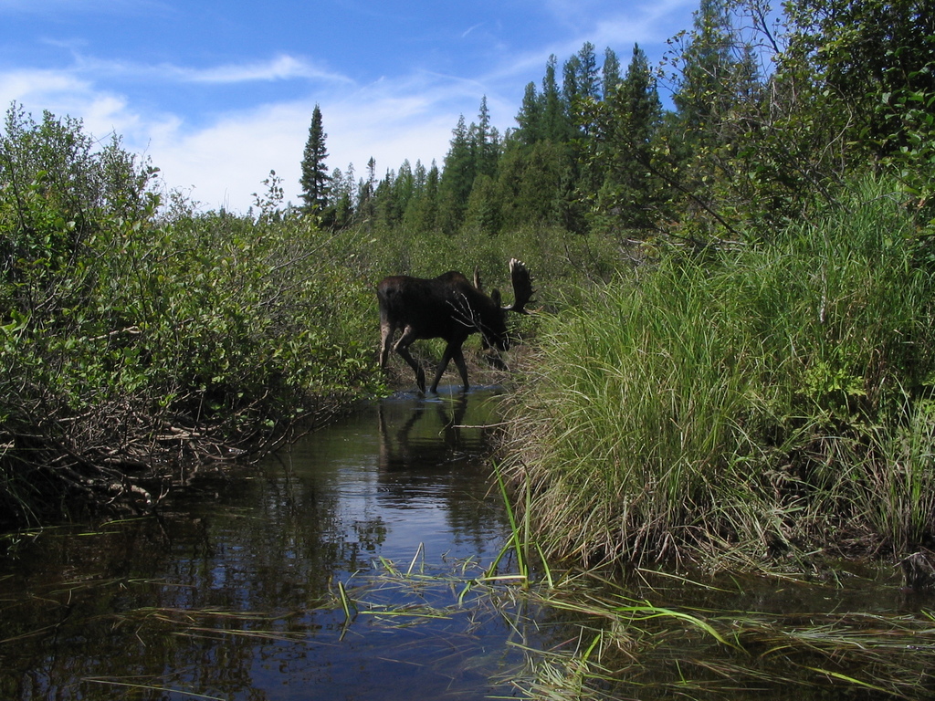
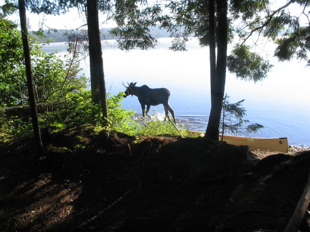
Saw a moose. It was just there, probably drinking. Didn't much care
about me.

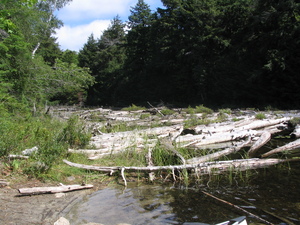
More photos, including a couple of beaver dams:


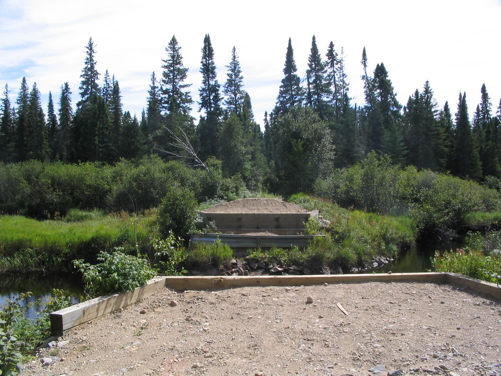
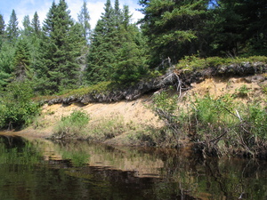
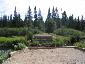
At one point I came across something strange. A concrete foundation
for a bridge, with proper roads on each side of the river. It was
strange because it's a rare sign of civilisation, and also because
the road wasn't on the map. In the following days I crossed a few
more roads like this, I guess they were used for forestry at some
point, but according the the park paper forestry wasn't allowed in
the park for years.
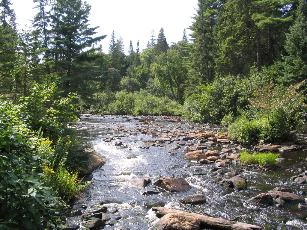
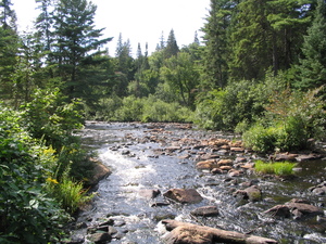
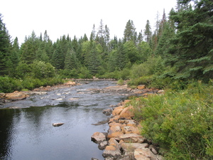
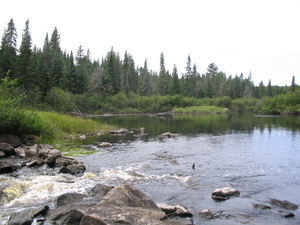
15:00 At p410. This is what rapids look like, and it's why you
sometimes have to portage even though there doesn't seem to be
anything special on the map:
Past the portage I saw some strange things growing on rocks. They
look exactly like jellyfish, all flobbery and kind of disgusting,
but they're attached to the rock, and I don't know whether they're
plants or animals:
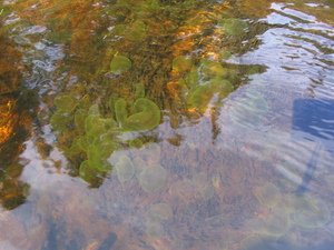
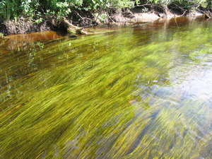
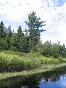
These water weeds are quite pretty, there are lots of them in all
the rivers:
18:00 At p250
18:40 At campsite on Rosabary. Very tired. Turns out I had no idea
how to estimate the distance traveled on rivers. I took them to be
the same as lakes, thinking measuring a straight line will be close
enough, but I was way off. When estimating how much time is needed
to canoe on a river, one should at least double the straight line
(which works quite well for lakes).
The rivers are constantly turning, with hardly any straight sections
longer than 50 meters. Not only does that double the distance, but
it also significantly decreases the speed and increases the ammount
of effort per meter needed. Often you have to either slow down, or
even stop completely to turn the canoe.
Also - navigation on the small rivers is brutal. Because of all the
turning both the sun and the compas are largely useless. And there
are rivers merging, which makes deciding where to turn very
difficult sometimes, especially if going upstream and both branches
look about the same width.
Thursday
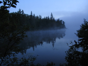
6:30 Got up. This is the first morning without fog on the lake.
Heard a pack of wolves - a combination of howling and squealing, I
guess they were either fighting or maybe killing something. Lasted
about a minute.
Looking at the map and considering yesterday's lessons about river
length, preparing myself for a long tough day.
8:20 Left. 8:40 got to p365. Saw some new berries, didn't touch
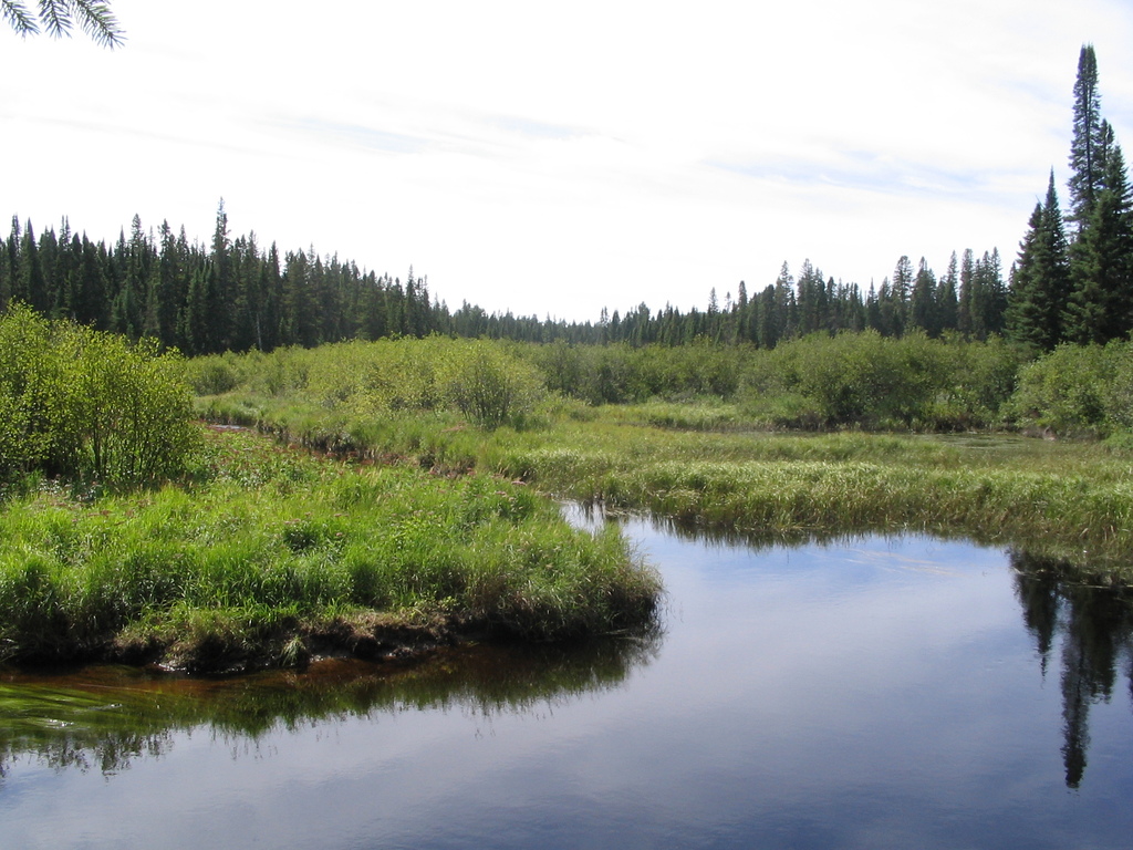
these either, also a photo of Floating Heart Lake:

10:15 Got to the pond on Latour Creek, between p1370 and p845.. This
creek was much easier to navigate than Tim River - mostly much wider
and no noticeable current, though I suspected I was going
downstream, and no dams, which is a big deal.
10:30 At p845. Photos of another road not on the map, unmarked roads
seemed to fascinate me on this trip:

11:10 Got to Loontail Creek. p845 was quite reasonable.
11:40 Passed by campsite just before merge into Nipissing River.
12:15 At p365. Must have merged into the Nipissing without noticing,
good thing I was going downstream and going the right way was the
easiest thing to do by accident. The rapids the portage avoids, at
both ends:
13:30 At p90.
15:45 At campsite south of p30. At this point it looked unlikely
that I'd get to Allen Rapids (the planned campsite), we'll see.
17:30 Got past p860.
19:00 (or so) got to a campsite, took me a while to realise what
happened. Apparently the signs on Nippising River for p1825, the
campsite east of it, and the west end of p385 are all missing. I
can't say for sure about the first two, but I walked back and
double-ckecked, the p385 sign is definitely missing.
Well, at least I did some white-water thinging. I thought it was
strange when there were lots of rocks on the river, but by the time
they became a real problem it was too late to turn back. The canoe
isn't really the kind of boat you want for this sort of thing, you
have to spend almost half the time in the water pushing it over
rocks.
No damage though, I didn't feel like being careless with the canoe
in the middle of the park, I haven't seen anyone today, and only one
canoe yesterday.
These are random shots from places on the Nipissing River (between
Loontail Creek and p385):
The campsite was free and there was lots of firewood, so the day
ended ok.
Friday
6:30 Got up. It was raining on and off since I went to bed
yesterday. Strangely enough the backpack wasn't soaked, even though
it was hung in a tree with no cover.
Heard some heavy cracking noises, thought it might be a clumzy bear,
didn't see anything. A couple of days later I heard similar noises
and it was a moose, so that's probably what it was here too.
Found something that looked like a bloodsucker strongly attached to
the bottom of my tent. Pretty disgusting.
Managed to start a fire with just one newspaper, but it never got
hot enough to cook. At least the smoke scared some mosquitos away so
I could eat in relative peace.
7:45 Left.
8:30 At p2715. Just before getting here saw a handful of beavers,
but wasn't fast enough to get my camera out and make a photo.
After p2715 it started raining. Swarms of mosquitos everywhere,
including on the river. I had no idea mosquitos come out during
rain, I always thought they come out after the rain. Annoyingly they
don't seem to care that raindrops bigger than them are falling all
around.
I also learned that dragonflies eat mosquitos. It's really nice to
see a mosquito floating around, and suddenly - zap, it's gone. Sadly
there aren't enough dragonflies to keep all the mosquitos away.
11:30 At p500, a.k.a. p495.
13:10 At p1300. No photos so far, rain and mosquitos in the way.
16:10 Made it to camp on Whiskeyjack lake. The mosquito swarms
almost unbearable at this point. As soon as I kill one that sits on
me, 3 more come at me. Hours and hours of pain.
On the campsite it wasn't so bad, the one I picked was on a sort of
cape, and I guess they can't deal with the wind.
Lots of firewood here, as if noone used the site for a year. Didn't
even have to walk away from the site to gather enough. It burned
real well too, strange considering that it was raining all day until
a couple of hours ago.
Saturday
6:15 Got up. The mosquito nightmare yesterday and what I learned
about misestimating distances made me reconsider the planned route.
I was going to go to Catfish Lake today and Big Crow Lake tomorrow,
but looking at all the portages and rivers on the way to Catfish I
chickened out and went straight down to Big Crow. The distance is
about the same, but mostly all open water.
8:15 Leaving.
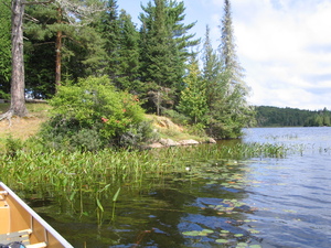
12:00 At p735. So far so good, pleasant day. Here's Burntroot Lake:
12:30 At Lake La Muir.
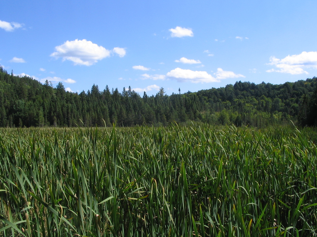
14:20 At p685. After getting over the portage I was greeted with a
new challenge. A field of tall reeds to go across. Have a look at
the photos. I don't know if you feel what I did when I saw it, it
looks like there's this way into the reeds and then one has to wade
across.
I was also confused a bit, I was expecting Hogan Lake. Took me a few
minutes to notice the blue line between the portage and the lake.
An interesting thing about the reeds is that this is the only place
in the whole park I've seen them grow. I'm rather used to reeds on
lakes where I come from, and was surprised to not see any here. They
are kind of pretty.
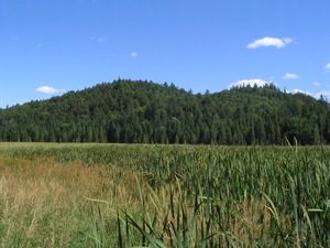
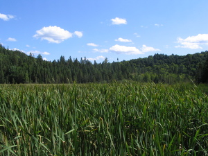
And this is Hogan Lake:
15:45 At p3750. The longest portage on my trip, possibly the longest
one in the park (can't be bothered to check). Fortunately its the
last thing I have to do today, and there's plenty of time. This one
is pretty tough. There's a lot of climbing for the first 800 meters
or so.
18:10 At Big Crow Lake. Just took the first campsite south of the
portage, was exhausted at this point.
Sunday
1:15 Woke up and went out for a piss. The tent was about 25m away
from the lake, and I walked towards the lake a bit. Coming back I
realised I can't find the tent. Tried to feel my way through,
remember where the thinner trees are, or try a straight line from
the opening on the lake to the fireplace, nothing worked.
Luckily I hung the backpack on a tree next to the lake, so I could
find that. I got a newspaper and a lighter out, made a flare, and
found the tent. Later in the morning I looked at the trees again to
figure out where I was looking, and I realised I must have been 1
meter away from the tent and couldn't see it. And my tent is almost
white, wow.
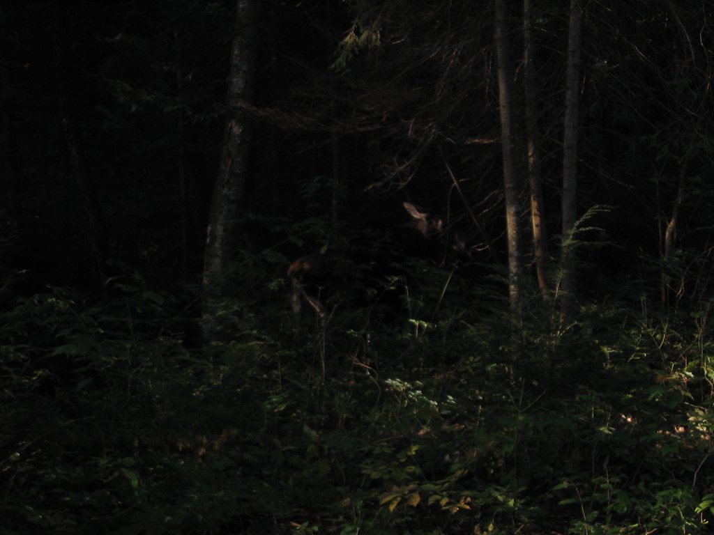
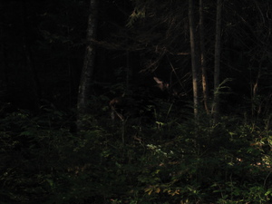
6:30 Woke up again. Heard some weird loud noises. Wondered if it's a
bear, but didn't see anything until after I made the fire and was
cooking soup. A moose and her baby went right by my tent. The old
one just looked at me once and went about her business, eating. The
young one was shy, and either stayed still or ran to behind the
mother. Great stuff. I tried to make a photo, but it was still too
dark for the camera. If you try hard enough you can see part of the
mother here:
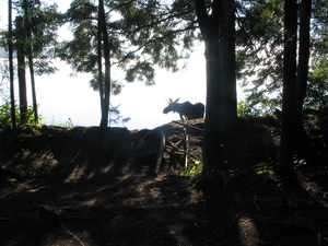
7:00 Half an hour later, another moose walks by my canoe, just as
indifferent to me:

Once I started going down Big Crow Lake I realised the water is
dirty not only near shore where the moose walked by, but everywhere,
even in the middle of the lake. I don't actually know what petrol
smells or tastes like, but this smelled and tasted like petrol. I
had to refill my water bottle later, and it took some effort to get
the smell out of it.
I can't remember where this was, maybe Little Crow Lake:
13:00 At p965. And p310. The reason there's two is that you have the
option of doing the 310 on a small lake or over land. I went over
land, but I don't recommend it, there's a lot of climbing to go such
a short distance.
Been taking it easy all day but looks like I'm moving too fast
anyway. Will probably try to make it to the car today.
After passing the portage it's like I stepped out of the wilderness
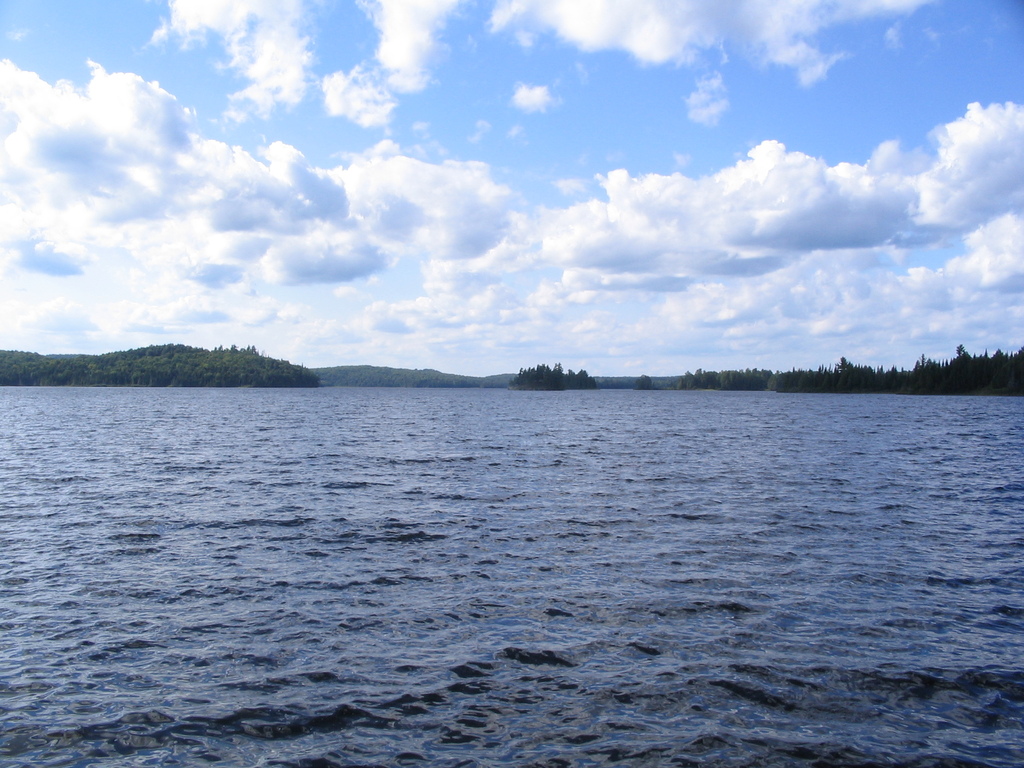
and back into civilisation. Lake Opeongo has nothing of the
wildernes Algonquin is famous for, and that I've seen over the last
week. Campsites are occupied all day long, motor boats constantly
going by, dogs barking, bleh. Good thing I already decided to not
stop here today. I would have a really hard time finding a campsite,
especially since I was a day early and had no reservation, but even
if I did it would have been hard - even the North Arm of the lake is
quite big.
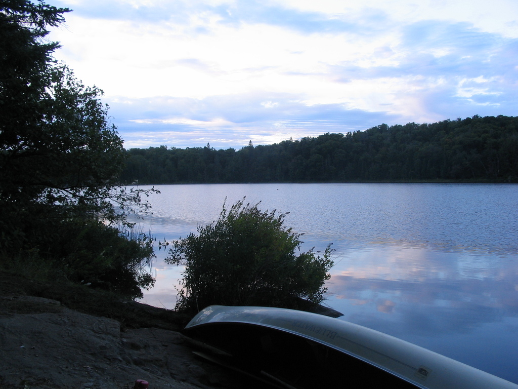
17:45 At the Opeongo Access Point and Park Office. Wooh!
Found the pile of canoes near the dock that all said Opeongo
Outfitters (where mine was from), and just left mine there. I wanted
to call and ask if I would get a refund since I came back two days
earlier, but the phones weren't working. I didn't bother doing it
later either.
This is aso where I stopped taking notes. To make it to the car
(back at access point 8) it looked like a 25km walk, so I expected
to be hiking until midnight at least. One annoying thing is that
there were no garbage bins at the park office, so I had to carry the
garbage with me too, that was unexpected, though not too bad cause
there wasn't that much of it.
Hiked over to highway 60. Apparently I underestimated how far it was
from the lake to the highway, so added another 5k to the estimate.
At the Beaver Pond Trail or so someone stopped and offered a ride. I
was too tired to quickly consider the offer, and just accepted. They
were going to give me a ride as far as the campground where they
were staying, I said that's fine, as long as it's in the right
direction it's great. Then we found out we're all russian, and they
decided to take me all the way. Very nice people, didn't even accept
money for gas (with the gas prices these days).
On the way 2 or 3 times they pulled over where we saw a bunch of
other people looking at something. I was amused seing so much
enthusiasm about looking at wildlife, I was so used to seing it
already.
And that was it for my trip. They dropped me off right next to my
car, which was very dirty from something but started without
trouble, and I drove home.
I had a great time, and I recommend it for anyone interested in this
sort of thing, though I'd advise doing something less extreme first
to see if you can handle it, for example go do the La Cloche
Silhouette trail.
Equipment (see how many times the word light is repeated?)
- Small and light canoe
- Backpack
- Light tent for 2 people
- Light but warm sleeping bag
- Working compas that you know how to use
- Camera
- Knife, fork, spoon, light pot, light tea cup, light water
bottle
- Newspaper (for starting a fire)
- A couple of lighters
- Map (from park office, or outfitting store)
- Lots of ziplock bags for everything that can be damaged by
water.
General points of interest
- Didn't see any bears
- Need some way to deal with mosquitos, even if it's gloves and
a face mask
- Very pristine, clean up after yourself god dammit
If you have questions for me, please use this
form.
Other trips of mine.
Cheers!